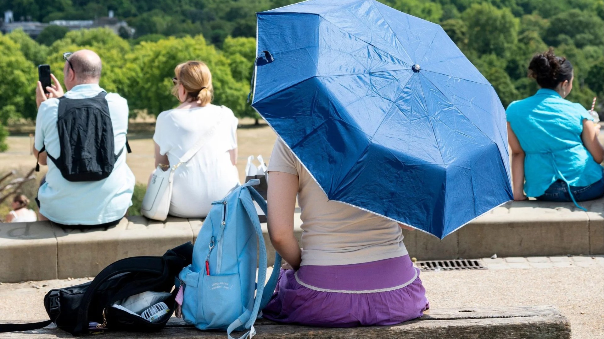
THE UK’s latest heatwave is reaching its peak, bringing high temperatures and official weather alerts across the country. With temperatures set to climb as high as 35C in the South East, many people are looking ahead to when cooler conditions may return. A heatwave is declared when a location records at least three consecutive days with daily maximum temperatures meeting or exceeding a specific threshold Credit: Alamy The current spell peaks on Wednesday (July 29) with temperatures reaching up to 35C Credit: Alamy What is the Met Office’s definition of a heatwave? According to the Met Office, a heatwave is declared when a location records at least three consecutive days with daily maximum temperatures meeting or exceeding a specific threshold. These thresholds vary by UK county to reflect local climate conditions: Sign up for The Sun newsletter Thank you! 25C for Scotland, Northern Ireland, Wales, and parts of northern/western England 26C to 27C across central and southern counties 28C for Greater London Late July has met these criteria across large parts of England and Wales, confirming that the UK is officially experiencing its fourth heatwave of Summer 2026. Provisional Met Office data shows July has run 3C above average nationwide, putting it on track to rank among the top three or four warmest Julys on record. The current spell peaks on Wednesday (July 29) with temperatures reaching up to 35C in the South East. In response, the UK Health Security Agency (UKHSA) has issued an amber heat-health alert covering London, the South East, East Midlands, and East of England from Tuesday until Thursday. How long will the heatwave last? Relief from the heat is on the horizon as the current spell breaks heading into August, yielding to more changeable weather before high pressure returns later in the month. Most read in The Sun According to the official Met Office long-range weather breakdown, the start of August will bring a noticeable shift in weather conditions. Sunday, August 2 – Tuesday, August 11 “Mostly dry away from the north and northwest initially, where scattered showers are expected. “There is a chance that some other western parts could see some rain by the end of the weekend. “Temperatures ranging from around average in the North West to warm in the South East, perhaps becoming very warm in the South East through the weekend. “It will probably become more changeable thereafter, with potential for an area of low pressure to move close to or across the UK early in August. “This could bring spells of heavy rain and perhaps some strong winds for some areas. “It may become more settled again towards the end of the first week of August.” Wednesday, August 12 – Wednesday, August 26 “Dry and settled conditions will probably dominate much of this period with high pressure patterns tending to affect the UK. “This may be interrupted at times by Atlantic frontal systems, especially in the north, or thunderstorms in the south. “However, overall rainfall amounts will likely be below normal. “Temperatures will probably be above normal and some spells of hot weather and heatwaves are possible, especially in the south.” Comment now
When will the July heatwave end? Met Office forecast
Full Article
Original Source
Read the full article at Thesun →KhanList aggregates and links to publicly available news content. We do not host full articles from third-party sources. Always verify important information with original sources.