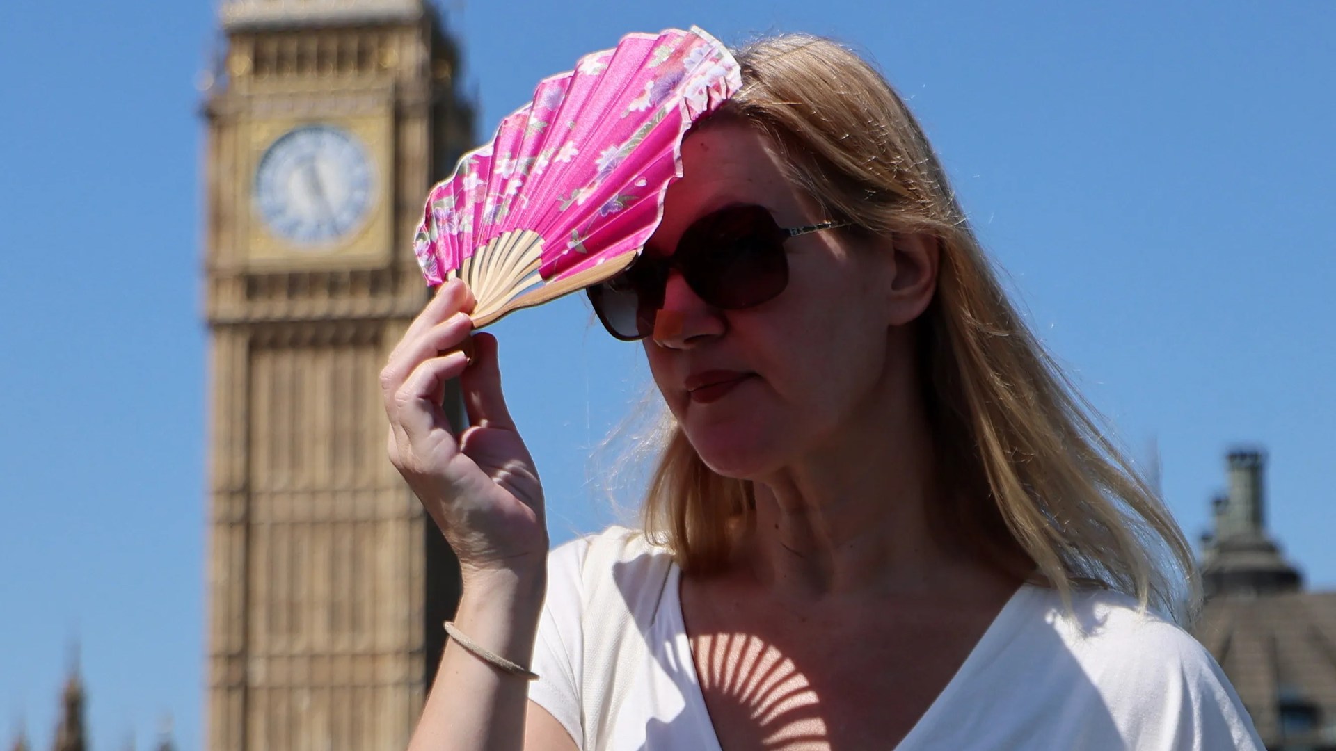
BRITAIN is in the middle of a fourth heatwave of the summer with temperatures hitting 35C – triggering widespread drought, hosepipe bans for over 23million people and wildfires A major incident was declared at National Trust site Dunwich Heath in Suffolk, with the fire service saying it could be tackling the blaze for another 48 hours. Parts of the UK are officially in the middle of a fourth heatwave this summer Credit: EPA And for the hardest-hit drought areas, significant rainfall is not expected over the coming days Credit: EPA Meanwhile, official drought status has been declared across half of England after July saw just 7% of expected rainfall. Are we in a heatwave? Parts of the UK are officially in the middle of a fourth heatwave this summer. Sign up for The Sun newsletter Thank you! According to the Met Office, an official heatwave threshold is only met when a location records a period of at least three consecutive days where daily maximum temperatures reach or exceed a specific target. Because the climate varies across the country, that target is not the same everywhere. What counts as extreme heat in Scotland could be a standard summer day in London, for instance. The Met Office sets temperature thresholds by region: 28C: London, Surrey, Berkshire, Buckinghamshire, Hertfordshire, Bedfordshire, and Cambridgeshire. 27C: Parts of the South East and East of England, including Hampshire, Sussex, Essex, and Lincolnshire. 26C: Central England, the West Midlands, and parts of Yorkshire. 25C: Wales, Scotland, Northern Ireland, the North East, North West, and South West of England. If your local weather station hits or tops your area’s threshold for three straight days, an official heatwave is logged. Most read in The Sun But if temperatures dip on day two, the clock resets. The latest heat peaked on Wednesday (July 29) as temperatures hit 35.2C at Writtle in Essex. When will the heatwave end? Relief from the heat is beginning to arrive, and a cold front moving across the UK on Thursday (July 30) is expected to drop temperatures closer to average for most regions. But high heat will hang on across East Anglia and the South East for one final day, allowing those areas to hit the three-day heatwave threshold. Temperatures will settle in the mid-20s across central and eastern regions heading into the weekend – feeling much cooler in the north-west – before warming up again slightly on Sunday (August 2). When is it next forecast to rain in the UK? For the hardest-hit drought areas in southern and eastern England, significant rainfall is not expected over the coming days. Wisley in Surrey reached 42 consecutive dry days this week, but the incoming cold front is unlikely to bring any meaningful rain to southern regions. The wettest weather remains confined to the north-west of Scotland. Met Office Deputy Chief Forecaster Mark Sidaway said: “The forecast is showing potential for more rain than much of the UK has experienced over the last few weeks. “However, it looks as though amounts of rain for many will be fairly modest, and won’t balance out the shortfall that we have recorded this summer. “It’s still possible that some areas of the south will miss out and see little or no rainfall.” What is the Met Office’s long-range forecast? The Met Office’s long-range forecast for Monday, August 3 – Wednesday, August 12 states: “It will probably become more changeable for a time at least at the start of this period. “This means there is a greater chance of some rain or showers for areas of the UK which have seen prolonged dry weather, although rainfall amounts are likely to be fairly modest. “Just a low chance of a deeper area of low pressure which would bring more widespread and heavier rain along with some strong winds. “Beyond that it will likely become mostly dry once again as we head toward mid-August. “Temperatures closer to average, still the potential for some warmer interludes, especially in the south, although perhaps not the heat we have seen in recent weeks.” Looking further ahead, the forecast for Thursday, August 13 – Thursday, August 27 adds: “Dry and settled conditions will probably dominate much of this period with high pressure patterns tending to affect the UK. “This may be interrupted at times by Atlantic frontal systems, especially in the north, or thunderstorms in the south. “However, overall rainfall amounts will likely be below normal. Temperatures will probably be above normal and some spells of hot weather and heatwaves are possible, especially in the south.” Comment now
When will it rain? Met Office forecast with UK basking in fourth heatwave of the summer
Full Article
Original Source
Read the full article at Thesun →KhanList aggregates and links to publicly available news content. We do not host full articles from third-party sources. Always verify important information with original sources.