
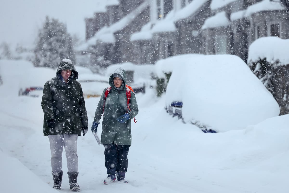
Forecasters have issued a yellow warning for snow across a large part of the UK as wintry weather brings the potential for travel disruption.Some roads and railways are likely to be affected, and there is a “small chance” of power outages and an impact on mobile phone service, the Met Office said.The warning, which stretches from Staffordshire in the West Midlands to south-west Scotland, will be in force from 12am until 11am on Tuesday.The affected area covers much of Yorkshire, as well as Derbyshire, Northumberland, Greater Manchester, Cumbria and Lancashire.Forecasters said a band of rain is expected to head northwards across the UK through Monday night and Tuesday morning which will likely turn to snow after it encounters colder air in the warning area.London will escape the snow as temperatures stay above freezing but the capital faces heavy downpours. The rain is expected to hit at 8pm with heavy downpours, with the rain expected to last at least 12 hours.London is facing heavy downpours this evening (Maja Smiejkowska/PA)PA WireThe temperature is expected to feel milder than in recent days, with the temperature forecast not to drop below 5C in London.But elsewhere sub-zero temperatures are expected to bring snowy conditions.Locations at 100-metre altitude or higher will mainly be affected, with any snow falling below this level likely to be temporary and quickly melting, the Met Office said.In areas where snow does accumulate, depths of 1-5cm are likely with some locations above 300-400 metres potentially seeing 5-15 cm, it added.Read MoreMet Office chief forecaster Dan Suri said: “The greatest chance of settling snow will be over ground above 200 metres, with 1-5 cm possible in places and potentially 5-15 cm above 300-400 metres.“Combined with strong easterly winds, this could bring some travel disruption to higher-level routes.Forecasters have wanred snow could lead to disruption on the roads and railway (Owen Humphreys/PA)PA Archive“Through Tuesday morning the snow will increasingly turn back to rain, with some minor surface-water impacts also possible.“Away from higher ground, and so for many people, rain rather than snow will be the main story, although it will continue to feel cold in the north.“Temperatures will be closer to average further south, before more settled conditions gradually develop here late this week.”It comes after the UK saw its coldest night of the season so far on Sunday, with a low of minus 7.7C recorded at Tulloch Bridge in the Scottish Highlands.The UK Health Security Agency (UKHSA) has issued a yellow cold health alert for the North West, North East and Yorkshire and the Humber, in place until 9am on Thursday.These alerts mean weather conditions could result in an increased use of healthcare services and a greater risk to life for vulnerable people, the agency said.
UK weather: Snow warnings for large parts of country as London faces downpours
Full Article
Original Source
Read the full article at Standard →KhanList aggregates and links to publicly available news content. We do not host full articles from third-party sources. Always verify important information with original sources.