
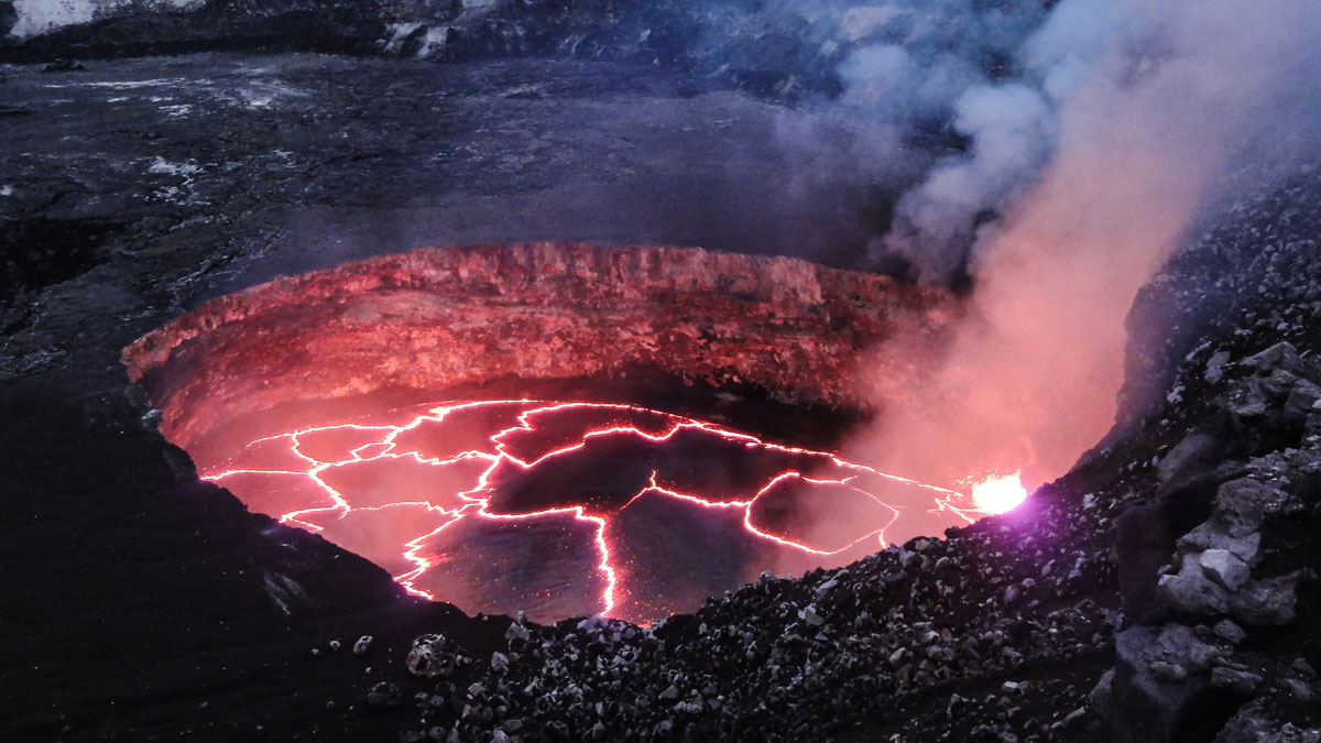
New research tests the use of synthetic aperture radar, or SAR, to estimate the area of lava lakes, like this one in Kīlauea’s Halemaʻumaʻu Crater, in Hawaii. Credit: U.S. Geological Survey/Flickr, Public Domain Source: Journal of Geophysical Research: Solid Earth The slow-moving lava of an effusive volcanic eruption can transform a landscape. But escaping gases, cloud cover, accessibility issues, and limited local resources can make monitoring the development of a flow field dangerous and difficult. Satellite-based radar, also known as synthetic aperture radar (SAR), is a tool that can be used to monitor volcanic activity through thick plumes and clouds as well as at night. Interferometric SAR is frequently used to measure surface deformation. However, SAR also measures backscatter, which is the radar signal that bounces off the ground and returns to the satellite. Backscatter is sensitive to ground surface roughness and slope changes, but it’s not widely used because it can be hard to interpret what the signal changes mean in physical terms. The very active Kīlauea, on the Big Island of Hawaiʻi, is an ideal place to test out SAR backscatter measurements because it’s home to many monitoring stations that have collected detailed geochemical, geological, and geophysical datasets. This information could be used to check ground-based information against satellite data. Dualeh et al. conducted a retrospective SAR backscatter analysis of a very active period during the decades-long eruption at Puʻuʻōʻō, part of Kīlauea Volcano’s East Rift Zone. Their aim was to test how SAR backscatter data could be used to track lava movement, estimate lava lake area, and measure crater depth changes over time. Researchers examined 167 ascending and 105 descending COSMO-SkyMed satellite images of lava flows and a lava lake captured during eruptions at Puʻuʻōʻō’s crater between August 2010 and December 2013 and found that SAR measurements generally matched observed events. Radar shadow measurements captured changes in crater floor height as well as major collapse and inflation. Backscatter helped reveal information about lava lakes, such as their perimeter and the locations of internal structures and vents. SAR backscatter, the researchers suggest, can provide a complementary dataset for monitoring effusive eruptions that other technology might miss, or in cases where ground conditions make direct observations difficult. However, its usefulness can be limited by satellite resolution, noise levels, and natural changes on the surface. (Journal of Geophysical Research: Solid Earth, https://doi.org/10.1029/2026JB034913, 2026) —Rebecca Owen (@beccapox.bsky.social), Science Writer Citation: Owen, R. (2026), Tracking lava flows from space, Eos, 107, https://doi.org/10.1029/2026EO260306. Published on 16 November 2026. Text © 2026. AGU. CC BY-NC-ND 3.0Except where otherwise noted, images are subject to copyright. Any reuse without express permission from the copyright owner is prohibited.
Tracking Lava Flows from Space
Full Article
Original Source
Read the full article at Eos →KhanList aggregates and links to publicly available news content. We do not host full articles from third-party sources. Always verify important information with original sources.