
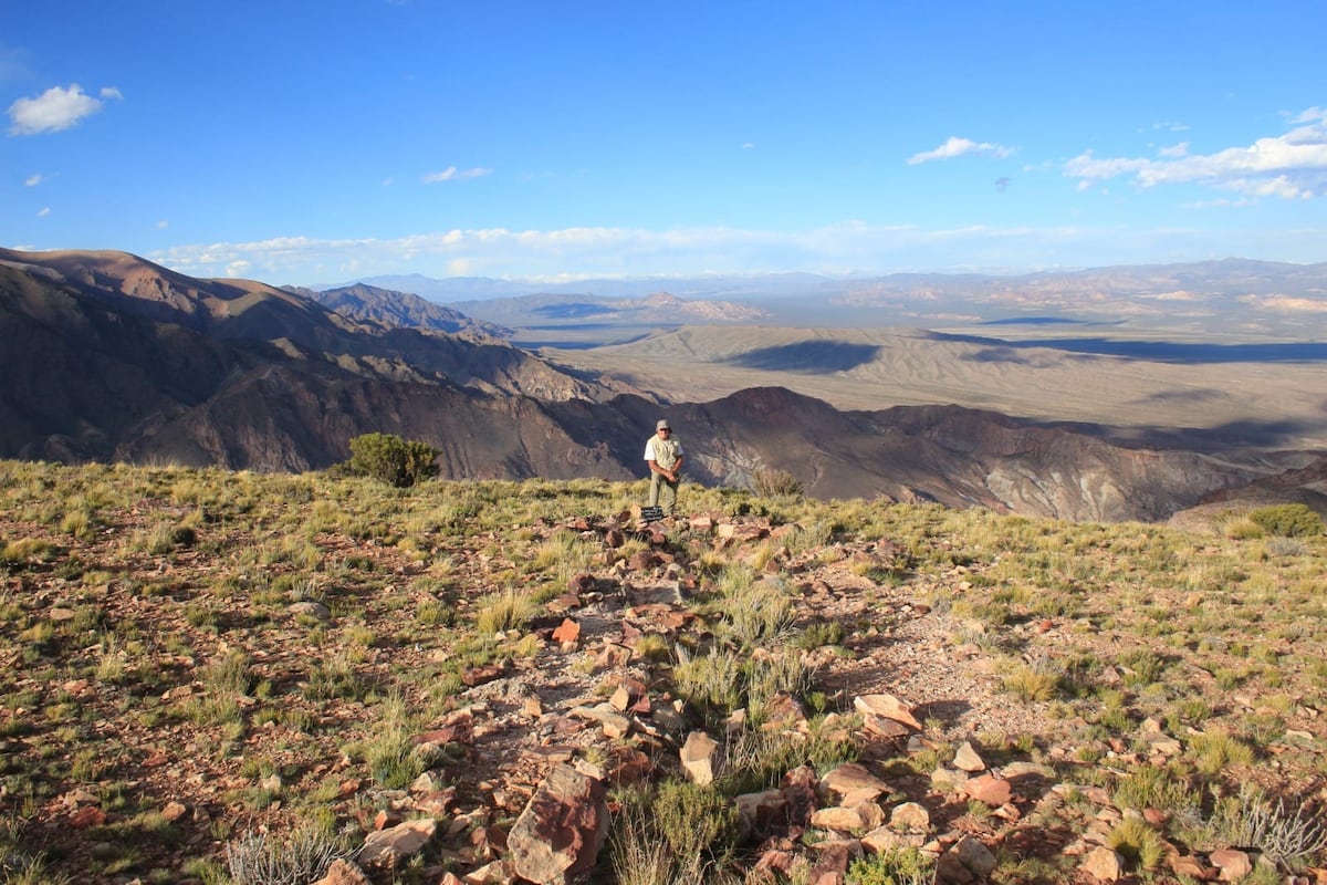
The Dictionary of the Spanish Language explains that a geoglyph is a “large figure on slopes or in wide plains, carved directly into the ground or made with stones, especially by prehistoric peoples.” Of all those located worldwide, the most famous are the Nazca lines (Peru), which have been declared a UNESCO World Heritage Site. They are visible only from surrounding mountains or from the air, which gives them an aura of mystery. Now, a group of researchers from Argentina and Spain will study a structure that could be a geoglyph discovered last year at about 3,000 meters above sea level in the Tigre mountain range (Argentina) and which was found by mountaineer Carlos Gobbi while consulting Google Earth. A joint expedition will attempt to examine it in situ in December.Cristina Prieto-Olavarría of the IANIGLA-CONICET institute, an archaeologist and the project’s principal investigator for Argentina, and co-director Horacio Chiavazza of the Laboratory of Historical Archaeology and Ethnohistory, (FFyL, National University of Cuyo), told the Argentine newspaper La Nación: “There are no precedents of this either in news reports or in publications. It is an unprecedented find for archaeology. It is not a common archaeological site; there is no other like it in Mendoza (western Argentina).”The research is part of Arqueoandes, a collaborative project between researchers from both countries whose lead experts are Prieto-Olavarría and Mario Gutiérrez of the University Institute for Research in Iberian Archaeology at the University of Jaén. The project seeks to study landscape transformation in the high Andes and the impact of different historical processes on the environment.Gobbi’s discovery via Google Earth occurred in May 2025, but it needed to be verified on site, so the mountaineer made a first expedition in September of last year. He was unable to reach the location. The same happened again in November due to the weather and the physical conditions imposed by the Andean range. Only in February of this year did he reach the archaeological site, after a four-day trek with hardly any water and no phone connection.At the site he found linear stone structures that formed corridors, as well as what appeared to be piled stone mounds. The corridors exceeded 30 meters in length. He took photographs and showed them to Prieto-Olavarría and Chiavazza, who, from those images alone, could not determine either the date of construction or the function of the structures.Faced with that challenge, the Spanish-Argentine interdisciplinary team will attempt a new ascent in December to date and interpret the structures. One hypothesis they are considering is that the construction could be linked to the Inca period (15th and 16th centuries), although they are not ruling out an earlier or later origin. Regarding function, it may have served multiple purposes over time, such as a seasonal camp. There are elements, they say in a statement, that support that possibility. “The site is in an area that is very difficult to access and without water. It also does not appear to have been a site of permanent occupation,” they maintain.This hypothesis is reinforced by the fact that Gobbi did not find, aside from the structures, any archaeological material on the surface — no ceramics or food remains that would suggest permanent occupation. Archaeological activities in the area will clarify whether there are other occupations near the structure.If the site were indeed Inca, it might be related to that society’s sacred conception of the landscape, in which mountains, trails, and other landmarks were interconnected within a territory steeped in meaning.The specialists plan to carry out high-precision terrain analysis, foot surveys, and geochemical studies, drone work, remote sensing, and geoarchaeology investigation. The goal is not only to reconstruct what the people who occupied or used that space did, but also what the environment was like at that time. “We will be able to work on environmental aspects related to water availability, climatic events, and also human events,” they explain.The research will be carried out jointly with specialists from the University Institute for Research in Iberian Archaeology at the University of Jaén. The institute’s director, Juan Pedro Bellón, describes the find as “first-rate” and highlights the importance of collaboration between the two institutions.Meanwhile, researcher Mario Gutiérrez, co-director of the project for Spain, says that the University of Jaén will contribute advanced methods to analyze sediments and botanical remains at a microscopic scale, with the aim of reconstructing landscape evolution and the activities undertaken by past societies.Sign up for our weekly newsletter to get more English-language news coverage from EL PAÍS USA Edition
Spanish-Argentine expedition to verify whether a geoglyph located in the Andes via Google Earth is genuine
Full Article
Original Source
Read the full article at English →KhanList aggregates and links to publicly available news content. We do not host full articles from third-party sources. Always verify important information with original sources.