
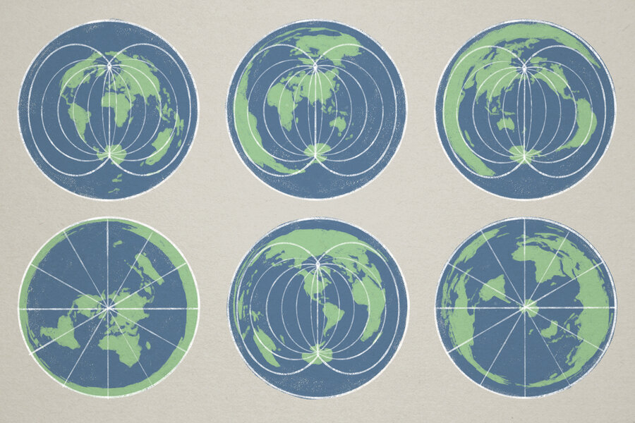
The term geopolitics, frequently used in discussing global diplomacy and trade relations today, was coined only about 125 years ago. But the concept has been around far, far longer, as evident in the practice of cartography or mapmaking since ancient times.One of the earliest known world maps – created by the Babylonians in 600 B.C.E. – placed Babylonia at the center. Since then, seafaring and colonizing nations in particular have done much the same, centering their locations or adjusting sizes to project global reach and relevance.“A map is never neutral,” according to Robert Dussey, foreign minister of the small African nation of Togo. “It shapes perceptions, influences how the place of peoples and continents in the world is understood,” he said at a United Nations briefing last week.The U.N. marked a new step in global efforts to rebalance public perceptions and geographic realities as 164 countries voted for a “Correct the Map” resolution on Sept. 4. The United States cast the lone vote against what it dubbed a “radical ideological project.” (Six countries abstained, citing concerns over disputed areas of Ukraine and Eastern Europe.)The U.N. resolution recommending use of the Equal Earth projection map carries symbolic rather than legal weight. It cannot and does not require members to adopt this map, but it highlights the far-reaching implications of viewing and recognizing sovereign nations and neighbors in new ways.Small and medium-sized powers – from Europe to Asia to Latin America – are concerned about being squeezed in the rough-and-tumble geopolitics among China, Russia, and the U.S. In this context, their desire to be respected as relevant players in the global order is more than a plea to be “seen.” With many African and South American countries holding large reserves of critical minerals, the U.N. vote on a new map is a reminder of their key role in world trade and economic growth.“Changing the map obviously doesn’t change the world. But correcting a representation that distorts it is already an act of truth,” France’s Foreign Minister Jean-Noël Barrot said on the social platform X after the vote. Since the late 1500s, the Mercator map has been one of the most common, used by European navigators as they expanded trade and established colonies across the globe. For directional accuracy, its use of straight rather than curved lines of longitude make land masses closer to the poles appear much larger than those nearer the equator.Thus, the anomaly of Greenland appearing larger than Africa, although it is only one-fourteenth that continent’s size – or Mexico, which is larger than Alaska in area, appearing smaller.But, as the U.S. Geological Survey explains, “Every flat map misrepresents the surface of the Earth in some way.” That’s because it can show only “one or more – but never all” elements of direction, distance, area, and shape.In many respects, it is the mental maps that individuals and nations have developed over generations that might matter more, according to analysts such as German professor Karl Schlögel. During a speech at the Brookings Institution in Washington earlier this year, he underscored how Russia’s 2022 invasion of Ukraine radically altered Europe’s mental map: A nation long considered more Russian than European, more Eastern than Western, suddenly became an integral part – and symbol – of Western Europe and its democratic ideals.Military and trade wars can “shatter into fragments” generational views or mental maps, Dr. Schlögel said. But such situations can also offer “points of departure for a new and fresh interpretation: a great opportunity to rethink our analytical frameworks,” he pointed out.The U.N.’s vote on a new map offers a much less disruptive opportunity to rethink worldviews.
Remapping fresh worldviews
Full Article
Original Source
Read the full article at Csmonitor →KhanList aggregates and links to publicly available news content. We do not host full articles from third-party sources. Always verify important information with original sources.