
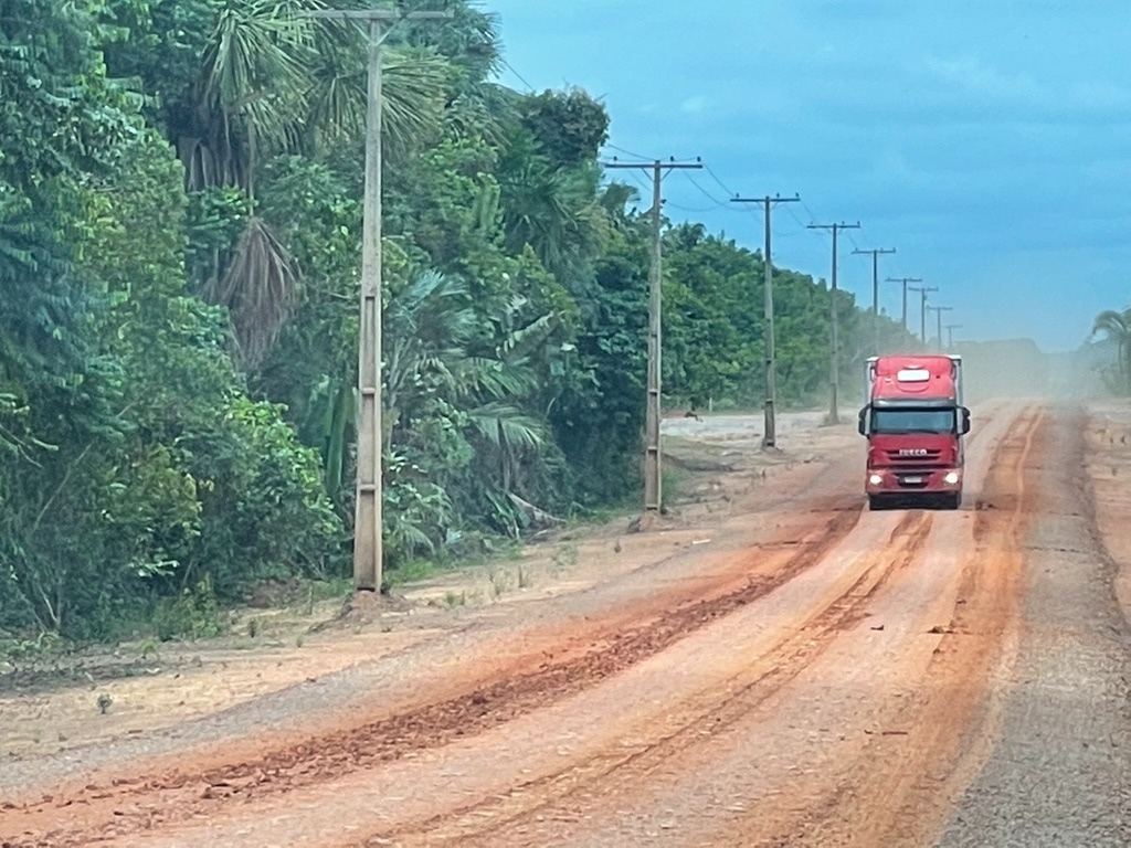
Criminal organizations linked to illegal logging, illegal gold mining, land grabbing and cattle ranching now dominate large sections of land around the BR-319 highway in one of the Brazilian Amazon’s largest stretches of forest, according to a new study. The finding comes as Brazil is moving forward with further improvements to the controversial highway. The recent study measured the sharp increase in deforestation after 2015, when then-president Dilma Rousseff authorized the first maintenance work on the highway, abandoned since 1998. Her successor, Jair Bolsonaro, promised to pave the road, which intensified land speculation and the conversion of large forest areas into cattle pasture. According to the research article’s lead author, São Paulo University (USP) researcher Lucas Ferrante, the lack of government surveillance made the area fertile ground for organized crime. He said that drug trafficking and environmental crimes often share the same routes and financial flows, while cattle ranching is frequently used to launder money from criminal activities. “This region is becoming a hub of large farms controlled by organized crime,” Ferrante, associated with the Center for Research on Biodiversity and Climate Change[1] (CBioClima), told Mongabay in a video call. The BR-319 highway, which connects the cities of Manaus and Porto Velho in Brazil’s northern Amazon, was built during Brazil’s military dictatorship in the 1970s and later fell into disrepair. The highway’s 339-kilometer (211-mile) middle section is largely impassable in the rainy season, though many still try to traverse it. In April, President Luiz Inácio Lula da Silva moved to advance work on the BR-319 highway, using a new legal loophole to bypass environmental licensing requirements. Conservationists are raising concerns that paving the road could lead to more deforestation and be a tipping point for the Amazon. In September, Lula’s administration created four new sustainable development reserves covering 668,000 hectares (1.65 million acres) near the BR-319 in an attempt to mitigate the environmental damage. The federal government also plans to create three checkpoints and 170 crossings to ensure animals can pass safely. According to Ferrante’s estimates, however, it would take at least 28 checkpoints where federal agents check vehicles for illegal activity on all secondary roads already open alongside BR-319. “The number of illegal access roads is already six times the length of the highway,” he said. The recent study relied on deforestation data, satellite imagery, cattle trading documents and five field expeditions. During one of these expeditions, Ferrante found a farm worker’s dead body along an illegal side road, reflecting the increase in violence linked to land conflicts in the region. The study urges the government to reassess or revoke the licenses and regulatory measures that enable further road improvements. “Under current governance conditions, paving BR-319 would consolidate a high-risk corridor for environmental crime, territorial appropriation, public insecurity, and potentially irreversible socio-environmental degradation,” it stated. Banner image: Organized crime is involved with land grabbing and cattle ranching in the BR-319 area, new study shows. Image courtesy of Lucas Ferrante. Credits Topics
Organized crime is growing along highway in a pristine section of the Amazon: Study
Full Article
Original Source
Read the full article at News →KhanList aggregates and links to publicly available news content. We do not host full articles from third-party sources. Always verify important information with original sources.