
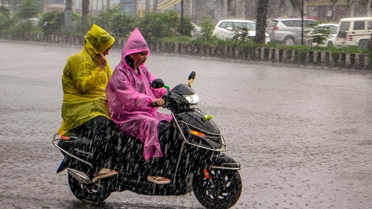
The southwest monsoon is set to remain active across several parts of India on Wednesday, August 12, with the India Meteorological Department (IMD) forecasting heavy to very heavy rain in a number of states.East Rajasthan is expected to see the most intense spell, with isolated extremely heavy rainfall also likely.Heavy to very heavy rain is forecast at isolated places in Haryana, Chandigarh and Delhi, Punjab, Himachal Pradesh, Jammu and Kashmir, West Uttar Pradesh, West Madhya Pradesh, Gujarat and Odisha. A man rides a bicycle while shielding himself amid heavy rain. (Photo: PTI) The forecast comes after widespread rainfall across several regions over the past 24 hours, including particularly heavy showers in East Rajasthan and West Madhya Pradesh. DELHI, RAJASTHAN, CENTRAL INDIA TO GET WETEast Rajasthan is likely to be the main rainfall hotspot on August 11.The IMD has warned of heavy to very heavy rain, with isolated extremely heavy rainfall in the region. People cover themselves as rain lashes the Taj Mahal during the monsoon, in Agra. (Photo: PTI) The state has already recorded intense rainfall this week.Bakani in Jhalawar received 27 cm of rain in the 24 hours ending at 8:30 am on August 11, while Pirawa recorded 26 cm.Several other locations in Jhalawar and Kota also received more than 10 cm.West Madhya Pradesh will be another area to watch.The IMD has forecast heavy to very heavy rainfall at isolated places, while isolated heavy rain is also likely in Chhattisgarh, Uttarakhand, West Rajasthan, Gujarat, Odisha and parts of the northeast.Delhi-NCR could also see another wet day. A satellite image shows the weather systems over the Indian subcontinent. (Photo: IMD) The IMD has forecast heavy to very heavy rain at isolated places over Haryana, Chandigarh and Delhi. The region has already recorded rainfall, with Babain in Haryana receiving 8 cm and Ganaur 7 cm in the previous 24 hours.WHAT'S BEHIND THE INTENSE RAINS?The ongoing rain is being supported by a low-pressure area over northwest Madhya Pradesh and its surrounding areas.The monsoon trough, an elongated zone of low pressure that helps organise monsoon rainfall, currently runs through parts of Rajasthan, Madhya Pradesh, Uttar Pradesh, Jharkhand and West Bengal before extending into the Bay of Bengal.The IMD has also said another low-pressure area is likely to form over the northwest Bay of Bengal around August 12. This could help sustain rainfall over parts of eastern and central India in the coming days. Commuters face traffic jams on a rain-soaked road in New Delhi. (Photo: PTI) Rainfall is also expected across southern India, with fairly widespread showers likely over coastal Karnataka and Kerala, while parts of Andhra Pradesh, Karnataka, Tamil Nadu and Telangana could see scattered rain and thunderstorms.The wet spell is not expected to end immediately either.The IMD forecasts fairly widespread to widespread rainfall over several regions through the coming week, including the western Himalayas, Odisha, Gangetic West Bengal, Chhattisgarh, Madhya Pradesh and Konkan-Goa.- EndsPublished On: Aug 11, 2026 19:30 IST
Monsoon cruising: Heavy rain to dominate India on Wednesday. Read forecast
Full Article
Original Source
Read the full article at Indiatoday →KhanList aggregates and links to publicly available news content. We do not host full articles from third-party sources. Always verify important information with original sources.