
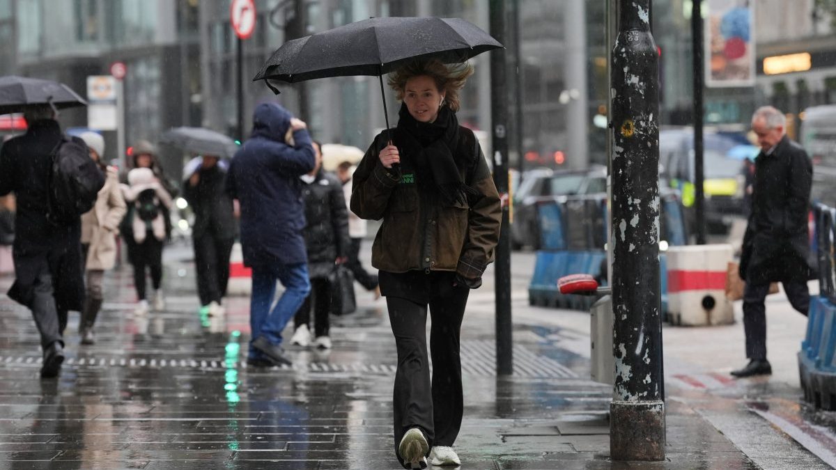
Flood warnings have been issued across multiple areas of England as a mix of autumnal weather is set to bring rain, storms and sunshine over the next week. Temperatures are forecast to rise over the coming week while wind from the northwest will bring showers particularly in northern and coastal areas on Saturday. The week will see a “changeable but mild spell of weather” Greg Dewhurst, senior operational meteorologist at the Met Office told The i Paper, as Atlantic weather systems bring rain and strong winds. Over the weekend, forecasts suggest high pressure and Atlantic air will result in cooler conditions, with the possibility of overnight frost. Sunday is likely to be bright and sunny with rain spreading into the southwest in the afternoon and strong winds hitting western coastal areas. The Environment Agency has issued 10 flood alerts across areas of Norfolk, Suffolk and Essex. This is due to strong winds and high tides in coastal areas, which could see seafronts such as those near Clacton and King’s Lynn at risk of flooding over the weekend. Gusts of 35-45mph along the coast are likely added Dewhurst, adding that no wind warnings have been issued by the Met Office. Unsettled and windy weather will continue into the week, with low pressure in the northwest bringing coastal gales on Monday night. Dewhurst added: “Despite the gloomy conditions, temperatures will remain mild and generally above average.“Low cloud is likely to be widespread, although rainfall will generally be light and patchy. A more organised band of rain is expected to arrive in Northern Ireland and western Scotland later in the day.” Temperatures are expected to rise on Tuesday, possibly reaching a high of 21 degrees Celsius in parts of England and Wales – above above the October average of around 14-17 degrees. “Tuesday sees a more active weather system move across the country,” said Dewhurst. While brighter conditions are expected in some areas of the country, Scotland and Northern Ireland in particular may see heavy and thundery rainfall with a risk of severe gales. While northern and western areas of the UK are expected to see heavy winds and rainfall for the remainder of the week, parts of England and Wales may see lengthy drier periods, including in regions already impacted by severe drought. Despite the rain expected for parts of the country, a drought was declared in Yorkshire on Friday after months of dry weather, resulting in low water levels in rivers and reservoirs and a drop in groundwater levels. Water minister Emma Hardy said: “The recent rainfall is not yet enough to replenish all the water we’ve used over the spring and summer, and the Yorkshire drought declaration highlights the situation is still serious.” Parts of Scotland and Northumberland could see snow at the end of the week, with some forecasts pointing to snowfall of 4mm per hour on higher ground and peaks. Will El Niño affect the UK? The changeable weather comes amid fears this year’s Super El Niño could cause an increase in severe weather, including a cold and icy spell across the winter. El Niño is a natural climate climate pattern that causes a movement in warm weather across the Pacific ocean every two to seven years. Usually winds blow from east to west, but during El Niño, these reverse, causing hotter and drier condition for parts of South American, south-east Asia and Australia. This year’s event, the largest since the 19th century, threatens to cause severe weather events around the world with climates scientists predicting 450,000 people could die due to it. “A strong El Niño does not automatically translate into severe weather impacts for the UK, and no single weather event can be attributed to El Niño alone,” said Dewhurst. “Other atmospheric and oceanic factors will continue to play an important role in determining conditions over the coming months,” he added. “The exact impacts depend on how El Niño interacts with other climate drivers, as well as local weather patterns and climate change.” On Friday, Met Office spokesperson Nicola Maxey told The i Paper that El Niño is more likely to bring wet and windy conditions than snow. “Based on previous El Niño events, there is an increased likelihood of wetter and stormier conditions across the UK during late autumn and early winter,” said Dewhurst. “Later in the season, there is increased risk of drier, cooler and more settled conditions.”
Flood alerts issued as Atlantic weather front to bring 45mph winds
Full Article
Original Source
Read the full article at Inews →KhanList aggregates and links to publicly available news content. We do not host full articles from third-party sources. Always verify important information with original sources.