
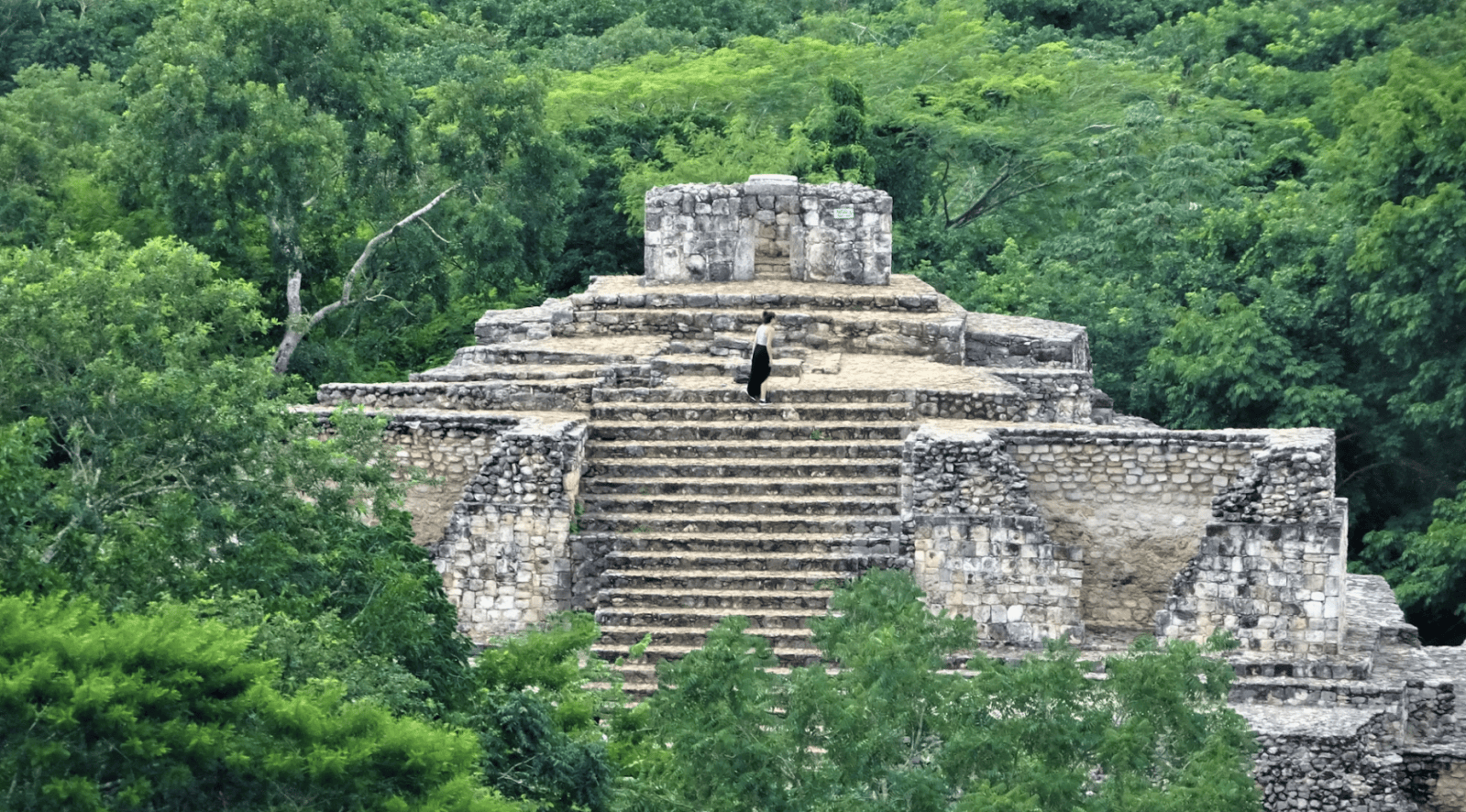
Most great archaeological discoveries involve years of fieldwork, dense jungle, and a lot of digging. This one involved a guy clicking through page after page of Google results, the kind of Internet rabbit hole most of us only tumble into when we’re bored at home. Luke Auld-Thomas, then a PhD student at Tulane University, was deep in a search when he found it. “I was on something like page 16 of Google search and found a laser survey done by a Mexican organization for environmental monitoring,” he told the BBC in 2024. That laser survey turned out to contain an entire ancient Maya city, hidden under forest cover for centuries. Aerial view of ancient ruins in Tulum. Photo credit: Dronepicr/Wikimedia Commons The survey used LiDAR, a mapping technique that fires laser pulses from an aircraft to measure distances to the ground. When you strip away the tree canopy from the data, you can see what’s underneath: in this case, pyramids, causeways, ball courts, and thousands of other structures in the southeastern Mexican state of Campeche. The organization that originally collected the data was monitoring the environment. They had no idea they’d flown over a lost city. Auld-Thomas and a fellow archaeologist named it Valeriana, after a nearby lagoon. Welcome to a lost Mayan metropolis The numbers are staggering. The city is thought to have housed an estimated 30,000 to 50,000 people at its peak, between roughly 750 and 850 AD. Its density may rank second only to Calakmul, one of the largest known Mayan cities. Researchers believe Valeriana may have served as a capital. Professor Marcello Canuto, a co-author on the research study and an anthropology professor at Tulane, said the discovery challenges a long-standing Western assumption that tropical regions were places “where civilization went to die.” The opposite appears to be true. These environments were densely settled, intensely developed, and home to sophisticated urban centers. In the area the team mapped, they identified more than 6,500 apparent structures. The find is part of a broader revolution in archaeology. LiDAR has been quietly rewriting what we know about ancient civilizations for over a decade. A 2013 study used the same technique to reveal massive urban networks around Angkor in Cambodia. In 2018, researchers used it to find more than 60,000 structures in the Guatemalan jungle. The technology lets archaeologists “digitally deforest” landscapes that would take lifetimes to survey on foot. A discovery hiding in plain sight What makes Valeriana striking is that nobody had to go anywhere to find it. The data had already been collected. It was just sitting in a file online, waiting for someone curious enough to click to page 16. Canuto noted that there are no actual photographs of Valeriana, only LiDAR maps, because no one has visited the site in person yet. As far as has been reported, the city remains swallowed by forest, traced only in laser points on a researcher’s screen, though researchers say they plan further fieldwork. “The point is that the landscape is definitely settled, that is, settled in the past, and not, as it appears to the naked eye, uninhabited or ‘wild,’” said Professor Elizabeth Graham of University College London. There’s likely more out there Canuto said in 2024 that he hopes for more funding and more drone-based mapping in the coming years. “It would be wonderful over the next 10, 20 years,” he said. “We should have double the amount of ground covered in LiDAR.” This means there are almost certainly more Valerianas out there hidden in plain sight, waiting for the next bored grad student to scroll far enough. This article originally appeared in May. It has been updated.
Archaeology student found a lost Maya city on page 16 of a Google search
Full Article
Original Source
Read the full article at Upworthy →KhanList aggregates and links to publicly available news content. We do not host full articles from third-party sources. Always verify important information with original sources.