
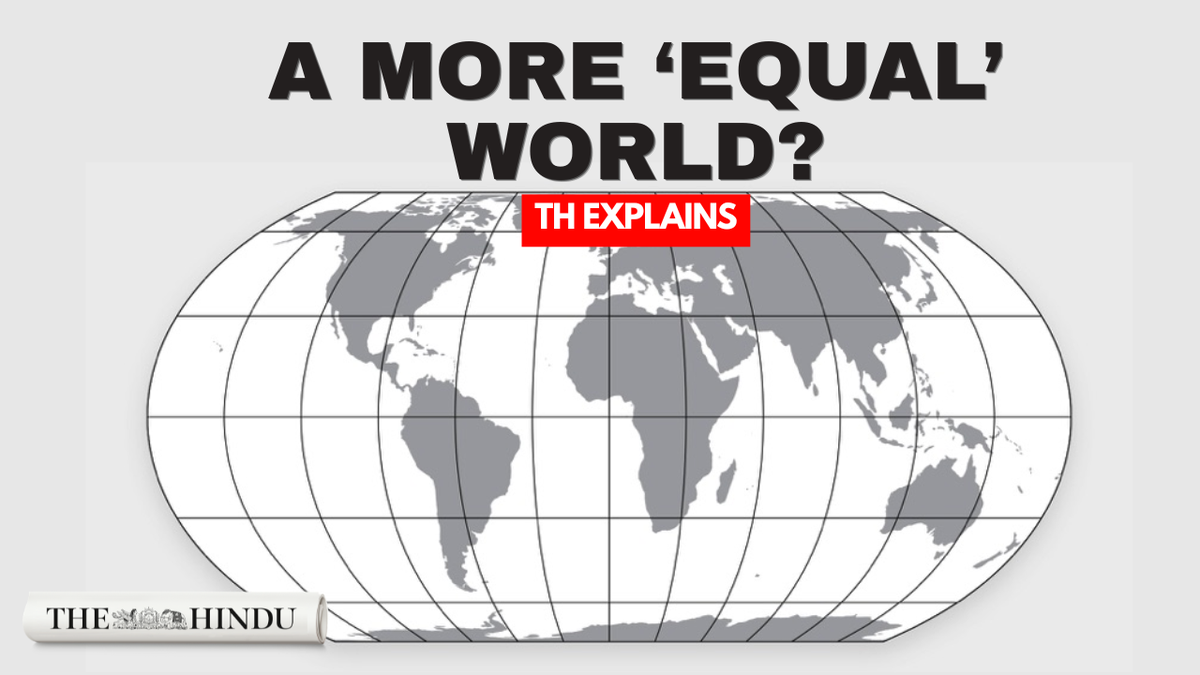
The United Nations General Assembly has adopted a resolution encouraging the use of world maps that represent the relative size of landmasses more accurately. Backed by 164 countries, the “Correct the Map” resolution draws attention to distortions in the widely used Mercator projection, particularly its representation of Africa. Here’s why familiar world maps distort size, how the Equal Earth projection differs, and what the UN resolution could mean for the maps we use.Updated - September 07, 2026 09:16 pm IST
Why the UN wants to change the world map?
Full Article
Original Source
Read the full article at Thehindu →KhanList aggregates and links to publicly available news content. We do not host full articles from third-party sources. Always verify important information with original sources.