
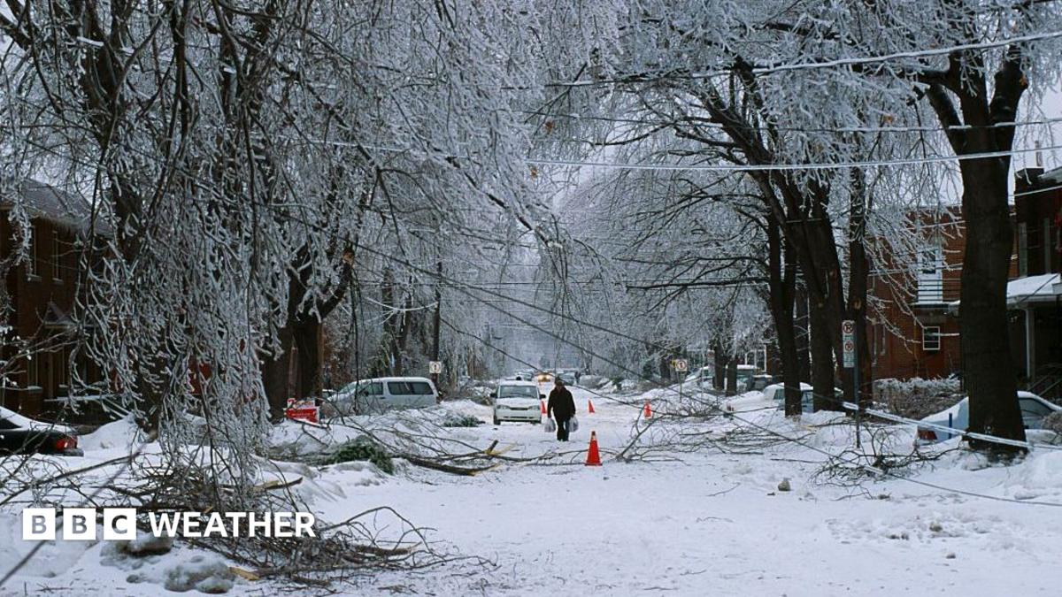
Image source, Christopher J. Morris/Corbis via Getty ImagesImage caption, Montreal, Canada was badly hit by the Great Ice Storm of 1998 which was blamed, in part, on El Niño.ByBen RichLead Weather PresenterThe developing El Niño - already the strongest on record by some measures - continues to grow and could have profound effects on the weather across North America this autumn and winter.The naturally-occurring climate phenomenon sees trade winds over the Pacific Ocean, which usually blow from east to west, weakening or reversing with warm water instead spreading eastwards.This releases heat into the atmosphere which can drive major shifts in global weather patterns.Impacts in the US and Canada are varied, with a greater chance of a warm and dry winter in northern areas and more risk of flooding rain further south.There is also some evidence that El Niño can increase the likelihood of disruption to the stratospheric polar vortex which can, in turn, bring snowfall later in winter.No two El Niños are the same and the impacts are not guaranteed - the odds are just shifted in favour of certain outcomes.Wet in the southThe eastward shift of warm ocean waters associated with El Niño can cause the Pacific jet stream to move south and extend eastwards, directing rain-bearing weather systems across the southern USA.This typically leads to wetter winters during El Niño years.Image source, BBC / NOAAImage caption, The likely impacts of El Niño on winter weather vary across different parts of North America.The latest three month forecast, external from the US National Weather Service (NWS) suggests this is a likely outcome for the winter of 2026-2027.South-eastern states, including Florida, Georgia and the Carolinas, have the greatest chance of seeing above-average rainfall.The El Niño winter of 1997-1998 brought significant flooding in the south-east and spun up tornadoes for Florida.Risk of west coast floodsImage source, Caroline Brehman/EPA-EFE/REX/ShutterstockImage caption, Severe flooding hit Long Beach, California in February 2024.California could well find itself in the firing line with forecasts suggesting a wet winter is likely. Governor Gavin Newsom has already declared a state of emergency, external ahead of anticipated floods and mudslides.Areas scarred by recent wildfires are particularly susceptible, with the effects of climate change exacerbating the risks.Many past El Niños have been wet here, with winter 2023-2024 bringing relief from drought. However this is not always the case. In the strong El Niño of 2015-2016, California actually had below-average rainfall.Coastal erosion and large waves could be worsened by a rise in the overall sea level driven by so-called Kelvin waves.This is where ocean water which sloshes eastwards across the Pacific due to El Niño reaches the west coast of the Americas, where it can travel no further.It causes a large-scale wave which then spreads along the coast over a period of weeks and months, raising sea levels by 15cm (6in) or more.Dry and warm further northThe shift of the Pacific jet stream generally leads to warmer and milder winters in the north-west USA, Northern Plains and Ohio Valley - as well as western and central Canada.This lessens the risk of flooding, but reduced rainfall can leave groundwater and river levels low, fuelling drought and wildfires in spring and summer.Ski resorts can also suffer from a lack of snow.Long-range predictions suggest a dry, warm winter is more likely than usual this year.However, El Niño does not guarantee this. For instance, the winters of 1982-1983 and 2015-2016 were wetter than normal in the north-west USA.Mixed news for snow loversIn much of the northern USA, and large swathes of Canada, a greater chance of dry and warm weather makes snow less likely.Further south, however, above-average precipitation typically leads to big snowfalls in the Californian mountains and southern Rockies - good news for water stocks.It can also increase the probability of snow at lower levels in the southern and eastern USA - but only if enough cold air is in the mix.The area around Washington DC often receives more snowfall than usual in an El Niño winter - but not always.Image source, Mandel Ngan/AFP via Getty ImagesImage caption, Snowfall caused chaos in Washington DC in February 2010.The winter of 2009-2010 delivered record-breaking snowfall that brought the city to a standstill, while widespread blizzards affected much of the US east coast in 2016.However, some of Washington DC's least snowy winters have also occurred during El Niño events, including 1972-1973 and 1997-1998 which brought just 0.1in (0.25cm) of snow.Higher winter temperatures in eastern Canada and the north-east USA can mean precipitation that might normally fall as snow gives rain instead.This can increase the chance of freezing rain events, with the so-called Great Ice Storm of 1998, external being blamed partly on the effects of El Niño.It is worth saying that snowfall amounts are decreasing overall in most places due to human-induced climate change, meaning predicting the impact of El Niño is even more complex.What about the polar vortex?An added complication is the possible impact of El Niño on the polar vortex, a ring of strong winds that circles the North Pole in winter, around 10-30 miles (16-48km) up in the stratosphere.It holds cold, dense air in place above the Arctic but sometimes it can weaken and disrupt, and there is some evidence that the energy released into the atmosphere by El Niño makes this more likely.Disruptions to the polar vortex sometimes ripple down through the atmosphere, weakening the polar jet stream and opening the door for cold air to spill across Canada and the USA.However this does not always occur and the links are far from clear.More on this story
What could El Niño mean for winter weather in the US and Canada?
Full Article
Original Source
Read the full article at Bbc →KhanList aggregates and links to publicly available news content. We do not host full articles from third-party sources. Always verify important information with original sources.