
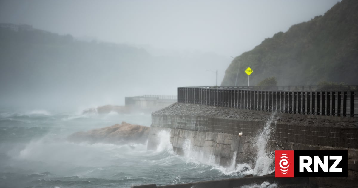
MetService's wind watch for the Wellington area has a moderate chance of being upgraded to a warning, ahead of expected 100km/h gusts.The weather agency issued a wind watch for Wellington and Marlborough Sounds from 9pm on Wednesday until 4am on Thursday.MetService meteorologist Dom Barry said a front was moving up the South Island, towards the Cook Strait where winds tended to be "squeezed", creating gale force winds."And in this occasion, that squeeze is a little stronger than what your average Wellington day might turn out to be," he explained.He said winds were expected to be worst about 9pm or 10pm this evening, moving up from northern parts of the Marlborough Sounds towards Wellington and up the Kapiti Coast.He advised people to keep an eye on forecasts as the watch had a "moderate chance" of being upgraded to a warning.Fellow MetService meteorologist John Law said it was the "first severe wind watch through the capital for a fair while"."We had a few warnings through September, but it has been a relatively quiet spell."He said spring in the capital was generally characterised by blustery conditions."It's not unusual during springtime to find gusts of wind to 110, 120 kilometres an hour in exposed areas through parts of the Wellington region."Law said there had been large areas of high pressure around Wellington, leading to calmer conditions, occasionally interspersed with more blustery conditions."It's all to do with where those systems are. So just a few 100 kilometres either to the east or west, we might just find ourselves on the wrong side of the high pressure to run through."He said spring was a "volatile time" when weather could change rapidly in terms of temperature and wind speed.
Wellington gets its wind back
Full Article
Original Source
Read the full article at Rnz →KhanList aggregates and links to publicly available news content. We do not host full articles from third-party sources. Always verify important information with original sources.