
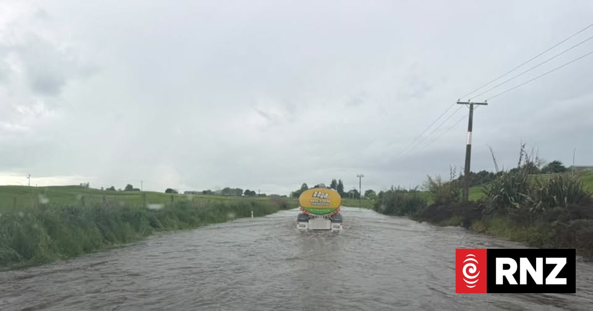
Severe weather hit parts of the North Island on Wednesday after multiple red weather warnings were issued throughout the afternoon.Several people had to be rescued after attempting to drive through floodwater in the Waikato, amid thunderstorm warnings.Emergency services were Waotu Rd, Wiltsdown Rd, and Old Taupo Rd in Waikato on after reports of vehicles becoming stuck because of floodwaters.Both police and Fire and Emergency New Zealand were called to the area at 3.30pm.Police closed Old Taupo Rd northwest of Tokoroa and asked people to avoid the area.While warnings have since lifted, a severe thunderstorm watch is still in effect for areas including Auckland, Coromandel Peninsula, Waikato, Taupō and Bay of Plenty until 7.30pm."For eastern Auckland, inland parts of Waikato, inland parts of Bay of Plenty west of Te Puke including Rotorua and northern Taupo, there is a moderate risk of severe thunderstorms with localised downpours of 25-40 mm per hour," MetService said.In the South Island, a severe thunderstorm watch is in effect for Dunedin, Clutha, and Southland. It applies until 7pm on Wednesday."For southern Southland, and inland parts of Clutha and Dunedin, there is a moderate risk of severe thunderstorms with localised downpours of 25-40 mm per hour," MetService said."We've still got this band of rainfall across the eastern side, and as we head through the afternoon we'll find the return of more showers, some heavy and thundery," meteorologist John Law said.Down south, a heavy rain watch also applies for the ranges of Westland District near Mt Cook until 9pm on Wednesday.
Weather: Severe thunderstorm warning for parts of North Island, torrential rain and hail possible
Full Article
Original Source
Read the full article at Rnz →KhanList aggregates and links to publicly available news content. We do not host full articles from third-party sources. Always verify important information with original sources.