
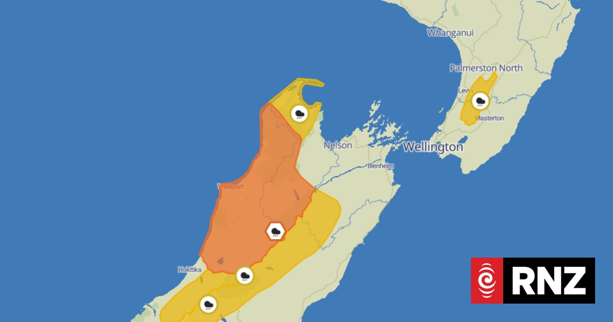
The upper South Island is bracing for another lashing of heavy rain, with up to 200 millimetres expected in the ranges.MetService says a large trough will move onto central New Zealand during Sunday and early Monday, bringing heavy rain and possible snow to mountain passes in the South Island.An orange-level warning is in place for Grey and Buller Districts, as well as Nelson Lakes, from 6am Sunday till 3am Monday.MetService says residents should expect 140-200mm of rain about the ranges, and 60-90mm elsewhere, with peak intensities of 15-25mm an hour on Sunday afternoon and evening.It says there is a minimal chance of the warning being upgraded to red, but is urging people to avoid low-lying areas."Streams and rivers may rise rapidly. Surface flooding, slips, and difficult driving conditions possible."A road snowfall warning has been issued for Lindis Pass on State Highway 8, from 10am to 4pm Sunday."Up to 1cm could accumulate above 900 metres."Heavy rain watches are also in place until 6am Monday for the Canterbury High Country north of Mt Cook, and Southwestern Marlborough.Watches will come into force for the Westland ranges north of Mt Cook at 10am, Tasman District northwest of Takaka Hill at midday, and Tararua Range from 6pm.MetService all have a moderate chance of being upgraded to warnings.Meanwhile, Auckland Airport had fog restrictions in place on Sunday morning.Flights have not yet been affected but passengers are advised to check the airport's website for the latest information.
Weather: Rain warnings and watches for upper South Island
Full Article
Original Source
Read the full article at Rnz →KhanList aggregates and links to publicly available news content. We do not host full articles from third-party sources. Always verify important information with original sources.