
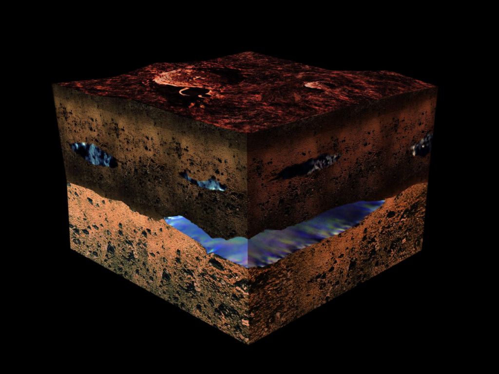
Knowing a planet's surface and subsurface structure is vital when planning robotic and crewed missions to explore it. Before landers, rovers, or crew modules reach the surface, astronauts and mission controllers need to know what they will be landing on. For rovers with a limited energy budget, it's also crucial that they can determine how far rough, rocky terrain extends beneath the surface. That way, they won't waste time and energy trying to clear obstacles they can't possibly move. In short, scientists and astronauts need to know what's on a planet's surface (and beneath it) before they attempt to land there and conduct science operations. Thanks to a team from Virginia Polytechnic Institute and State University (Virginia Tech), scientists could soon have a new set of tools that will allow robotic missions to make these determinations autonomously. These AI-powered tools measure vibrations in surface terrain to determine what lies beneath and how deep structures extend. The study was led by Yiyan Ruan, a Ph.D. candidate at Virginia Tech, and Erik Komendera, an assistant professor of mechanical engineering (and Ruan's advisor) who once worked as a researcher at NASA's Langley Research Center. The paper detailing their findings was published in IEEE Sensors Journal. The tools they have developed could have profound applications for both space exploration and life on Earth. View generated from the digital terrain model and the nadir and color channels of the High Resolution Stereo Camera on ESA's Mars Express. Credit: ESA/DLR/FU Berlin As they indicate in their paper, estimating the burial depth of partially embedded rocks is a key capability for energy-limited robotic excavation. When obstacles like rock formations are in the way, mission teams need to know how deep the rock extends so they can decide whether to remove the obstacle or avoid it. Ruan and Komendera's solution leverages AI to interpret vibrational data, allowing robots to make those decisions autonomously. As Komendera said in a Virginia Tech press release: For as long as humans have built things on Earth, we have had to deal with large and heavy obstacles that cannot simply be ignored or scooped out of the way without careful planning. It's easy enough for us to just look at rocks and make some quick, testable judgments. Is this rock resting or partially buried? Can I move this alone or do I need help and tools? But what if robots need to do this? How can robots make those judgments? Now we have an answer. To test their approach, their team buried 18 concrete blocks of different shapes and sizes in sand at different depths. They then struck the exposed portions of the blocks with an instrumented hammer and remotely measured the vibrations using a device known as a Laser Doppler Vibrometer (LDV). The results were then input into a Multilayer Perceptron (MLP), a type of neural network that learns to identify complex, non-linear patterns from data. Their MLP mapped 11 measurable features to identify the relationship between impulse excitation, exposed rock geometry, and burial depth. Given the range of factors to consider, the task was rather complex. But by teaching their AI to account for them, Ruan and Komendera created models that could reliably determine the blocks' depth. When the future rovers set down on Mars, they could determine rock depth and obstacle clearance autonomously. Credit: NASA/JPL "Estimating how deep a rock is buried using vibrations can be tricky," said Ruan. "The feedback is affected by the rock's geometry and the way the soil holds it. By carefully selecting features from vibration measurements and exposed geometry, we were able to produce reliable data using a compact neural network with just two hidden layers." These models could help robotic missions excavate subsurface rocks, caches of water ice, and remove obstacles along their travel routes. In the meantime, the team plans to keep building datasets and testing their approach for applications on Earth, such as analyzing construction sites and natural disasters to locate where potentially hazardous materials are buried. They could also be used to study unstable rock formations and underground caverns, assisting with resource and construction planning, and advancing exploration of Earth's subsurface. Further Reading: Virginia Tech, IEEE Sensors Journal
Using Vibrations and AI, Future Robotic Missions Could Handle Buried Rocks Autonomously
Full Article
Original Source
Read the full article at Universetoday →KhanList aggregates and links to publicly available news content. We do not host full articles from third-party sources. Always verify important information with original sources.