
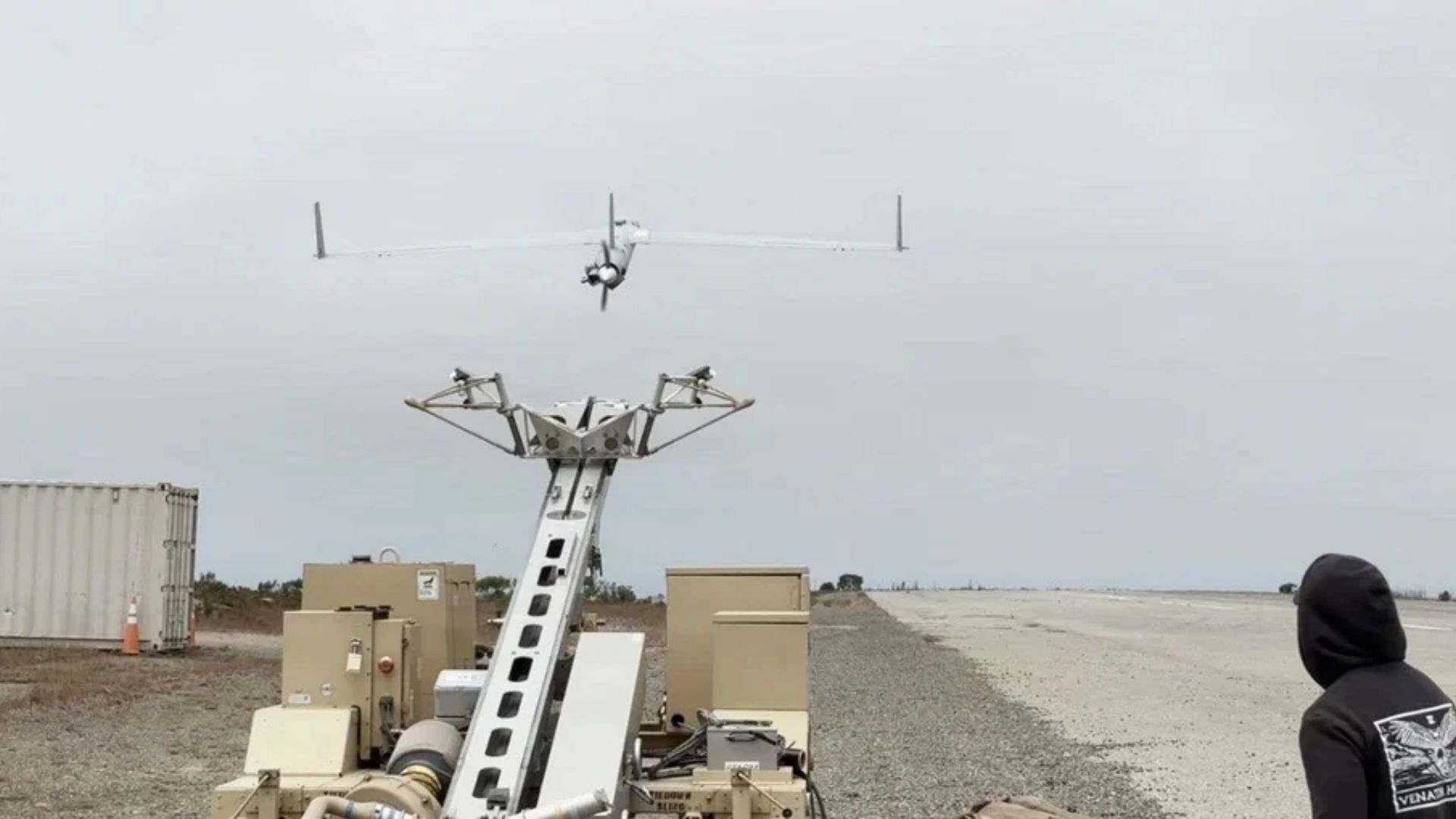
The US Navy has tested a camera-based navigation system that allows drones to fly without relying on GPS signals. A ScanEagle unmanned aerial vehicle (UAV) completed a six-hour flight over open ocean near Southern California, navigating to designated waypoints using cameras and motion sensors. Developed by California-based Rhoman Aerospace in collaboration with the Naval Postgraduate School, the system was tested in a simulated GPS-denied environment with satellite navigation and ground links switched off According to the team, the drone maintained closed-loop flight with less than 0.5 percent position drift relative to the distance traveled. The new technology combines visual-inertial odometry (VIO), onboard cameras, motion sensors, and flight telemetry to estimate an aircraft’s position and movement. The system was tested aboard a ScanEagle drone near San Clemente Island, off Southern California, where it completed a six-hour flight with satellite navigation and ground communication links disabled. The trials demonstrated how sensor fusion and onboard autonomy could help drones maintain their flight paths in environments where GPS signals are jammed, spoofed, or unavailable. Conventional visual navigation systems work by identifying recognizable features in the terrain below an aircraft and using them as reference points to calculate its geographical position. Cameras continuously capture images of the surrounding environment, while image-processing algorithms identify and track distinct visual features. These observations are combined with information from inertial sensors, including accelerometers and gyroscopes, which measure changes in the aircraft’s movement and orientation. With visual position estimates, and motion measurements, the system can calculate its trajectory without receiving satellite navigation signals. Smarter maritime navigation Researchers noted that applying the conventional approach over open water presents a different technical challenge. Unlike land environments, oceans lack permanent visual landmarks that cameras can reliably identify and track. Waves, changing light conditions, and the constantly moving water surface make it difficult for conventional visual-inertial odometry algorithms to establish consistent reference points. To address this problem, Rhoman adapted its VIO technology with sensor-fusion methods designed specifically for maritime environments. The system combines camera observations with onboard sensor measurements and aircraft telemetry to generate navigation estimates. It can also operate with or without preloaded terrain maps. The navigation technology pairs with the Naval Postgraduate School’s CAVR autonomy architecture to provide onboard flight control. This system processes data from the sensor-fusion setup to keep the aircraft on its assigned path. When GPS signals or ground communications drop out, the architecture automatically takes over to ensure the drone completes its mission without needing continuous commands from a remote operator. During the trials near San Clemente Island, the ScanEagle flew several miles offshore and followed flight profiles involving different patterns and altitudes. Researchers simulated the loss of satellite navigation and ground communication links to evaluate the system’s ability to maintain autonomous flight. The aircraft completed six hours of operations and successfully reached its designated waypoints. The reported navigation drift remained below 0.5 percent of the distance flown. According to the team, the technology is designed to be platform-agnostic rather than limited to the ScanEagle. The next development phase will integrate it with AeroVironment’s JUMP 20 vertical takeoff and landing UAV. Future testing will expand the aircraft’s flight envelope and examine how atmospheric conditions and changes in the ocean surface affect navigation performance. Researchers note that by combining camera-based positioning, inertial sensing, and onboard autonomy, the system could provide UAVs with an alternative navigation method in GPS-denied environments. Get the latest in engineering, tech, space & science - delivered daily to your inbox.Jijo is an automotive and business journalist based in India. Armed with a BA in History (Honors) from St. Stephen's College, Delhi University, and a PG diploma in Journalism from the Indian Institute of Mass Communication, Delhi, he has worked for news agencies, national newspapers, and automotive magazines. In his spare time, he likes to go off-roading, engage in political discourse, travel, and teach languages.
US Navy tests GPS-free camera navigation system on ScanEagle drone over open ocean
Full Article
Original Source
Read the full article at Interestingengineering →KhanList aggregates and links to publicly available news content. We do not host full articles from third-party sources. Always verify important information with original sources.