
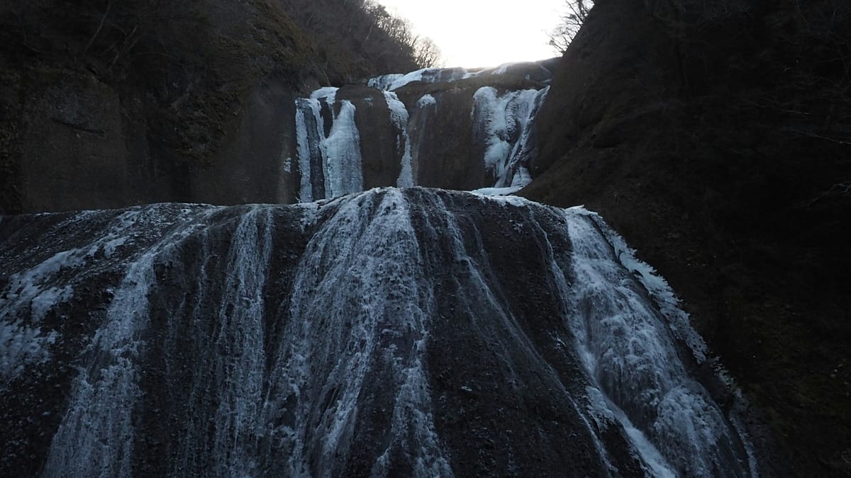
If you’re heading to Japan for an active holiday you should lace up your walking boots and tackle a 320km-long hiking trail that is now fully open. ADVERTISEMENT ADVERTISEMENT The Hitachinokuni Long Trail, Japan’s longest loop trail, has been in the works for seven years since first announced in 2019 by the Ibaraki Prefecture and the Hitachi Province Trail Club. Now having opened in September, the hiking destination links six cities and towns across the northern Ibaraki Prefecture, less than a two-hour train ride away from Tokyo. Connecting Kitaibaraki, Takahagi, Hitachi, Hitachi Ota, Hitachi Omiya and Daigo, the route takes hikers through landscapes known as “satoyama”, which are rural spaces where communities have lived alongside mountains, meadows, ponds and rice fields. The trail is not high in elevation, nor easily impacted by heavy snowfall due to its geography, making it an experience that can be enjoyed year-round. However, there aren’t many refuelling points, while some areas are rocky and others include steep slopes. Where to start? Due to its design, hikers can choose where to tackle the circular trail, which is roughly divided into five areas. The Central Area is one of the more challenging sections of the trail, featuring continuous steep ascents and descents for especially skilled hikers. Located in the Yazimo mountain range, on the northern edge of the Japanese town of Daigo, the Central Area rewards hikers with views including the Fukuroda Falls, the rocky peaks of Okukuji Nantaiyama as well as the Ryujinkyo Gorge valley. The Northeastern portion of the trail covers mountains, like the high peaks of Eizomuro and Hanazono Yama, as well as coastal destinations, including the Kohama and Sasaki beaches. The area also takes hikers through history, including the Salt Road, which is an ancient trade route, and the Jikkoku Canal, which has been in use dating back to the Edo period from 1603 to 1868. Within the Southeastern area, which first opened in 2024, the hike begins at Hananuki Valley with a climb up Mount Tsuchidake, which offers sweeping views of the surrounding scenery. The area is also marked by waterfalls, historic sites like the Kitadaimon Castle ruins before ending at the Kuji River. The Southwest area is in Hitachiomiya City and takes hikers through mountains that are home to diverse flora and fauna, including Iwauchiwa flowering plants. This area also features a once thriving gold mining region. Mt. Yamizo is just one of the stops along the Northwest area. Here, visitors can explore sacred sites steeped in history, such as the Yamizomine Shrine, which is thought to date as far back as the 1st century. At the summit of the mountain, there is also a castle-shaped observation deck that offers panoramic views of Fukushima and Tochigi's mountains.
This new Japanese walking trail connects six cities across 320 kilometres
Full Article
Original Source
Read the full article at Euronews →KhanList aggregates and links to publicly available news content. We do not host full articles from third-party sources. Always verify important information with original sources.