
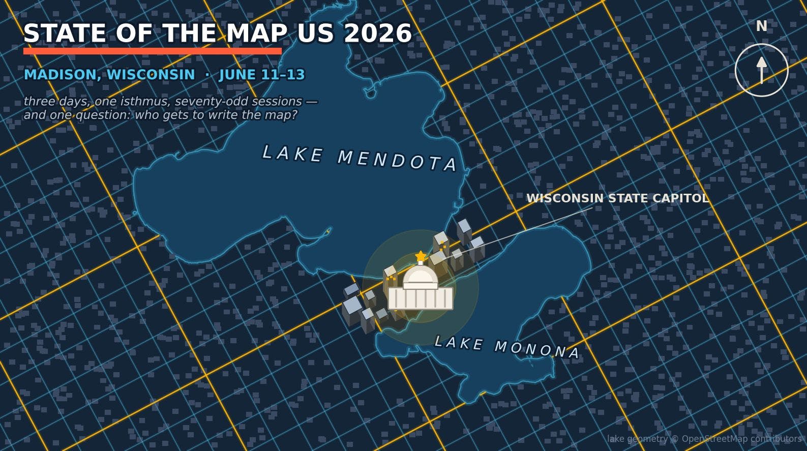
Three days at the mappiest event of the year surfaced the trends redefining geospatial engineering: serverless map stacks, AI-drafted data, and human-in-the-loop authorship at planet scale. From June 11 to 13, Madison, Wisconsin was the center of the mapping universe. Leading geospatial companies and independent mappers packed a hotel a block from the State Capitol for State of the Map US 2026, the annual conference of the OpenStreetMap US community. On Friday morning the whole conference walked outside and posed for a group photo on the Capitol steps. I was there to give a lightning talk about map tiles. More on that later. I came home with a much bigger story in my notes. A few months ago, I wrote about how open source quietly became the default infrastructure of digital maps. Madison showed where that stack is heading next. Three trends dominated the program. Map pipelines are shedding their databases and tile servers, replacing them with columnar files on object storage and parallel build steps. AI agents are drafting map data at industrial volume, from dashcam detections and satellite-derived geometry to automated validation of contributions. And the fastest-growing part of the map, the sidewalks, crossings, and curbs, is still drawn by hand, a deliberate choice the community defends. One rule ties the three together, and the rest of this piece is really the story of how it held up across three days in Madison. The agent drafts, a human approves. Redesigning Maps for AI Sean Gorman captured the year's central question in his talk title, "Embedding Tiles: Should We Be Structuring Open Map Data for AI?" For twenty years, OpenStreetMap has been organized for people. Tags a human can read, geometry a renderer can draw. Gorman's argument is that models now consume the map too, and a tile designed for a language model looks different from a tile designed for a screen. Embeddings, not pixels. Jeremy Herzog carried the same thinking into practice with "How We Prepared HIFLD for the Singularity," a playful title for a pragmatic talk on restructuring a critical infrastructure dataset so AI systems can consume it well. Sessions like these set the tone for the weekend. The community welcomed AI as the map's newest reader and got straight to work on the design questions that follow, from data formats to quality guardrails. The drafting layer is getting crowded Machine drafting and detection of map features were showcased across the program. Adrian Margin showed KartaDashcam, an edge AI dashcam that detects map features while the car is still moving, so mapping happens as a side effect of driving. Harald Kliems reported on the Mapillary camera grant program, which is putting street-level cameras in the hands of local mappers across the US and feeding the imagery that machine detection pipelines eat. Aditya Sridhar's lightning talk went furthest. He proposed AI agents for high-volume ground truth validation, machines checking work at a scale no human team could match. Count in the older pipelines too, the machine-learned building footprints and the road suggestions in the Rapid editor. The drafting layer of open mapping is industrializing fast, and most of the new drafters are not human. Approval is the product Outside the geospatial mapping community, model output is often mistaken for the finished map. In OpenStreetMap, none of it reaches the map directly. Machine learning has produced billions of building footprints, yet the project still requires a person to confirm every edit. There are no bulk imports of raw model output. The rule held before the agents arrived, and Madison showed the community doubling down on it rather than relaxing it. The loop. AI drafts, task queues stage the work, humans approve, the map ships, and quality signals feed back to the models. Three talks made the case from three directions. Rob Savoye's "Why Ground-Truthing is Important" was the bluntest. Imagery lies, models hallucinate, and the only unimpeachable source is a person standing at the feature. Nat Henry asked "What Is Real?" and answered it with statistics, estimating the fidelity of OSM data from its changeset history, an audit trail most commercial datasets simply do not have. Gopi Malathi's "The Social Life of Data Quality in OSM" reframed quality as a social process rather than a metric. A correct map is a byproduct of a healthy community arguing about it. That loop inverts the usual AI anxiety. AI did not displace the humans in open mapping. It promoted them. The routine labor of tracing building outlines now belongs to machines, and the scarce act is human judgment, the call to accept, fix, or reject. The Dictionary of the Map Is Crowd-Written AI can detect and propose map edits at scale, but it cannot decide what belongs on the map or how to describe it. That part is defined by the collaborative open source community, in public, one working group at a time. The clearest example in Madison was pedestrian mapping. Jacob Hall and Amy Bordenave launched PWG 1.0, the Pedestrian Working Group's first schema and guide, a shared standard that defines how sidewalks, crossings, and curbs are mapped and which attributes make them useful. Bordenave also showed OpenSidewalks data working as a reference layer in the Rapid editor. Sam Yasen demoed a walksheds tool for scoring pedestrian access. A Madison team measured the bikeability of schools, and Julio May scored micromobility feasibility. State of the Map US 2026 by the numbers. Sessions per theme, with community, education, and history leading at 13 and AI, imagery, and data quality following at 9. A sidewalk under tree cover is invisible from space, and a curb cut is a few pixels on the best imagery money can buy. These are exactly the features wheelchair routing, walking directions, and delivery robots need, and the ones imagery models keep failing on. That is why the same mappers who handed building outlines to machines are still drawing crossings and curbs by hand. The data AI needs most is the data only ground truth can supply. OSM now holds more than fifty million pedestrian ways. The count is still climbing, and the curve is mostly hand drawn. That hand-drawn data does not stay in a volunteer database, either. Companies routing deliveries and rides consume it in production, and a few of them came to Madison to explain how. Big tech showed up, and paid rent Amazon's chapter of that story was mine to tell. In a well-received talk, I walked through how we generate map tiles for last-mile delivery using OSM-derived datasets and Planetiler, the open source tile engine. The short version is that we deprecated the spatial database. Apache Sedona joins OpenStreetMap themes, Overture Maps, and Natural Earth into partitioned GeoParquet files on object storage, and Planetiler renders each partition in memory, in parallel, on ordinary machines. A worldwide build that took 31 hours now finishes in about an hour. The PostGIS tier that cost thousands of dollars a month is gone. When a driver flags a wrong gate, the corrected tile reaches every device in the field within an hour. A lightning talk is not a product launch, but the point is simple. Every piece of that pipeline is open source, and the same architecture scales down to one laptop. Left, the author giving the Amazon lightning talk. Right, the conference group photo on the Wisconsin State Capitol steps. Photos by Clint Thayer for OpenStreetMap US, public domain (CC0). The pattern. Open-source datasets merged by Spark and Sedona into GeoParquet on object storage, rendered in parallel by Planetiler, served without a tile server. Amazon was not the only company in the room, and the tone of the corporate talks was striking. Lyft's session was literally titled "Mapping with Restraint." It covered which features to take from OSM at ride-share scale, which to give back, and when not to touch the map at all. Lane Becker brought hard-won lessons from Wikimedia Enterprise on serving large commercial reusers without corroding the volunteer project underneath, and he warned the room to study that playbook before AI-scale API demand shows up at OSM's door. Meta's Mapillary grants put cameras in mappers' hands. The era of extract-and-run seems to be ending, partly because companies learned that sustaining the commons is far more cost effective than rebuilding it in-house. The part no model can draft The talk I keep thinking about had no AI in it at all. Gareth Baldrica-Franklin's Saturday keynote told the story of mapping Teejop, the Ho-Chunk name for Madison's four-lakes region, and what it means when the map itself has already overwritten a landscape's names. Emily Jacobi's session on data sovereignty and Indigenous toponyms pressed the same question from a political angle. Who decides what a place is called, and who owns the answer? The community is also training its successors. YouthMappers celebrated ten years and a generation of student mappers, TeenMaptivists brought high schoolers running their own open mapping projects, and the Saturday closing session was handed to a slate of first-time speakers. A model can draft geometry. It cannot decide that a lake's oldest name belongs on the map, and it cannot raise the next generation of people who care. Where the map goes from here Put the three trends side by side and a quiet theme appears. The tile stack went serverless, which put a planet-scale map within reach of anyone who wants to build and ship one. The drafting went to machines, which expanded map data coverage at a pace no volunteer effort could match. And authorship stayed human, which is what keeps that data trustworthy. Cost-optimized map data infrastructure, machine-drafted supply, and human-signed trust make up the architecture of open mapping in 2026, and each layer depends on the other two. None of this stays inside OpenStreetMap. The same GeoParquet on object storage pattern now moves Overture's monthly planet releases, and the same drafting versus approval question is landing on everyone who consumes map data at scale, from routing engines and delivery fleets to disaster responders, climate models, and the AI systems that increasingly read maps instead of rendering them. Geospatial engineering is converging on a common shape. Open data underneath, disposable stateless compute in the middle, and a deliberate decision about where the human sits. Madison's answer was that the human belongs at the point of judgment, not the point of labor. The agent drafts. A human approves. Every map platform is now deciding how much human judgment to keep in the loop. OpenStreetMap made its choice in Madison, unanimously, and the choice was a person behind every edit. That is what makes the map worth trusting. This article was published under HackerNoon's Business Blogging program.
The Agent Drafts, a Human Approves: Inside State of the Map US 2026
Full Article
Original Source
Read the full article at Hackernoon →KhanList aggregates and links to publicly available news content. We do not host full articles from third-party sources. Always verify important information with original sources.