
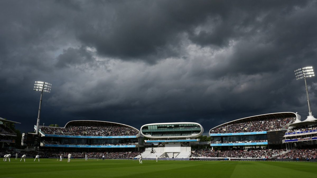
After what will be a fairly settled weekend, the week ahead may see heavy rain albeit alongside warm temperatures. According to forecasts, Monday will start off chilly but as the day progresses temperatures could hit up to 23°C in the south of England and large parts of Wales. Scotland, the Midlands and northern England will temperatures in the low 20s but will remain dry. While temperatures are due to rise to possibly 25°C on Tuesday, there will be a greater chance of heavy showers and possible thunder in Wales and Northern Ireland. The Met Office forecasts that “thunderstorms and long spells of rain” may move northwards. The showers are expected to clear by Wednesday morning as temperatures may rise to 26°C for the east, south east and London. The north east may see a high of 25°C but elsewhere in the Midlands, Scotland and northwest will see temperatures range between 22-24°C and possibly 18°C in Scotland. On Thursday, however, the BBC reports an area of low pressure will bring “strong winds” and “significant rainfall” on Thursday across the country. This heavy rain and possible thunderstorms will linger into Friday in what will be an unsettled week ahead. Despite the heavy rain, around three-quarters of England remains in drought and will need prolonged wet weather to replenish reservoirs and waterways. Officials are now warning of possible flash floods due to the dry ground and possible heavy rain expected next week. An aerial view of Tittesworth Reservoir in the Staffordshire Moorlands showing low water levels as the heatwave continues on August 14, 2026 in Leek, United Kingdom. The UK Health Security Agency (UKHSA) has issued heat-health alerts from Tuesday to Friday for nine regions in England, as parts of the country see temperatures in excess of 36C during the fifth heatwave of the season. (Photo by Christopher Furlong/Getty Images) Environmental Agency Chief Executive, Phillip Duffy, said: “This current rainfall isn’t enough to change the overall drought picture, and it is possible to have simultaneous drought and flood as heavy rain falls on compacted soils. “We are monitoring the flood risks, while also working with industry, agriculture, and the government on the ongoing drought response.” Despite some rises in river flows across northern England, 50 per cent of rivers in other parts of the country are classed as exceptionally low for this time of year. With reservoir levels 16.3 per cent lower than expected for this time of year. In a briefing on Tuesday, Met Office meteorologist Aidan McGivern explained England and Wales has received 150mm less rainfall than average since April. To put that into perspective, the average rainfall for the whole of September in England is 68.5mm. Over 70 per cent of England and all of Wales are currently in drought. Nine water companies have introduced hosepipe bans, affecting more than 27 million people across England and Wales – Severn Trent Water, Bristol Water and South Staffordshire Water have both asked for customers to cut back on usage. Seven major reservoirs being classed as having exceptionally low storage. Bristol Water said that due to the prolonged hot weather and significant increase in water usage across the Bristol region, demand has increased by around 45 million litres per day. Richard Stanbrook, General Manager of Drinking Water Services at Bristol Water, said: ‘To help protect water supplies across the network and reduce the risk of supply interruptions, we are asking customers to reduce their water usage where possible until temperatures begin to drop. We all need to use water wisely in these extreme conditions, and small changes can make a big difference.” How does El Niño tie into all of this? El Niño is expected to increase the chances of the UK experiencing a wet autumn, which should help the drought but it also means that a dry winter is likely on the horizon. Although it is too early to predict the weather for next summer, El Niño could cause another dry and hot summer. If forecasts are predicted, due to El Nino, 2027 is currently predicted to be the hottest year on record. With temperatures rising year on year, the UK may be left having to deal with drought for years to come. Tim Palmer, Royal Society Research professor at the University of Oxford, said climate forecasts are expected to be released next month outlining the impact of El Niño on the UK’s winter rainfall. “We can hope that they will show abundant rain over the UK. If they don’t, we’re in serious trouble,” he said.
Temperatures to hit 26°C next week – but thunderstorms could be on the way
Full Article
Original Source
Read the full article at Inews →KhanList aggregates and links to publicly available news content. We do not host full articles from third-party sources. Always verify important information with original sources.