
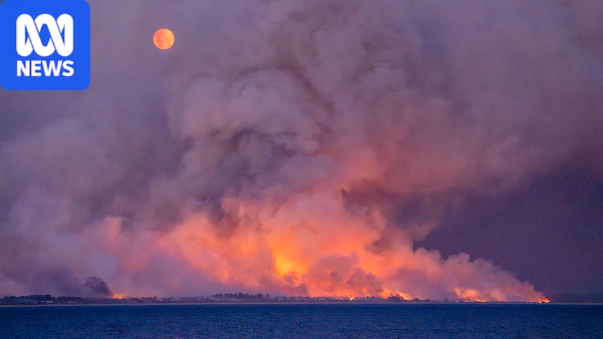
Almost 9 per cent of buildings in Tasmania are facing a high bushfire risk this season, according to a Hobart company that has mapped bushfire risk across the state.Geoneon has assessed the bushfire risk for properties across Greater Hobart since 2022 and has expanded its service to include the whole state this year."Our idea comes from having better data so that people can make better decisions," Geoneon co-founder and chief technology officer Alex Bandini-Maeder said.Bushfires are a complicated phenomenon to measure and predict, and understanding a region's exposure risk each year requires an analysis of how fuel loads build and change.Dr Bandini-Maeder said the team used satellite data from the same time last year to build a picture of moisture levels across the state.Machine learning was then used to identify the size, height, structure and density of the surrounding vegetation, and the topography of the landscape.The team broke its map into 10 wildfire severity index "classes", with each class representing an increasing scale showing how fuel, terrain and climate can impact bushfire severity.About 64 per cent of buildings across Tasmania fell in the lower categories 2, 3 and 4 across the Wildfire Exposure Index. (Supplied: Geoneon)It also shows the wildfire exposure index, which models to what degree buildings may be impacted by fire. Of the more than 450,000 building footprints the team assessed, almost 39,000 — or 8.6 per cent — fell within the highest classes of 7 to 10.While Geoneon said it hoped the index would support communities' preparedness and planning, the project came with some important caveats.For instance, it does not show where a fire will start, how it will spread, or what conditions are occurring.It also does not predict the probability of a fire starting or the vulnerability of the buildings themselves."Our map is not the whole answer. It's just one element that councils and residents can use to make better decisions," Dr Bandini-Maeder said.A community planning toolThe climate technology company specialises in using geospatial data, such as information taken from satellites, to "help make environmental change easier to see and understand" for governments and communities.Since securing a grant from the National Emergency Management Agency in 2021 to work with Hobart City Council to model which buildings were most exposed to fire, the project has grown in scope year-on-year.Geoneon chief executive Roxane Bandini-Maeder said in the intervening years, more Tasmanian local governments had expressed interest in the project.This year's bushfire exposure index project takes in the entire state and has been developed by the team pro bono, with support from Kingborough Council.Roxane Bandini-Maeder and Alex Bandini-Maeder co-founded Geoneon. (Supplied: Geoneon/Jess Oakenfull)Ms Bandini-Maeder said the project's aim was to help local governments evaluate where best to invest in bushfire preparedness."We have the data, they have their communities. So it's how we merge both together," she said.Heightened risk for state's northEarlier this month, the Tasmania Fire Service issued an alert for communities across Tasmania to prepare for the upcoming bushfire season early. Data from the Bureau of Meteorology and the National Emergency Management Agency has predicted parts of the state's north and north-east face heightened bushfire risk due to low rainfall. It coincides with predictions from the World Meteorological Organization that the El Niño weather phenomenon is set to intensify and could be the strongest on record.Ms Bandini-Maeder said the project so far had been a success — despite limited budgets, local governments had used the bushfire index tool to take bushfire preparedness into their own hands."We could actually see neighbourhoods starting to work together to prepare themselves better before the fire season," she said."Because they actually had the data as evidence."She said depending on how the statewide project was received this year, the team hoped to expand the project to other parts of the country in the future.
Statewide map shows where Tasmania's buildings face bushfire exposure
Full Article
Original Source
Read the full article at Abc →KhanList aggregates and links to publicly available news content. We do not host full articles from third-party sources. Always verify important information with original sources.