
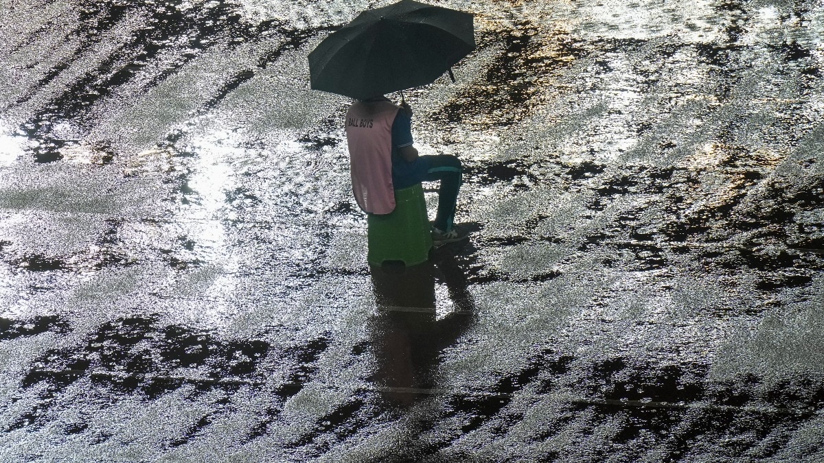
Rainfall activity is expected to remain widespread across several parts of India on Thursday, September 3, with the India Meteorological Department (IMD) forecasting heavy to very heavy rain in parts of north and central India.The most significant weather system driving the spell is a well-marked low-pressure area over northeast Madhya Pradesh and adjoining areas. Rickshaw puller wades through the flooded street after heavy rain. (Photo: PTI) The system is expected to move west-northwestwards across southern Uttar Pradesh and northern Madhya Pradesh during the next 24 hours, while its associated circulation extends high into the atmosphere.CENTRAL INDIA TO SEE HEAVY RAINEast Madhya Pradesh is expected to be one of the main hotspots on September 3. The IMD has forecast heavy to very heavy rainfall, with isolated extremely heavy rainfall, over the region.Heavy rain is also likely in isolated places throughout West Madhya Pradesh and Chhattisgarh. Meanwhile, Vidarbha is expected to see heavy to very heavy rain as well. A satellite image shows the weather systems over the Indian subcontinent. (Photo: IMD) The forecast comes after a wet spell across parts of central India.In the 24 hours ending 8:30 am on September 2, East Madhya Pradesh recorded heavy to very heavy rainfall at isolated places, with Naigarhi receiving 15 cm of rain.Chhattisgarh also recorded heavy rain, while several areas of Uttar Pradesh saw substantial rainfall.RAIN IN THE CAPITAL AND HILLSThe rain belt will also extend across northern India on September 3.Haryana, Chandigarh and Delhi are likely to receive fairly widespread rainfall, with heavy rain possible at isolated places. People attempt to cross a submerged road in Prayagraj following heavy rain. (Photo: PTI) Uttar Pradesh will remain active too, with heavy to very heavy rain expected at isolated places over West Uttar Pradesh.Meanwhile, East Uttar Pradesh may also receive isolated heavy rain. Thunderstorms with lightning are possible over parts of the state.The IMD has also forecast heavy rain over Himachal Pradesh, Uttarakhand and Punjab, while Arunachal Pradesh, Assam and Meghalaya and the northeastern states could see heavy rainfall in isolated areas.Furthermore, Sub-Himalayan West Bengal and Sikkim are likely to receive heavy to very heavy rain.WHY IS RAIN BECOMING WIDESPREAD?The active weather is linked to the low-pressure system moving through central India, along with the monsoon trough extending across northern and central parts of the country. People drive amid monsoon rains. (Photo: PTI) The IMD said the monsoon trough on September 2 stretched from Bhatinda through Rohtak, Hardoi and Kanpur to the low-pressure area over northeast Madhya Pradesh, before extending towards the Bay of Bengal.The broader wet spell is expected to continue beyond September 3.The IMD forecasts fairly widespread to widespread rain over East and West Madhya Pradesh through September 8, while Haryana, Chandigarh and Delhi are expected to see fairly widespread rainfall on September 3 and 4.- EndsPublished On: Sep 2, 2026 19:30 IST
Rain to remain intense: North, central India to get drenched on Thursday
Full Article
Original Source
Read the full article at Indiatoday →KhanList aggregates and links to publicly available news content. We do not host full articles from third-party sources. Always verify important information with original sources.