
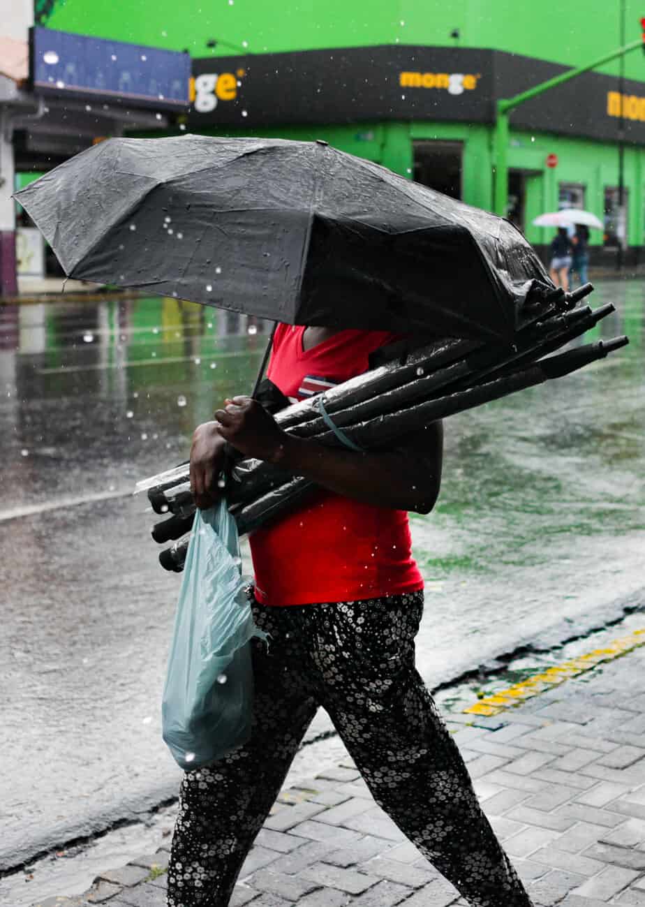
If you are driving anywhere in Costa Rica this weekend, check that your route is open before you leave. Rain will be steady through Wednesday, and the ground across much of the country is already saturated enough that a single heavy downpour can flood a road or bring down a slope. The National Emergency Commission declared a green alert today for the Caribbean, the Northern area, the Central Valley and the South Pacific. Green is the lowest of the three alert levels. It is a signal to prepare but not to cancel your plans. Two tropical waves are behind it as wave 42 moved in today and wave 43 follows on Saturday, both crossing a area that is already holding a great deal of moisture and sitting under an active intertropical convergence zone. The National Meteorological Institute expects unsettled conditions to last until Wednesday the 16th. Where and when you feel it depends on which side of the mountains you are on. On the Pacific side, expect isolated showers and downpours mostly in the afternoon. On the Caribbean and in the Northern area, the rain comes before dawn and through the morning, with isolated showers in the mountains later in the day. In the Central Valley it will be occasional at first and more frequent from the start of next week. As we have mentioned in previous weather articles, the saturated ground is the part worth paying attention to. Soil that has already absorbed weeks of rain stops taking in more, so water runs straight off into rivers and storm drains, and slopes lose their grip. That is why a storm that would pass without incident in March can close a mountain road in September. Alejandro Picado, president of the emergency commission, said flooding and landslides can occur easily in the alert areas under these conditions. So, this means you should confirm the road you plan to take is open before you set out and give yourself extra time. Do not drive through a flooded stretch or across a swollen river, whatever you are driving. Water that looks shallow hides how much of the roadbed underneath has washed away, and it takes surprisingly little current to move a vehicle. If something goes wrong, make sure your phones are charged in case you need to call 911. Mountain routes and national parks deserve extra care right now. That is where fog, falling rock and washed-out sections tend to show up first, and often with no warning between one curve and the next. None of this means the country is having a wet September. The meteorological institute expects the North Pacific to finish the month with roughly 80 percent less rain than usual, the Central and South Pacific with about 60 percent less, and the Central Valley with about 50 percent less. The Caribbean is the exception at 20 to 30 percent above normal, while the Northern Zone tracks close to average. Rebeca Morera, a specialist at the institute, said the dry pattern on the Pacific side will hold for the rest of the month. The result is a strange stretch of weather. Several days of rain arriving on ground that never fully dried out from August, inside a month that will end up drier than usual nearly everywhere except the Caribbean.
Rain Alert Covers Four Areas of Costa Rica Through Wednesday
Full Article
Original Source
Read the full article at Ticotimes →KhanList aggregates and links to publicly available news content. We do not host full articles from third-party sources. Always verify important information with original sources.