
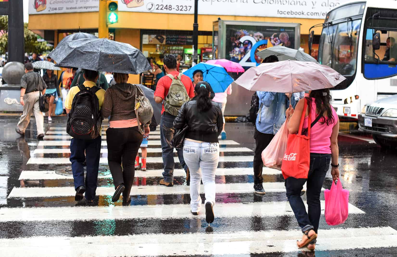
A broad low-pressure area off Central America’s Pacific coast now has a 60% chance of becoming a tropical depression within the next week. Whether it develops or not, it could bring heavy rain to parts of the region through the weekend. The odds climbed in less than a day. Yesterday morning, the U.S. National Hurricane Center gave the system a 30% chance of forming within 48 hours and 50% within a week. By its late Wednesday outlook, those numbers had risen to 40% and 60%. The low is producing a wide, disorganized area of showers and thunderstorms. Forecasters expect it to develop gradually while drifting slowly north, and a depression could form by this weekend. A tropical depression is the first stage of a tropical cyclone, with an organized circulation and sustained winds below 63 km/h (39 mph). For Costa Rica, the bigger concern is water, not wind. Costa Rica’s National Meteorological Institute (IMN) flagged the system’s cyclonic potential last evening. The low sits next to an already very active band of tropical moisture, the Intertropical Convergence Zone, which has kept afternoons and nights stormy across much of the country this week. Under that setup, IMN forecast 20 to 50 millimeters (0.8 to 2 inches) of rain in six hours, with peaks of 60 to 80 mm (2.4 to 3.1 inches) in the Caribbean mountains and near the Pacific coast. Storms can bring gusts of up to 80 km/h (50 mph), strong enough to bring down branches and power lines. As we have mentioned in multiple previous articles, the ground is why this rain matters more than usual. Soils are already 70% to 90% saturated in the South Pacific, on the Nicoya Peninsula and in the mountains of the Northern Zone, and they have had little time to dry since October’s nationwide rain alert. When the ground can’t absorb more water, rain runs straight into streams and drains. Creeks rise fast, culverts back up and slopes along roads can give way. That is what happened in mid-October, when soil saturation reached 85% to 100% and flash floods trapped people in Heredia and Escazú. The National Emergency Commission (CNE) put the whole country on green alert on Tuesday, which keeps emergency committees active in all 84 cantons. IMN expects cloudier conditions from Friday through Sunday, with fog on the Pacific slope early in the morning and cooler starts to the day. The hurricane center says heavy rain could reach parts of Central America through the weekend even if the low never becomes a depression. If you plan to drive or hike, build your day around the morning. Storms this week have been strongest in the afternoon and at night. Don’t cross a swollen river or a flooded road, on foot or by car. You can’t tell how deep or fast the water is until you are in it. Keep away from riverbanks and steep slopes during and after heavy rain. On the Pacific coast, expect rough seas on top of the rain. Small boats, fishing trips and water tours face the most risk, so check with your operator before you head out. Forecasts for developing systems can change quickly. The hurricane center updates its outlook every six hours, and the CNE can raise its alert level if conditions get worse.
Pacific Low Has a 60% Chance of Turning Tropical as Costa Rica Braces for Rain
Full Article
Original Source
Read the full article at Ticotimes →KhanList aggregates and links to publicly available news content. We do not host full articles from third-party sources. Always verify important information with original sources.