Published Aug 16, 2026, 8:45 AM EDT Aggy is a veteran writer and editor in the technology and gaming space. Having served as a Managing Editor for high-traffic digital publications, alongside being an editor and consultant for over a dozen sites. Aggy's published work spans a wide and respected array of tech and gaming outlets, including WePC, Screen Rant, How-To Geek, Android Police, PC Invasion, and Try Hard Guides. Beyond editorial work, Aggy's direct experience in the tech sphere extends to app development. Aggy has published two games under Tales and is always eager to learn and do more. He also likes working on computers and researching in his spare time. He knows about Windows, Linux, Audio, Video, and much more. Waze is good at what it does, but what it does comes with the cost of privacy. Companies love to claim you need to lose privacy to get certain features. That's not true. There are plenty of features that you can keep without needing Waze or its way of sending information to servers. You can pick open-source alternatives to Waze and Google Maps and have the same features. Voice directions work fine without sending your data anywhere Your phone can give turn instructions without an internet connection Turn-by-turn voice navigation in open-source apps is a great way to get audio directions without ever having to glance at your screen. This matters more than people realize. When you're picking your way along a wilderness trail or driving through a town you've never been in, your eyes need to stay on the ground or on the road instead of on your phone. Apps like Organic Maps and OsmAnd handle this pretty well by tapping into your phone's built-in text-to-speech engine, or open-source alternatives like RHVoice and eSpeak, to read out directions as you go. Because it uses text-to-speech instead of pre-recorded clips, it can call out actual street names, trail landmarks, and specific turns. You can also dial in how often it speaks so you can set it to only speak up at forks in the trail or major elevation changes, which keeps the chatter down and lets you stay focused on your surroundings. The way these apps calculate your route and time, their announcements are all handled locally on your device. Nothing gets sent to a server. OsmAnd runs its routing through its own built-in offline routing engine, pulling from a local database and adjusting paths based on whether you're on foot or in a vehicle. You can save your trips right on your phone Open apps store your route files locally so your data stays yours Credit: Jorge Aguilar / HowToGeek Apps like OsmAnd, Organic Maps, and Gaia GPS are designed around the idea that your location data belongs to you, so when you record a hike or a ride, that data stays on your phone. The way it works is that your phone's GPS or GNSS receiver is constantly picking up your coordinates, and the app writes those points directly to local storage instead of sending them anywhere. OsmAnd handles this through its Trip Recording plugin, where you can dial in exactly how often a new point gets logged based on distance traveled, speed, or time elapsed. That level of control matters a lot outdoors, because logging too frequently drains your battery and processor, while logging too sparingly means you lose detail on the trail. When you finish a trip, that data gets saved in GPX format. GPX is an open XML standard for passing GPS data between devices and software, and nobody has to worry about licensing. Waypoints are your points of interest, routes are the paths you planned out, and tracks are what actually got recorded on your trip. Each track breaks down into segments made up of points, with coordinates stored in decimal degrees using the WGS 84 datum, elevation in meters, and timestamps in UTC. Because of that, a GPX file recorded on your phone can be opened in professional GIS software, shared with a friend so they can follow the same trail, or imported into almost any other mapping tool without conversion issues. Organic Maps has historically used KML internally, but can export to GPX without any friction. OsmAnd goes a step further and adds its own custom data into the GPX file so that when you share a file with another OsmAnd user, all the visual styling comes along with it. So don't listen to anyone who claims that Google Maps or Waze can't log data without sending it to their servers. This can be done; the companies just choose to keep your data. Offline maps keep working when you lose cell signal Downloading maps ahead of time keeps your navigation working anywhere Credit: Jorge Aguilar / HowToGeek Apps like Waze are completely useless out where there is no internet. The moment you lose a signal, it has nothing to show you, and it keeps burning through your battery trying to find a connection that isn't there. Apps like Organic Maps and OsmAnd work differently. They download everything to your phone before you leave, so the maps, routing, and navigation all run locally without ever needing a signal. Your location still works too, because it comes from GPS satellites rather than cell towers or Wi-Fi. The phone just listens for satellite signals passively and figures out where you are entirely on its own, without sending anything back to any server. That means even under a heavy forest canopy or deep in a mountain canyon, the map keeps updating as you move, in real time. Keeping your maps current matters too, and this is actually where open-source apps have a real edge. They pull their data from OpenStreetMap, a collaborative global database that volunteers constantly update. Topographic maps show terrain without an internet connection Your phone shows elevation without sending anything to a server Being able to see the actual shape of the land on your phone screen is a huge deal for anyone moving outdoors. It takes raw elevation numbers and turns them into something you can actually look at and make sense of. Apps like Waze are built for roads that are flat, paved, and always online. So they're simply not designed to show you what the ground is doing beneath your feet. Open-source apps like OsmAnd and Organic Maps are built to show you the physical shape of the earth, and they do it without needing a cell signal. These apps pull elevation data from satellite surveys and store it directly on your device in compact files. The maps render right there on your phone, in real time, so you can see mountain peaks, valleys, and flat stretches laid out as a detailed topographic map even when you're completely off the grid. Luckily, this works well offline so your data is still yours. This doesn't replace everything None of this means open-source navigation apps are a straight upgrade for every use case. If you spend most of your time driving in cities where real-time traffic rerouting actually changes your commute, you'll feel the absence of crowdsourced incident data. However, if you're spending time outdoors, crossing areas with spotty coverage, or just uncomfortable with the amount of location history a commercial app accumulates over months of daily use, the apps covered here are good replacements. Organic Maps In-app purchases No App Publisher Organic Maps Organic Maps is a free, open-source, privacy-first offline map and GPS navigation application designed for travelers, hikers, cyclists, and drivers.
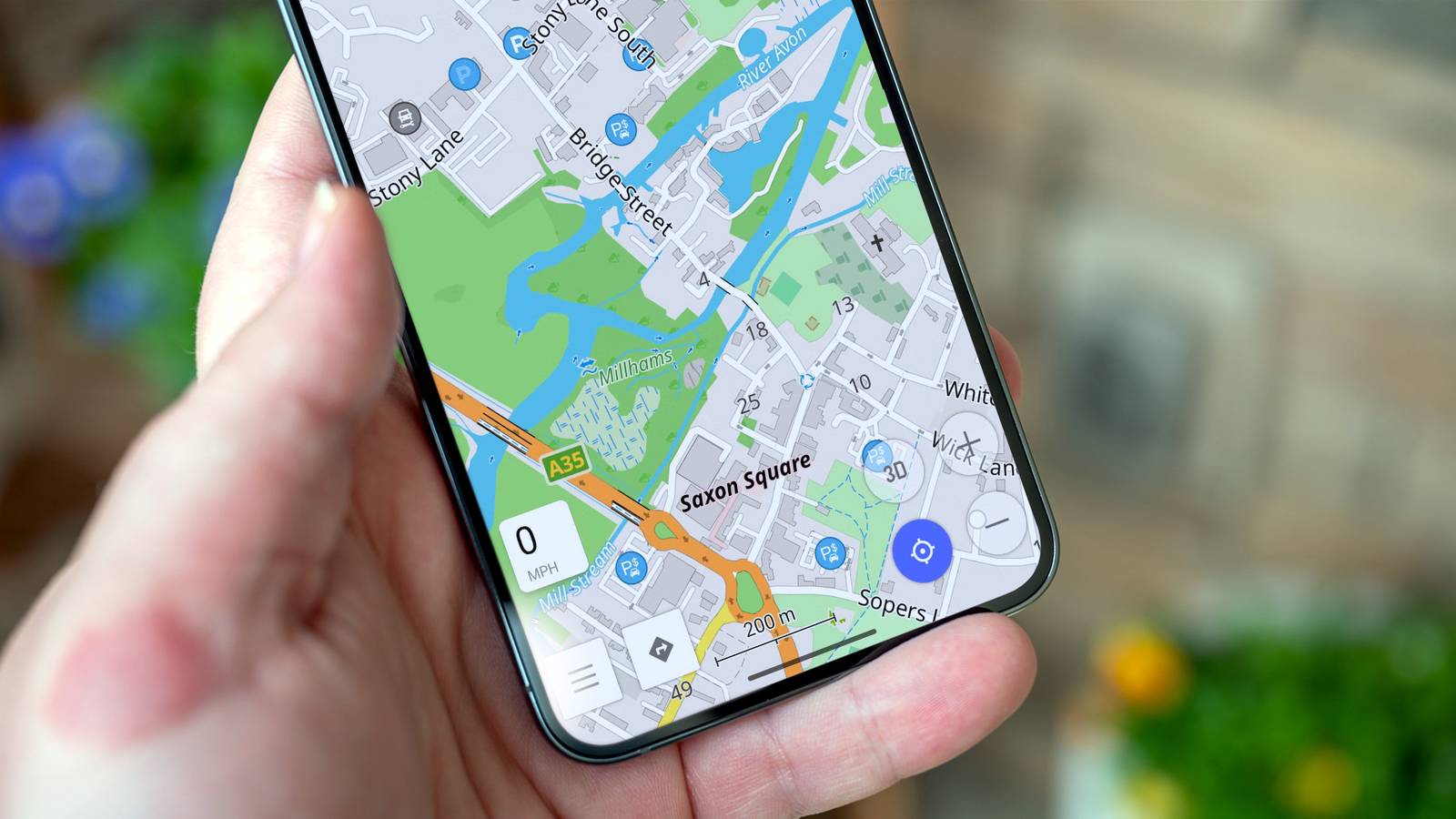
Open-source navigation apps can replicate these 4 Waze features without the privacy trade-offs
Full Article
Original Source
Read the full article at Howtogeek →KhanList aggregates and links to publicly available news content. We do not host full articles from third-party sources. Always verify important information with original sources.