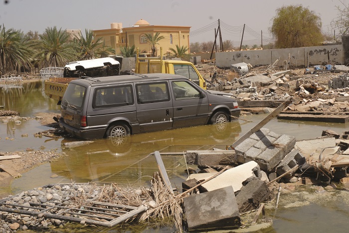
MUSCAT: Oman is stepping up efforts to strengthen its resilience against floods by embracing artificial intelligence (AI), satellite imagery and drone technology to improve risk assessment, disaster preparedness and insurance services.The move comes as the Financial Services Authority (FSA) convened a workshop on “Flood Risk Analysis Using Satellite and Drone Technologies”, bringing together representatives from the Civil Defence and Ambulance Authority, insurance companies, insurance brokers and technology experts to explore how emerging technologies can enhance the country’s ability to predict, assess and respond to natural disasters. The workshop was inaugurated by Muneer Salim Al Muneeri, Deputy President for Operations at Oman Investment Authority (OIA). The event focused on the latest technological innovations that can support flood risk analysis, particularly through the use of satellite imagery, drones, artificial intelligence and remote sensing.Participants discussed how these tools can improve data collection, damage assessment, insurance underwriting and claims settlement, helping to make the insurance sector more efficient and better prepared for climate-related risks.Speaking at the workshop, Ahmed Ali Al Maamari, Deputy CEO of the Financial Services Authority, said rapid advances in AI, data analytics and remote sensing technologies are fundamentally transforming the way risks are managed.
Oman turns to AI, satellites and drones to tackle risk from floods
Full Article
Original Source
Read the full article at Timesofoman →KhanList aggregates and links to publicly available news content. We do not host full articles from third-party sources. Always verify important information with original sources.