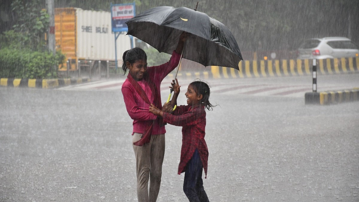
The monsoon is set to become more active across parts of north and east India, with Uttar Pradesh, Bihar, Uttarakhand and Haryana likely to see more rain over the next one to two days.Meteorologists (IMD) have forecast heavy rainfall at isolated places over these regions on August 5 and 6, with some areas likely to receive very heavy spells.Thunderstorms, lightning and gusty winds are also expected in parts of the region. People during the rain at Ridge, in Shimla. (Photo: PTI) For areas that have seen an uneven run of monsoon rain, the coming spell could bring a much-needed boost in rainfall activity. WHAT IS DRIVING THE HEAVY RAIN IN NORTH INDIA?At the centre of the shifting weather pattern is the monsoon trough, an elongated zone of low pressure that stretches across northern India and acts as one of the monsoon's main rain-bearing systems.Another reason behind the increasing monsoon intensity is a cyclonic circulation over south Uttar Pradesh and adjoining areas. A satellite image of the monsoon rains over the Indian subcontinent. (Photo: Windy) Such a circulation is a large-scale rotating weather system that can help draw moisture into the atmosphere and encourage cloud formation.In the current setup, the circulation is interacting with the monsoon trough, helping strengthen rainfall activity across parts of Uttar Pradesh and neighbouring areas.Other circulations over north India are also contributing to the active weather pattern.The result is a favourable setup for widespread showers, with some places likely to see intense bursts rather than continuous rain. Vehicles move through a waterlogged street following heavy rain. (Photo: Reuters) HOW HAS THE MONSOON BEEN LIKE SO FAR?The new spell is expected to bring a much-needed change for the region that has only seen uneven rains so far this season.The monsoon has not behaved evenly across north India this season. Some areas have received spells of substantial rain, while others have gone through longer periods of lighter or scattered showers.That uneven pattern is one reason a few days of stronger rainfall can make a noticeable difference.But a single active spell does not automatically erase rainfall shortages built up over several weeks. A man wades through a waterlogged street amid heavy rain. (Photo: PTI) Uttar Pradesh has already seen an increase in rainfall activity in recent days, while the latest IMD forecast suggests that the wetter conditions will extend into neighbouring Bihar, Uttarakhand and Haryana.The active weather is also part of a much larger monsoon pattern.The same broad setup is producing rain over several other parts of the country, including the Northeast, central India and parts of the western coast.WHAT CAN THESE STATES EXPECT NEXT?The heaviest activity is likely to be concentrated in parts of Uttar Pradesh and Bihar, while Uttarakhand could also experience intense spells of rain.The hilly terrain of Uttarakhand means intense rainfall can quickly increase pressure on slopes and river systems.Haryana, meanwhile, could see periods of heavy rain, with showers potentially becoming disruptive in places. (Source: Windy) The crucial question now is whether this turns into a sustained revival or remains a short burst of monsoon activity.For the next 48 hours, however, the rain-bearing systems are firmly lined up over north India.- EndsPublished On: Aug 5, 2026 10:57 IST
Monsoon to turn vigorous, rain to intensify over UP, Bihar, Uttarakhand
Full Article
Original Source
Read the full article at Indiatoday →KhanList aggregates and links to publicly available news content. We do not host full articles from third-party sources. Always verify important information with original sources.