
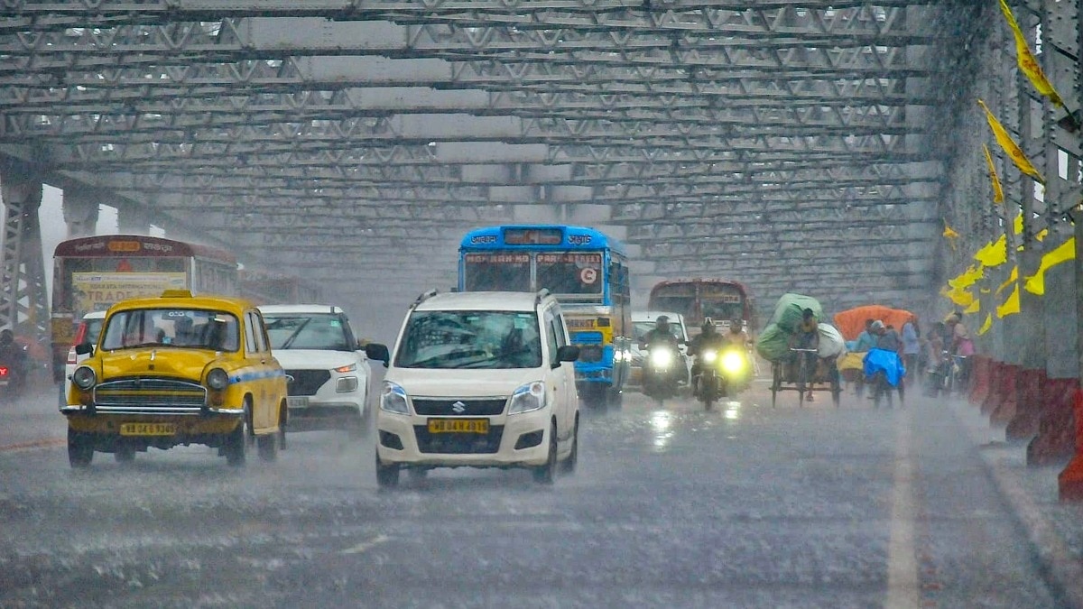
Rain is likely to remain widespread across several parts of India on Wednesday, September 16, with the India Meteorological Department (IMD) forecasting heavy rainfall at isolated places in Delhi, Haryana, Punjab and several other states.The forecast comes as multiple weather systems continue to influence different parts of the country, keeping the monsoon active over northern, eastern and southern regions. People carry idols of Lord Ganesh on a waterlogged road following rain in Ahmedabad, Gujarat. (Photo: PTI) MORE RAIN IN STORE FOR DELHI-NCRDelhi and neighbouring areas are likely to see another wet day on September 16.The IMD has forecast isolated heavy rainfall over Haryana, Chandigarh and Delhi, as well as Punjab. Thunderstorms accompanied by lightning are also likely at isolated places over Haryana, Chandigarh and Delhi, Punjab and Uttarakhand. Parts of the region could therefore see rain arriving along with thunderstorms rather than as a steady spell through the day.The wet spell is not expected to end immediately. A satellite image shows the weather systems over the Indian subcontinent. (Photo: IMD) The IMD has forecast fairly widespread to widespread rainfall over Haryana, Chandigarh, Delhi and Punjab on September 16-17, with isolated heavy rain during this period.HEAVY RAIN IN THE EAST AND SOUTHThe rain will not be limited to northwest India.The IMD has forecast heavy rainfall at isolated places over the Andaman and Nicobar Islands, Arunachal Pradesh, Assam and Meghalaya, Kerala, Sub-Himalayan West Bengal, Tamil Nadu, Puducherry and Karaikal on September 16. People gather at the Parade Ground during rain in Dehradun. (Photo: PTI) Thunderstorms accompanied by lightning and gusty winds of 40-50 kmph are likely at isolated places over the Andaman and Nicobar Islands, Kerala and Mahe, and Tamil Nadu, Puducherry and Karaikal.Other parts of eastern and central India could also see thunderstorms.WHY IS THE RAIN CONTINUING?The IMD's analysis points to several weather systems working at the same time. A satellite image of the weather systems in and around India. (Photo: Windy) A low-pressure area that was over southwest Rajasthan and adjoining Kutch on September 15 had moved into southeast Pakistan and neighbouring areas.Its associated circulation extended up to 7.6 km above mean sea level.At the same time, an upper-air circulation over the northwest Bay of Bengal and adjoining Odisha and West Bengal coasts persisted.A trough extending from south interior Karnataka to the Gulf of Mannar through Tamil Nadu was also continuing. These systems are helping maintain moisture and rainfall activity over different parts of the country. A man walks amid heavy rain. (Photo: PTI) The IMD has also said conditions are becoming favourable for the southwest monsoon to begin withdrawing from some parts of west Rajasthan around September 19.Until then, several regions are likely to continue experiencing active rainfall.- EndsPublished On: Sep 15, 2026 19:30 IST
Monsoon to sweep these states on Wednesday. Latest weather forecast here
Full Article
Original Source
Read the full article at Indiatoday →KhanList aggregates and links to publicly available news content. We do not host full articles from third-party sources. Always verify important information with original sources.