
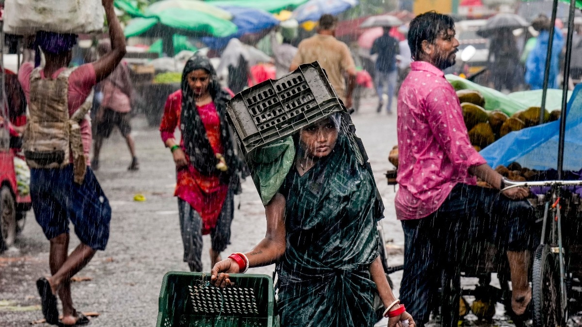
The southwest monsoon is showing little sign of slowing down, with the India Meteorological Department (IMD) forecasting another day of widespread rainfall across several parts of India on Saturday, August 8.The latest IMD forecast, issued on Friday, August 7, puts East Rajasthan and Odisha at the centre of the heaviest rainfall forecast, while several other states are likely to see isolated heavy showers. People wade through a waterlogged road amid heavy rain, in Gurugram. (Photo: PTI) EAST RAJASTHAN, ODISHA FACE HEAVIEST RAINThe IMD has forecast heavy to very heavy rainfall in isolated places over East Rajasthan and Odisha on August 8.Several other regions could also receive heavy rain, including Arunachal Pradesh, Assam, Meghalaya, Chhattisgarh, coastal regions of Andhra Pradesh, East Madhya Pradesh, East Uttar Pradesh, Himachal Pradesh, Jharkhand, Kerala, Konkan and Goa, Nagaland, Manipur, Mizoram and Tripura, southern interior Karnataka, Uttarakhand, West Bengal and Sikkim, and West Rajasthan. Thunderstorms, lightning and gusty winds are also likely in parts of the south and central regions.The IMD has forecast gusty winds of 40-50 kmph, gusting up to 60 kmph, during thunderstorms over parts of Andhra Pradesh, Kerala, Lakshadweep and Tamil Nadu. People wade through a waterlogged road amid rainfall. (Photo: PTI) RAIN HAS ALREADY BEEN WIDESPREADThe forecast comes after another active day of monsoon rain.In the 24 hours ending at 8:30 am on Friday, August 7, rainfall was recorded at most places over several regions, including Uttarakhand, Himachal Pradesh, West Uttar Pradesh, Haryana, Delhi, Odisha, Jharkhand, Konkan and Goa, Chhattisgarh, Kerala and coastal parts of Karnataka.Some locations recorded particularly high rainfall; Pahari in Rajasthan received 16 cm, while Kumarakam in Kerala recorded 14 cm.Odisha's Narla also received 13 cm, while Gunnaur in Uttar Pradesh recorded 13 cm.The IMD said heavy to very heavy rain had already occurred at isolated places over Odisha, West Uttar Pradesh, East Rajasthan and Kerala. A satellite image shows the weather systems over the Indian subcontinent. (Photo: IMD) WHY IS THE MONSOON SO ACTIVE?Several weather systems are working together.The monsoon trough currently stretches from Ganganagar through Delhi and a low-pressure area over southwest Uttar Pradesh towards the Bay of Bengal.The low-pressure area and its associated circulation extend up to 4.5 km above sea level.Another circulation over south Gangetic West Bengal and adjoining Bangladesh is expected to help a fresh low-pressure area form near the coast before moving west-northwestwards across eastern and central India.Together, these systems are helping keep moisture flowing into different parts of the country, setting the stage for another wet Saturday across large parts of India.- EndsPublished On: Aug 7, 2026 19:30 IST
Monsoon to remain active: Many states to see heavy rain on Saturday
Full Article
Original Source
Read the full article at Indiatoday →KhanList aggregates and links to publicly available news content. We do not host full articles from third-party sources. Always verify important information with original sources.