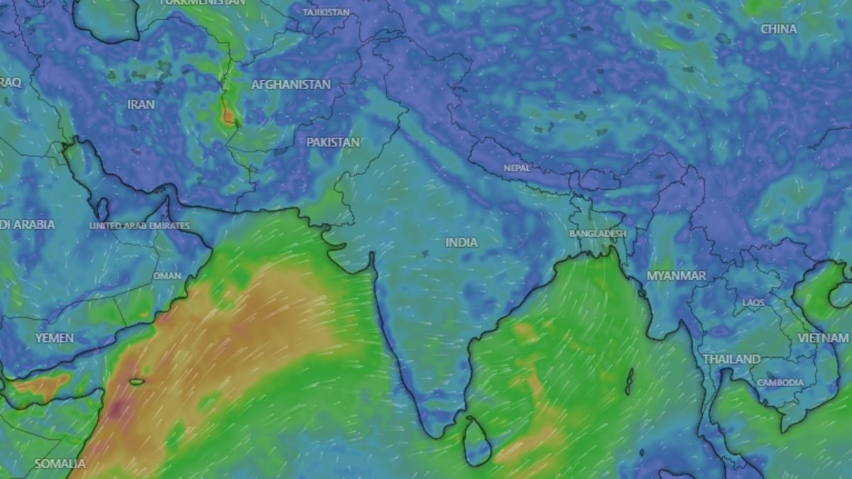
For much of July, the monsoon has behaved like a guest who arrived, unpacked, and then quietly stopped showing up for dinner.The clouds thinned, the plains simmered, and the rain retreated towards the Himalayan foothills. Now, the India Meteorological Department (IMD) says the wait is nearly over. The monsoon is preparing a strong comeback.WHEN AND WHERE WILL IT RAIN NEXT WEEK?The revival is expected to begin over Northeast India and then spread to East, Central and North India early next week.Widespread showers and thunderstorms are likely, with heavy rain in some places. For the Gangetic plains and Central India, which have spent weeks under a hot, sticky haze, this will be the first real relief of the month. WHAT WILL BRING THE RAIN BACK?The engine of the comeback is a fresh low-pressure area forming over the Bay of Bengal.A low-pressure area is a patch of the atmosphere where air rises. As it rises, it behaves like a giant vacuum cleaner, sucking in moist winds from the sea and organising them into rain-bearing clouds.As this system drifts inland across the east coast towards Central India, it will drag the monsoon trough back into position. The trough is an elongated line of low pressure stretching across northern India, and it works as the spine of the monsoon. Where the trough sits, the rain follows.For weeks, this spine had shifted north towards the Himalayan foothills. That is why the hills received heavy rain while the plains stayed dry. Once the trough returns south, moist winds from both the Bay of Bengal and the Arabian Sea are expected to push deep inland, feeding rain across a much wider area.WHY DID THE MONSOON GO QUIET IN JULY?India has been in what meteorologists call a break monsoon phase, a well-known lull in which the trough drifts north and Central India dries out.Very few low-pressure systems formed over the Bay of Bengal this month, the moisture-carrying winds from the Arabian Sea weakened, and sinking air over the country suppressed cloud growth.The result is a nationwide rainfall deficit of 24 per cent so far, with India receiving 244.6 mm of rain against a normal of 323.1 mm.WHY HAS IT FELT SO HOT WITHOUT RAIN?Because the moisture never left, only the clouds did. Strong sunshine heated the land, while high humidity stopped sweat from evaporating efficiently, pushing the "feels-like" temperature, or heat index, above 40 degrees Celsius in many cities.Dry spells make this worse. Research on India's core monsoon zone shows that when soils dry out, more of the Sun's energy goes into heating the air instead of evaporating water, amplifying the heat further.IS ONE WEEK OF RAIN ENOUGH?No. Next week's burst will cool the plains and help farmers sow rice, soybean, cotton and pulses. But erasing a seasonal shortfall needs sustained, widespread rain over several weeks.The real test for this monsoon begins now, and August will decide how the season is remembered.- EndsPublished By: Radifah KabirPublished On: Jul 19, 2026 08:57 IST
Monsoon set for a strong comeback: When and where will it rain next week?
Full Article
📰 Original Source
Read full article at Indiatoday →KhanList aggregates and links to publicly available news content. We do not host full articles from third-party sources. Always verify important information with original sources.