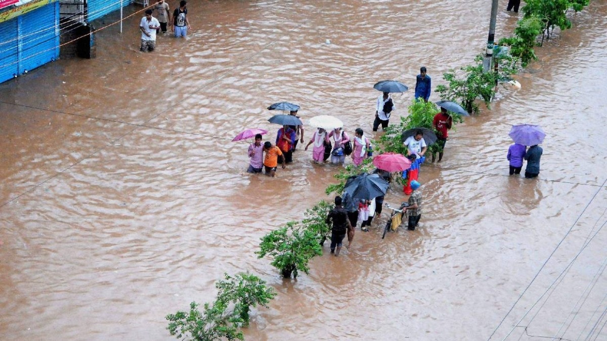
India's monsoon is showing no signs of slowing down.According to the India Meteorological Department (IMD), several states are set to receive intense rainfall on Saturday, July 26, with three states under closer observation; Gujarat, Maharashtra and Odisha.The IMD has forecast heavy to very heavy rainfall, with isolated spells of extremely heavy rain, over Maharashtra and Odisha on July 26. An auto rickshaw moves on a street during rain in Odisha. (Photo: PTI) Chhattisgarh, Gujarat and the Konkan & Goa belt are also expected to see heavy to very heavy showers. This comes a day after Gujarat's Santalpur in Patan district recorded a staggering 390 mm of rainfall in 24 hours, among the highest anywhere in the country this week, alongside similarly high totals in Radhanpur and Deodar.RAIN ALL AROUNDBeyond the red-flagged states, heavy rainfall is likely at isolated places over a long list of regions on July 26. A satellite image showing weather systems over the Indian subcontinent. (Photo: IMD) The list of places expected to be drenched includes Arunachal Pradesh, Assam & Meghalaya, Andhra Pradesh, Madhya Pradesh, Gangetic West Bengal, Himachal Pradesh, Jammu & Kashmir, Jharkhand, the northeastern states of Nagaland, Manipur, Mizoram and Tripura, Uttarakhand and west Rajasthan.Thunderstorms with lightning and gusty winds of 40-50 kmph are also expected over the Andaman & Nicobar Islands, Andhra Pradesh, Gangetic West Bengal, parts of Karnataka, and Tamil Nadu. A vehicle wades through a waterlogged road after heavy rain. (Photo: PTI) WHAT'S BEHIND THE RAIN?Behind this spell of rain lies a mix of weather systems currently active over India.A low-pressure area continues to sit over southwest Rajasthan, while another low-pressure system has formed over the northwest Bay of Bengal and adjoining West Bengal coast. A satellite image of the low pressure system forming in the Bay of Bengal. (Photo: Windy) The IMD is expecting the latter to strengthen further over the next two to three days.A monsoon trough connecting these two systems runs across central India, along with an active western disturbance over the north, together fuelling rain over such a wide stretch of the country.This burst of rainfall comes weeks after the southwest monsoon covered the entire country on July 9 this year, arriving on schedule and setting the stage for what has been an uneven monsoon season so far.The IMD's outlook also flags a heightened flash flood risk over the next 24 hours in parts of Saurashtra & Kutch in Gujarat, along with several districts of Jharkhand, Odisha and Chhattisgarh, where already-saturated soils could see surface runoff and waterlogging in low-lying areas if heavy rain arrives.- EndsPublished On: Jul 25, 2026 19:30 IST
Monsoon mayhem ahead: Intense rain in Gujarat, Maharashtra, Odisha on Sunday
Full Article
Original Source
Read the full article at Indiatoday →KhanList aggregates and links to publicly available news content. We do not host full articles from third-party sources. Always verify important information with original sources.