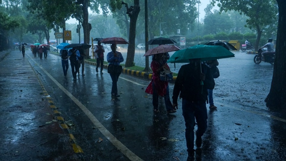
India is set for another spell of widespread monsoon rain on Thursday, August 13, as a fresh low-pressure system over the North Bay of Bengal is expected to strengthen and move inland.The India Meteorological Department (IMD) said the system, which formed off the West Bengal-Bangladesh coasts on Wednesday, August 12, is likely to become a well-marked low-pressure area within 12 hours and then intensify into a depression over the following 24 hours. Women ride a scooter during a heavy spell of monsoon rain, in Amritsar. (Photo: PTI) NEW SYSTEM, NEW RAINSThe low-pressure area formed under the influence of a cyclonic circulation that had developed over the North Bay of Bengal.The active monsoon trough is also lying south of its normal position, providing a favourable setup for rainfall across several parts of the country. By Thursday, August 13, heavy to very heavy rainfall, with extremely heavy rain at isolated places, is likely over Gangetic West Bengal and Odisha. Chhattisgarh could also see heavy to very heavy rain at isolated places.Heavy rain is expected in several other states, including Jharkhand, East Uttar Pradesh, Gujarat, parts of Maharashtra, West Madhya Pradesh, Rajasthan, Himachal Pradesh, Uttarakhand, Jammu and Kashmir, Kerala, Karnataka, Konkan and Goa, parts of the Northeast and Tamil Nadu. A satellite image shows the weather systems over the Indian subcontinent. (Photo: IMD) The system is expected to move northwestwards across West Bengal and adjoining Bangladesh after strengthening. This could keep eastern and central parts of the country wet in the coming days.RAIN ALSO IN NORTH, WEST AND SOUTHThe rain is not limited to the new Bay of Bengal system.The IMD said widespread rainfall will continue over the Western Himalayan region, while East Rajasthan is likely to receive heavy rain on August 13-14.West Madhya Pradesh is also likely to receive heavy rain on Thursday, while Gujarat and parts of Maharashtra remain under the influence of an active monsoon pattern. A man rides a bike through a waterlogged street following heavy rainfall. (Photo: PTI) Coastal parts of Karnataka and Kerala are also expected to see heavy rainfall in places.This comes after an intense spell of rain across parts of central and western India.In the 24 hours ending Wednesday morning, extremely heavy rainfall was recorded in East Rajasthan and West Madhya Pradesh, while very heavy rain was reported in Maharashtra, Gujarat and West Uttar Pradesh.WILL IT RAIN IN DELHI-NCR?Delhi is likely to see a relatively calmer and balmy day on Thursday, although possibility of rain remains.The IMD forecast partly cloudy skies with one or two spells of very light rain from the forenoon to evening. A woman wades through a waterlogged road amid rainfall. (Photo: PTI) The maximum temperature is expected to remain between 33-35°C, while the minimum could be 24-26°C.The maximum temperature is likely to stay near normal, while the minimum will remain below normal at most places.The broader northwest region, however, is expected to become wetter from August 14, with widespread rain forecast over Haryana, Chandigarh, Delhi and Punjab.Rain continues to define the seasonal patter but some parts of the country might be luckier than others.- EndsPublished On: Aug 12, 2026 19:30 IST
Monsoon down, but not out: Rain to pick up pace from Thursday
Full Article
Original Source
Read the full article at Indiatoday →KhanList aggregates and links to publicly available news content. We do not host full articles from third-party sources. Always verify important information with original sources.