
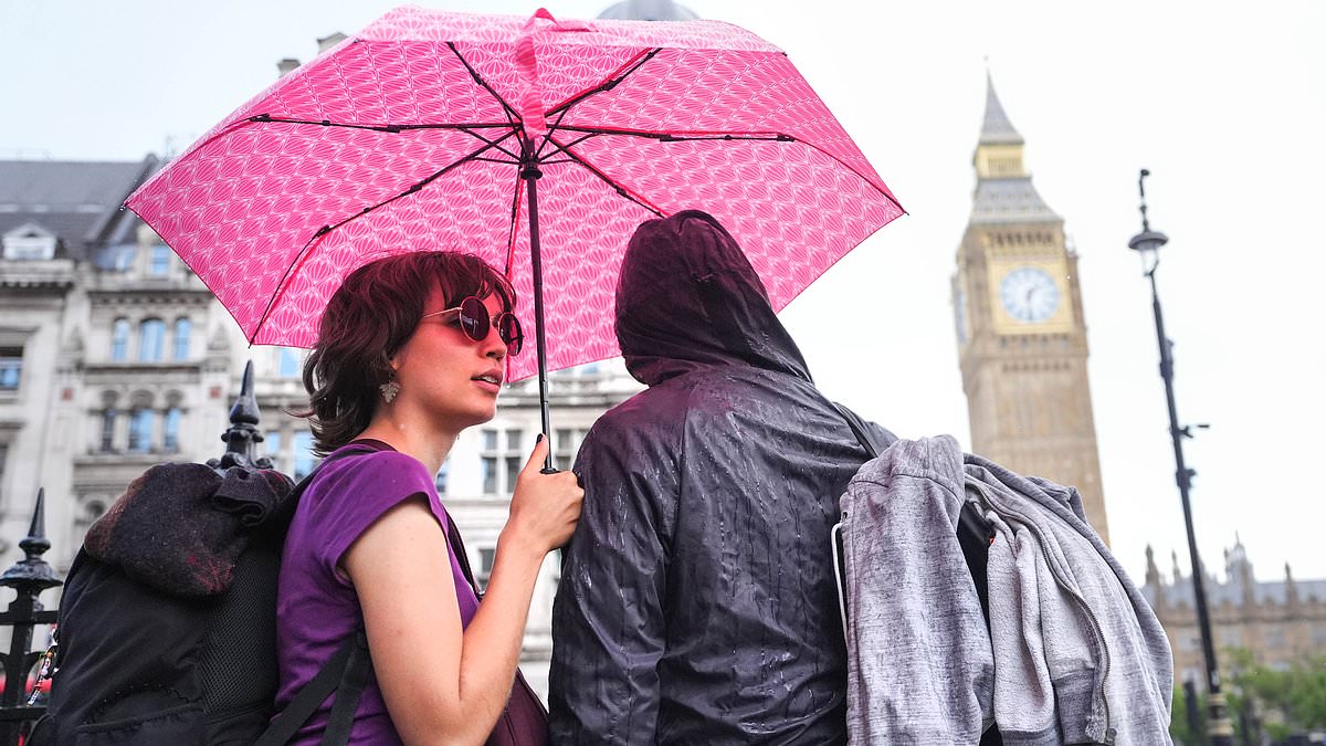
See more Daily Mail on Google - save us as a Preferred Source Published: 04:55 EDT, 25 August 2026 | Updated: 05:07 EDT, 25 August 2026 Parched parts of Britain will be on high alert for flooding tonight after forecasters issued a thunderstorm warning with up to a month's worth of rain set to fall.The Met Office said a yellow alert would be active for 19 hours between 3am and 10pm tomorrow, covering much of England including London and some of Wales.A band of heavy showers and thunderstorms will move northwards tonight, before a drier and brighter interlude – followed by further stormy weather in the afternoon.Forecasters said the storms 'may be intense' with up to 30mm (1.2in) of rain falling in less than an hour and up to 50mm (2in) in two to three hours in some areas.Homes and businesses could be flooded quickly, with damage to some buildings from flooding, lightning strikes or hail. Rail and bus delays are also possible.Spray and sudden flooding could lead to difficult driving conditions and some road closures - while there is also a risk of power cuts, according to meteorologists.Uncertainty remains over exactly where the areas of thunderstorms will develop, meaning rainfall amounts could vary significantly over relatively small distances.The Met Office urged anyone who lives in an area that could be impacted by flash flooding to prepare a flood plan and emergency kit ahead of tonight's storms. Two people shelter from the pouring rain under an umbrella in Westminster last Thursday The Met Office yellow thunderstorm warning will be active between 3am and 10pm tomorrowThose who hear thunder while outside were advised to protect themselves by finding a safe enclosed shelter such as a car – and to not shelter under or near trees.Forecasters expect the showers and thunderstorms to drift northwards and ease during tomorrow evening, but further rain could follow later this week.Met Office deputy chief forecaster Mark Sidaway said: 'While many areas will see dry and increasingly warm conditions at the start of the week, attention is turning to the potential for heavy rain and thunderstorms from Wednesday onwards.'As warmer and more humid air moves north across the UK, there is an increasing likelihood of some heavy rain developing.'Some places could see 20 to 30mm of rain in just a few hours, while there is also the potential for higher totals where thunderstorms repeatedly affect the same locations.'The UK is now entering the final week of an exceptionally hot and dry summer which has plunged nearly three-quarters of England and all of Wales into drought, with 28million people under hosepipe bans.Rivers and reservoirs are running low after some areas went two months without rain. Wisley in Surrey had 62 consecutive dry days until last week, while London Heathrow had 56 dry days.Last month was the driest July on record for England, with the south-east left severely parched. Met Office data showed East Anglia had just 2mm (0.1in) of rainfall in July, and 56.3mm (2.2in) in June.That means the 50mm of rain forecast for tomorrow is nearly as much as has been observed across the past two months combined. The Environment Agency said last Friday that south-east England had received just 3mm of rain so far in August – with rainfall totals for the month still below average across all regions of England, despite wetter weather in some areas.The average rainfall for south-east England in August - using the Heathrow weather station as an example - is 53mm (2.1in).The Environment Agency added that seven reservoirs in England are now classed as having 'exceptionally low' storage levels, up from five a week ago.Forecasters have also warned Britain faces more storms and rain this autumn and winter caused by an 'unprecedented' El Niño event.El Niño is declared when sea temperatures in the tropical eastern Pacific rise 0.5C above the long-term average, impacting global rainfall patterns and temperatures.The natural warming of sea temperatures is forecast to reach more than 3C in the coming months, according to Met Office calculations – while other climate groups have projected something even stronger, perhaps even 4C above average.The Met Office said this year's event will be 'the largest since the 19th century' – with one expert even claiming it could be the strongest 'in 500 or even 1,000 years'.
Met Office issues thunderstorm warning for London with flooding fears as two inches of rain set to fall on parched ground in just two hours
Full Article
Original Source
Read the full article at Dailymail →KhanList aggregates and links to publicly available news content. We do not host full articles from third-party sources. Always verify important information with original sources.