
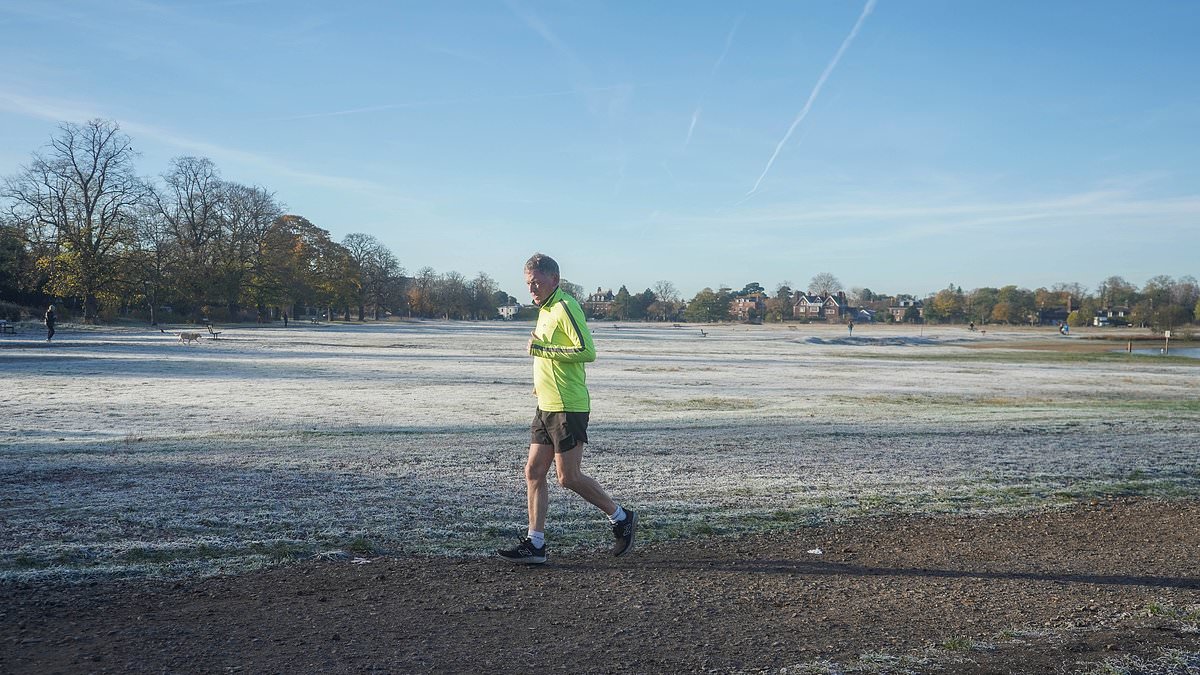
The Met Office has tonight issued a 12-hour snow alert for parts of the UK this week, as a cold air mass is due to roll in through the west of the country and bring with it Arctic conditions. Temperatures could plunge to as low as -8C this week - particularly on Tuesday, which could see hazardous conditions and gusts of up to 60mph in the north of England and Scotland. The yellow weather warning for snow will be in place on Tuesday from midnight until 12pm for the north of England and southern Scotland, which could see 'drifting snow, ice accretion and blizzards' according to meteorologists. The affected regions include the East Midlands, North East England, North West England, Strathclyde, south west Scotland, West Midlands and Yorkshire and the Humber. Chaos could ensue for commuters and communities are being warned of potential power outages in some areas. The snowy prediction comes after a frosty week for the UK, which saw wet conditions on Sunday across much of England. A runner jogging through Wimbledon Common in London yesterday battled frosty conditions - which are set to continue in the coming week Mist rests over a river running through a frost-covered Richmond Park, London, on Friday, as temperatures dropped to -6C in some parts of the country The yellow weather warning for snow on Tuesday was issued by the Met Office for the north of England and southern ScotlandThe glacial conditions will also follow a yellow weather warning for ice, which is in place on Monday from 6pm until 10am on Tuesday morning and affecting Scotland and the north of England. This will mean 'icy stretches' developing overnight on Monday which is 'likely to lead to some difficult driving conditions'. The Met Office said that on Monday, across northern Scotland, 'icy conditions are likely to be exacerbated by some wintry showers, with snow falling to low levels for a time before becoming mainly confined to higher ground late in the night.'No more than 1-2 cm is likely at lower levels, with higher ground perhaps seeing up to 4 or 5 cm from these wintry showers.' Britons are being warned that the potential snow on Tuesday morning could cause 'disruption on high grounds'. The Met Office said that some roads and railways are likely to be affected with longer journey times for drivers and commuters. Car windscreens in a residential street in Wimbledon covered in frost as temperatures plummeted overnight on Friday. Temperatures next week could plummet to -8CThe forecaster also warned of a 'small chance of power outages or degradation of mobile phone service' in the affected areas. A strong easterly wind could also cause snow drifts, as well as ice on power lines, although the snow is expected to gradually turn to rain over the course of Tuesday. Meteorologist Aidan McGivern said on Sunday night: 'As the next weather system moves in, this is going to contain milder air and some heavy rain for the south. But it also bumps into colder air further north. 'From mid-Wales northwards, that means there's the chance of wintry hazards Monday night through to the start of Tuesday.'But mostly these wintry hazards will be on the hills of Wales, northern England and southern Scotland.' He continued: 'In fact, it's during Monday evening that we're likely to see some freezing rain or snow on upland parts of mid to north Wales, rain at lower levels. 'Then as that system moves into colder air across northern England, and southern Scotland during the early hours of Tuesday we're likely again to see some significant and disruptive snow above 300m for northern England and above 150-200m in southern Scotland. 'That, accompanied by increasingly strong winds of gusts up to 50, 60mph, means that it is going to be hazardous for upland parts of northern England and southern Scotland with the risk of drifting snow, ice accretion and blizzards.' Mr McGivern added: 'For where most people live, it will be wet weather rather than wintry weather.' People across Britain, however, can expect a cold start on Tuesday, with icy patches towards the north and north east. Overnight temperatures could again drop well into the negatives in the coming week. This week, Brits already battled tougher conditions, with the lowest temperature of -6.6C being recorded in Sennybridge, Wales.In the village of Shap, near Penrith in Cumbria, and in Eskdalemuir in Dumfries and Galloway, temperatures dropped to a bone-chilling -6.5C on Friday night. The forthcoming yellow weather alerts will, according to the UK Health Security Agency, potentially cause an increased use of healthcare services and a greater risk to life to vulnerable people. Dr Anya Gopfert, consultant in public health at UKHSA, said on Saturday of the weather warnings this week: 'This is the first cold-health alert of the winter, but we can expect more as we move further into the season.'Cold weather can have a serious impact on the health of some people, including those aged 65 and over and those with pre-existing health conditions, so it is vital to check in on friends, family and neighbours who are most vulnerable.'Dr Gopfert said heating homes and dressing warmly can help people stay safe during the cold weather.READ MORE: It's Great Brrrr-itain! Nation shivers as temperatures plunge towards -7C with new cold weather alert issued for next week
Met Office issues 12-hour snow alert: Yellow weather warnings in place as 'cold Arctic air mass' rolls through - and temperatures could plummet to -8C
Full Article
Original Source
Read the full article at Dailymail →KhanList aggregates and links to publicly available news content. We do not host full articles from third-party sources. Always verify important information with original sources.