
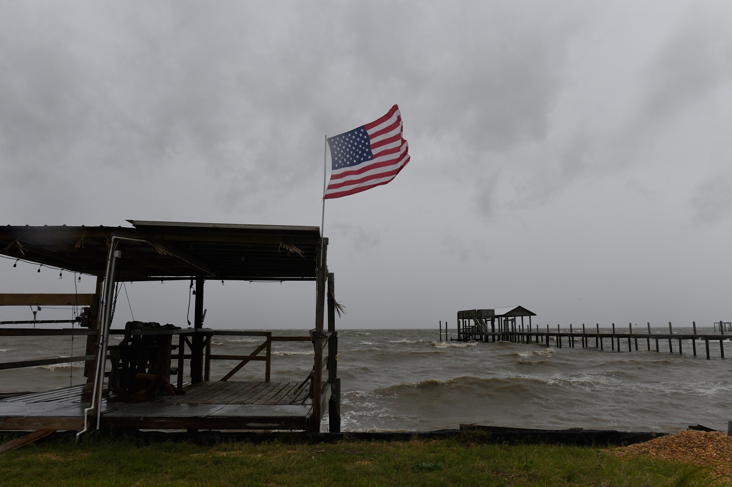
The Category 3 storm, with winds near 120 mph, is forecast to come ashore this evening between the Alabama line and Destin.(CN) — Florida Governor Ron DeSantis issued emergency declarations for 27 counties in the Florida Panhandle Friday morning as Hurricane Isaias strengthened into a Category 3 storm with winds near 120 mph. The storm is on track to make landfall somewhere between Pensacola and Destin Friday night.Mandatory evacuation orders were in effect for low-lying and waterfront areas of Escambia, Okaloosa, Santa Rosa, Walton and Franklin counties, with road tolls suspended and emergency shelters open.At a news conference Friday, DeSantis warned those in the storm’s path to “assume you’re going to lose power” and urged residents staying put to stock up on supplies.“This is going to be a major event in one way or another … and you’re going to see impacts far beyond the coast,” DeSantis said.Florida Division of Emergency Management Executive Director Jared W. Perdue said the state was prepared to respond quickly after the storm, with state and county agencies on standby with equipment and supplies and 5,000 Florida National Guard members mobilized.“This storm will bring heavy amounts of rain and there will be flash flooding and localized flooding,” Perdue said. “We’re going to see a storm surge of 5 to 7 feet. There will be winds and debris. There could be a lot of spin-off tornadoes. If you’re in an evacuation zone you need to get out but otherwise stay safe and stay sheltered.”Across the state line in Alabama, Governor Kay Ivey ordered non-residents, tourists and visitors to evacuate coastal areas of Baldwin and Mobile counties, including Orange Beach, Gulf Shores and Dauphin Island.In its 1 p.m. update, the National Weather Service forecast 4 to 8 inches of rain across southern Alabama, the Panhandle and southwest Georgia through the weekend, with some areas receiving up to 15 inches. Isaias’ core is fairly compact, with hurricane-force winds extending about 35 miles from the center and tropical-storm-force winds nearly 185 miles.Once inland, Isaias should weaken quickly as it moves north through Alabama, lose its tropical characteristics by late Saturday and continue toward the Tennessee and Ohio valleys as a remnant low Sunday, bringing gusty winds and heavy rain well inland.Categories / Regional, WeatherSubscribe to our free newslettersOur weekly newsletter Closing Arguments offers the latest about ongoing trials, major litigation and rulings in courthouses around the U.S. and the world, while the monthly Under the Lights dishes the legal dirt from Hollywood, sports, Big Tech and the arts.Additional Reads
Isaias nears Panhandle landfall as a major hurricane
Full Article
Original Source
Read the full article at Courthousenews →KhanList aggregates and links to publicly available news content. We do not host full articles from third-party sources. Always verify important information with original sources.