
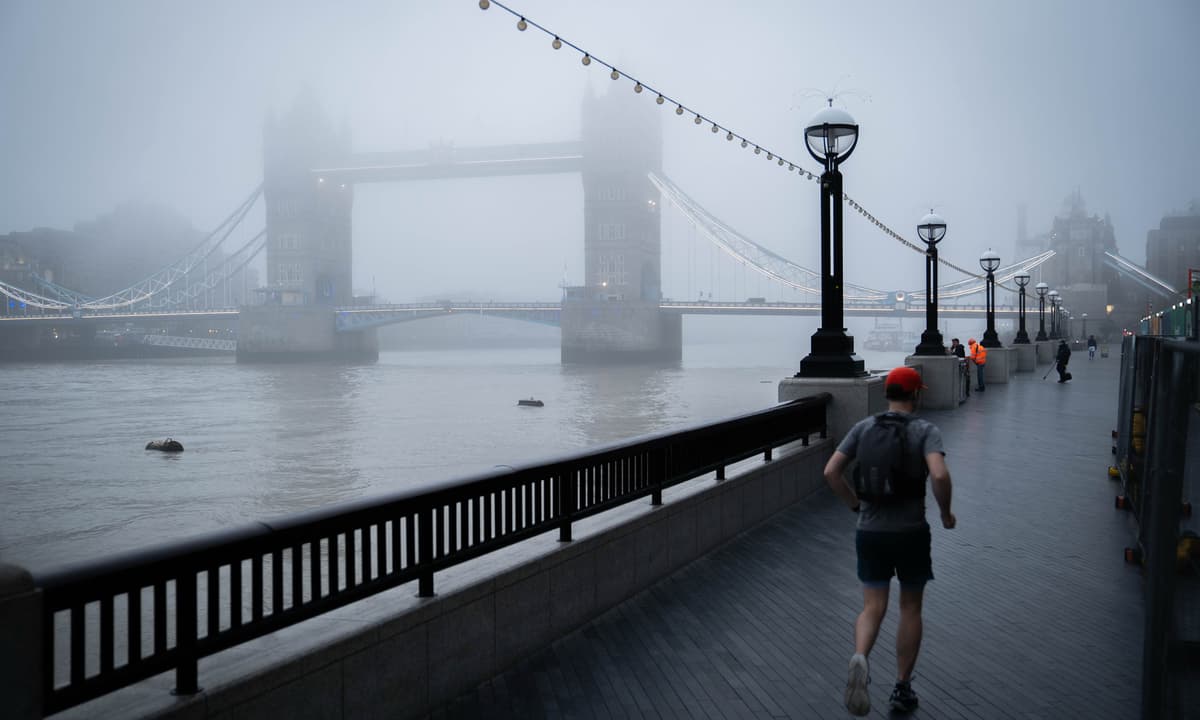
Londoners have been warned of dangerously high levels of air pollution this week, with online data showing that levels could result in “serious health effects”.Periods of dense fog combined with low wind allowed harmful particles to build up across the capital, with a high air pollution alert in effect in London on Tuesday on advice from forecasters at Imperial College London.Vulnerable residents in particular were urged to take care, in the fourth high air pollution alert issued by Mayor Sadiq Khan so far this year.Forecasters say that smoke from Bonfire Night and Diwali fireworks, as well as wood burning, are likely to have contributed to the high levels.Fog shrouding the London EyeAFP/GettySince Tuesday, levels have fallen across the capital - but some parts of London still have levels which could cause moderate health concerns for people who are unusually sensitive to air pollution. An interactive map, created by the World Air Quality Index Project, is a real-time source of air quality information across the city. The site, which covers major cities around the world, collates data from more than half a million air quality monitoring stations across the planet, in a bid to raise awareness of air pollution.According to the site’s data, between Sunday and Tuesday, much of the capital was in the “unhealthy” zone - meaning everyone could begin to experience health effects, and members of sensitive groups could experience more serious health effects.The site suggests that active children and adults, and people with respiratory disease, should avoid prolonged outdoor exertion during such conditions.Air Quality Index scores recorded in London this weekWorld Air Quality Index Project,Much of London was in the 'unhealthy' zone earlier this weekWorld Air Quality Index Project,Some London boroughs were covered by the highest levels of pollution, according to air pollution maps provided by the Apple Weather app. The City of Westminster, Wandsworth, Lambeth, Merton, Ealing, Brent, Tower Hamlets, Greenwich and Bexley were all rated 10 earlier this week, with most of the other boroughs being rated 8 or 6, including Croydon, Richmond upon Thames and Kensington and Chelsea.North London had somewhat clearer air, according to the maps, with boroughs including Haringey and Enfield mainly being rated 2 or 4. A map of air pollution in London from earlier this weekApple WeatherParticularly foggy conditions caused disruptions at London's airports on Monday, with several flights from Heathrow and London City airports cancelled.Read MoreLord Khan encouraged Londoners to help reduce pollution by walking, cycling or using public transport where possible, avoiding unnecessary car journeys and refraining from burning wood or garden waste. Information was also shared with GPs and emergency departments across the capital to help them support vulnerable patients.The Deputy Mayor for Environment and Energy, Mete Coban said: “Toxic air is responsible for thousands of premature deaths in London each year, which is why the Mayor has done everything in his power to tackle it, which includes launching the world’s largest clean air zone. “It is really important we all do our bit to protect those who are most vulnerable as we continue working to build a safer and greener London for all.”
How much air pollution is in your London area? Interactive map gives real-time level amid weather alert
Full Article
Original Source
Read the full article at Standard →KhanList aggregates and links to publicly available news content. We do not host full articles from third-party sources. Always verify important information with original sources.