
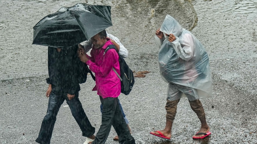
Rain is set to remain active across several parts of India on Sunday, September 13, with the India Meteorological Department (IMD) warning of heavy to very heavy rainfall in multiple states.The biggest concern, however, is Gujarat, where isolated places could receive extremely heavy rainfall.Other areas likely to see intense spells include parts of Madhya Pradesh, Maharashtra and Rajasthan, while Delhi-NCR is also expected to receive heavy rain. A commuter wades amid monsoon rain, in New Delhi. (Photo: PTI) The forecast is based on the IMD's forecast issued on Saturday, September 12. GUJARAT FACES STRONGEST WARNINGGujarat is likely to see the most intense weather on Sunday.The IMD has forecast heavy to very heavy rainfall at isolated places over the Gujarat region, with extremely heavy rainfall also possible at isolated places. A satellite image shows the weather systems over the Indian subcontinent. (Photo: IMD) Heavy to very heavy rain is also expected over Saurashtra and Kutch, while Gujarat, parts of Maharashtra, Marathwada and parts of Madhya Pradesh could see thunderstorms accompanied by lightning and gusty winds.The IMD has also forecast heavy rain over Konkan and Goa, Vidarbha and East Rajasthan.WILL IT RAIN IN DELHI-NCR?The rain is not expected to be confined to just western and central India.Haryana, Chandigarh and Delhi are also likely to receive heavy rainfall at isolated places on September 13. A satellite image shows the weather systems over the Indian subcontinent. (Photo: IMD) Uttarakhand, Punjab and several northeastern states, including Arunachal Pradesh, Assam and Meghalaya, Nagaland, Manipur, Mizoram and Tripura, are also on the list for isolated heavy rain.Coastal regions of Andhra Pradesh and Telangana are expected to see heavy rain as well, with a thundersquall, or a sudden strong burst of winds linked to a thunderstorm, possible over coastal parts of Andhra Pradesh.WHAT IS DRIVING THE RAIN?A low-pressure area over south Chhattisgarh and nearby areas is playing a key role in the changing weather.According to the IMD, the system is expected to move west-northwestwards across south Chhattisgarh and Vidarbha during the next 24 hours.This system is part of a broader monsoon setup, with the monsoon trough extending from Rajasthan through central India towards the Bay of Bengal.As the low-pressure system moves inland, it can help pull moisture into central and western parts of the country, triggering showers and thunderstorms.The weather system is therefore expected to keep rainfall active across several regions through the middle of September, rather than bringing a quick end to the current spell.- EndsPublished On: Sep 12, 2026 19:30 IST
Heavy rain to hit several states on Sunday, Gujarat faces extreme risk
Full Article
Original Source
Read the full article at Indiatoday →KhanList aggregates and links to publicly available news content. We do not host full articles from third-party sources. Always verify important information with original sources.