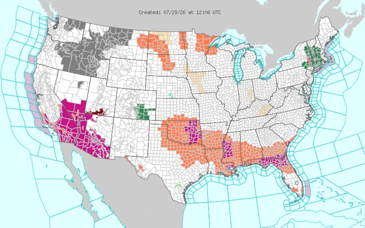
WeatherHot and sticky conditions are again in the forecast for Alabama on Wednesday. Above are the forecast high temperatures.National Weather ServiceIntense July heat will hang around Alabama on Wednesday, and heat advisories are continuing in some spots.And areas along the coast will be under extreme heat warnings for another day.The National Weather Service also thinks isolated severe storms will be possible starting in the afternoon for those in the southern part of the state.Damaging winds and hail will be possible with the strongest of those.Here’s a look at what to expect on Wednesday:Heat advisoriesThe Alabama counties in orange will remain under heat advisories on Wednesday.NWSAn extreme heat warning will remain in effect for areas in coastal Mobile and Baldwin counties today, according to the weather service. The heat index could peak as high as 115 degrees in those spots this afternoon.The rest of the southern half of Alabama will remain under heat advisories at least one more day.The weather service is forecasting high temperatures in the 90s for most of the state today.South Alabama will again reach the mid- to upper 90s.Areas in the northern half of the state will be in the lower 90s, which is closer to average for this point in July.Still, when the humidity is added in, the heat index will peak at 100 degrees or higher for many spots this afternoon:Here is the forecast for the "feels like" temperatures on Wednesday,NWSSevere storms possibleSouth Alabama will also face the possibility of isolated severe storms today.The weather service is forecasting a Level 1 out of 5 (marginal) risk for the southeastern part of the state today:Areas in green above have a Level 1 out of 5 risk for severe weather.NWSThe weather service said wind gusts as high as 60 mph and large hail would be possible.The time frame for severe storms will be from around 3 p.m. until midnight.More storms possible ThursdayIsolated severe storms will be possible on Thursday in the areas in green.NWSThe possibility of isolated severe storms will persist into Thursday as well.There will be another Level 1 out of 5 risk on Thursday, and this time it will include all of south Alabama. Damaging winds will again be possible during the afternoon and evening hours.Heat levels coming down - a littleThe weather service expects the hotter-than-average temperatures to back off a bit going into the end of the week.Forecasters expect it to continue to be hot and sticky, but extreme heat is not expected.Highs will be in the upper 80s and lower 90s through the first part next week.Expect higher rain chances statewide on both Saturday and Sunday.Leigh Morgan is an Alabama native. She has written about weather for AL.com since 2013 and has been a weather nerd since Hurricane Frederic slammed into the Alabama coast in 1979. She started out in journalism...
Heat advisories and isolated severe storms threaten Alabama today
Full Article
Original Source
Read the full article at Al →KhanList aggregates and links to publicly available news content. We do not host full articles from third-party sources. Always verify important information with original sources.