
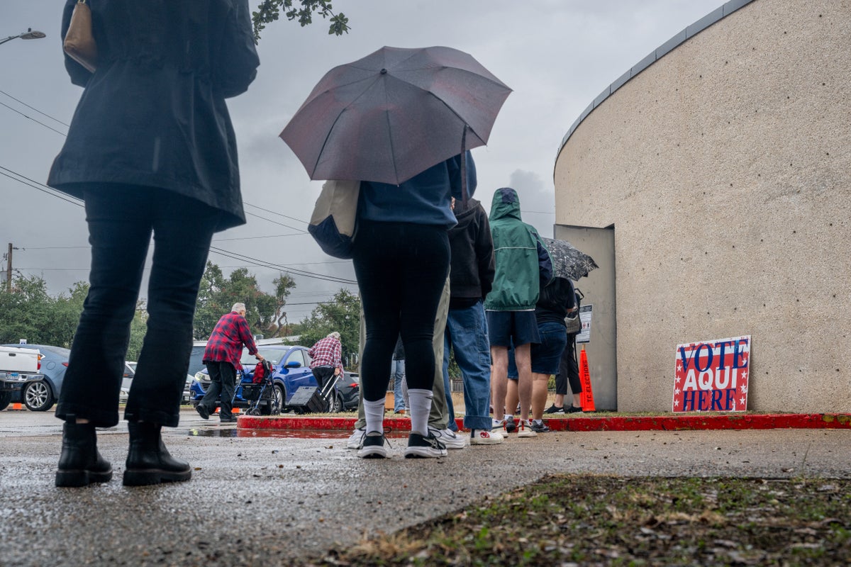
While over 50 million Americans have voted in this year’s midterm elections, millions more will head to the polls on Tuesday.Though much of the U.S. is expected to see calm weather conditions, stormy weather is forecast across the South and central states - and it could have an impact on turnout. “The biggest weather concerns will be concentrated across the central and southern United States, where showers, steady rain and thunderstorms will stretch from the Gulf Coast into portions of the Mississippi Valley and Midwest,” Brandon Buckingham, an AccuWeather meteorologist, wrote in a post.Most polling places are open in the rain, but more severe weather can lead to last-minute site changes and poor turnout in people who only occasionally vote.Record flooding is already threatening Florida’s space coast on Monday, with storms dumping five to 15 inches of rain between Melbourne to Fort Pierce, according to the National Weather Service. So, what should people anticipate? Here’s what the experts say:Voters wait in line to cast their ballot at a polling station on October 29, 2026 in Austin, Texas. Unsettled weather is forecast in the central and southern US on election day (Getty Images)The SouthFlorida, which is seeing flooding Monday, is set to be hit by more storms on Tuesday afternoon before 3 p.m. and after 5 p.m., Lissette Gonzalez, a meteorologist with CBS News Miami told the Miami Herald.Though, the storms aren’t supposed to be quite as rain-laden.“Thankfully, it is not looking quite as wet,” she said.Some showers are also forecast in neighboring states, including coastal South Carolina and Georgia.In the Southwest - where severe flooding has threatened residents in Arizona, New Mexico and Colorado - drier weather returns on Tuesday.“However, the departure of the rain does not necessarily mean all weather-related problems will be behind residents. Flash flooding and runoff over the weekend could have caused road washouts and closures, with cleanup efforts potentially continuing into Tuesday,” Buckingham said.The Central US and Tornado AlleyAn AccuWeather map shows the areas at risk fo severe thunderstorms across the central US (AccuWeather)The worst weather on Tuesday is forecast from the Gulf Coast stretching into the Midwest and interior South. That means areas from Louisiana and Mississippi up into Iowa and Illinois could see severe thunderstorms that spawn tornadoes, hail, flash flooding and wind gusts up to 75 mph, AccuWeather says. In Missouri, showers are set to move into the region late Monday, the National Weather Service in Springfield said.Missouri is one state included in a stretch known as Tornado Alley, due to the frequency of the storms there. Similar threats are expected Tuesday in other parts of the area, including Arkansas and Texas. Though the primary threat in Arkansas will be winds up to 60 mph, Justin Condry , a meteorologist with the National Weather Service in Little Rock, told the Arkansas Democrat-Gazette."It is likely that they would be very small tornadoes embedded in the main line, if there are any," he said. In Texas, the main threat is rain, with a cold front bringing showers and storms in the Houston area.The PlainsNearby, the Plains states are largely projected to be quiet and dry - though winds are still a concern. “While the wind could make conditions uncomfortable at times, widespread precipitation is not expected to interfere with Election Day activities,” said Buckingham.There could be some rain and snow in the Dakotas and wind advisories were issued Monday.“The higher elevation northern Black Hills region should see a transition to snow this afternoon with some accumulating snow possible through Tues morning,” the Rapid City National Weather Service office said.An AccuWeather map shows weather conditions across the US on election day. The coasts are expected to have mild or warm temperatures and little rain (AccuWeather)The West and East CoastsThe U.S. coasts will largely be dry this Tuesday, with some showers in northern California.The rain could lead to slick travel conditions and longer-than-normal commutes, the National Weather Service in Sacramento said.But precipitation is not expected throughout Southern California, the Pacific Northwest, and thousands of miles away along the Northeast, New England and Mid-Atlantic coasts.Temperatures will be slightly above the seasonal average, too. Temperatures are forecast in the high 60s and 70s in major metros and smaller cities. “Election Day is looking great!” meteorologist Brandon Stover wrote. “After a cool start with patchy valley fog, expecting plenty of sunshine with warm temps getting close to 80 degrees!”
Heading to the polls? Here is what you can expect from the weather on election day
Full Article
Original Source
Read the full article at Independent →KhanList aggregates and links to publicly available news content. We do not host full articles from third-party sources. Always verify important information with original sources.