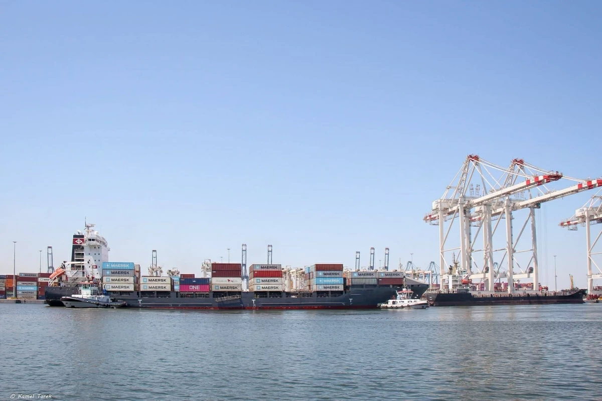
The fire that broke out aboard two FSRUs (Floating Storage and Regasification Units) at Damietta Port was not merely a passing incident; rather, it quickly turned into a regional event that drew worldwide attention—especially after the Cabinet announced that preliminary investigations indicated the fire resulted from a drone attack, while simultaneously emphasizing that investigations remain ongoing and that no official accusations have been directed at any state or organization. While no group has claimed responsibility for the attack, the incident has opened the door to broad questions regarding its security and political implications, as well as its degree of connection to the military escalation unfolding across the Middle East—particularly given that the attack targeted a facility directly linked to Egyptian energy security and gas flows in the Eastern Mediterranean. Damietta Port: A Location Beyond Geography Damietta Port sits on Egypt’s northern coast at the heart of the Eastern Mediterranean, a location that grants it exceptional significance as a crossroads for international shipping lanes and regional energy networks. The port’s importance is not limited to its function as a commercial hub; it also houses infrastructure dedicated to receiving and regasifying natural gas. This makes it an integral component of the energy system Egypt relies upon to meet domestic demand and reinforce its status as a regional gas trading hub. Energy security studies indicate that facilities tied to gas production, reception, or processing have become, in recent years, among the most sensitive targets in conflict zones. Modern warfare has demonstrated that targeting energy infrastructure can achieve economic and political impacts that sometimes exceed the effects of striking traditional military sites. Geographic Framework of the Incident Geographically, Damietta Port enjoys a position relatively close to several Eastern Mediterranean nations, while separated by larger distances from other countries in the region. This location places the port within a complex geopolitical environment where international and regional interests concerning energy, navigation, and maritime security intersect. Approximate direct distances to Damietta, according to the geolocation platform Google Earth, are as follows: Israel: 250–450 km Libya (Eastern Libya): 900–1,200 km Syria: 550–750 km Iraq: 950–1,200 km Yemen: 1,700–2,200 km Iran: 1,500–1,900 km These figures vary slightly depending on the assumed launch point, yet they are sufficient to evaluate operational feasibility and raise the pressing question: where did it come from? Israel From a technical standpoint, the distance is very short—estimated at roughly 250–450 km—compared to the capabilities of most modern military drones. According to a research paper published by the Washington Institute for Near East Policy, Israel possesses strategic drones capable of executing long-range missions via satellite communications, with the average range of strategic aircraft estimated at around 1,000 km or more depending on the mission and control system. However, the political analysis is far more complex; Netanyahu’s clear desire to expand the circle of conflict has been reflected in public moves, actions, and statements, even though Al Arabiya TV reported that the Israeli military denied targeting the port. Libya and Syria Damietta Port lies approximately 700–1,200 km from eastern Libya—a distance within the range of certain long-range drones. However, one cannot speak of a unified “state capability” given that the available drones vary depending on the controlling faction and the foreign operator, though most operationally deployed drones fall within the 150–300 km range. As for Syria, it sits roughly 550–750 km from Damietta Port, but the flight path would require crossing or nearing heavily monitored airspace, significantly increasing operational complexity. Iraq The distance between Damietta Port and Iraqi airspace is estimated at 950–1,200 km, making reach possible only through long-range drones. According to a recent study by the International Institute for Strategic Studies (IISS), Iraq is not classified among nations possessing an advanced domestic drone manufacturing or national program—unlike Iran, Israel, and Turkey—and capability developments in the region rely primarily on imports or foreign support rather than local R&D. Furthermore, operational use within Iraq is heavily tied to factions supported by Iranian technology rather than the Iraqi military itself. As highlighted by the “Missile Threat” project—which monitors military activity, particularly Iranian drone capabilities in the region—certain Iraqi factions continue to maintain ties to Iranian-designed drones from the “Shahed” family, alongside reports detecting Iranian models inside Iraq. Iran The distance between Iran and Damietta Port is substantial, estimated at 1,500–1,900 km. Reaching the target would require extremely long-distance flights while maintaining strike precision, in addition to traversing or bypassing monitored air and maritime spaces belonging to multiple countries before reaching the port. Iran possesses extensive long-range drone programs with average ranges spanning 1,200–2,000 km. However, Iranian Foreign Minister Abbas Araghchi issued media statements denying any targeting of Egypt, underscoring Tehran’s respect for Cairo’s sovereignty. Yemen The distance between Damietta Port and Yemen (specifically Houthi-controlled areas) represents the longest route, measuring roughly 1,700–2,200 km. While the Houthis have claimed long-range attacks on previous occasions, reaching Damietta entails traversing a vast distance over the Red Sea, followed by the Suez Canal, or navigating alternative detour routes—a scenario that is far more operationally complex. Therefore, simply possessing a long-range drone does not automatically make this the most likely scenario. For its part, the Houthi-run Ministry of Foreign Affairs denied responsibility for the attack via the Yemeni news agency Saba. What Has Egypt Announced? In the initial hours, the Ministry of Petroleum and Mineral Resources announced that a fire had broken out aboard two vessels, confirming that emergency teams successfully contained the blaze, prevented its spread, and recorded zero casualties. By yesterday morning, the Cabinet announced in a statement that preliminary investigations revealed the fire resulted from a drone attack. However, it emphasized that investigations remain ongoing and stopped short of attributing responsibility to any party—reflecting the authorities’ caution against preempting technical and security investigation outcomes. The government also affirmed the continuation of measures aimed at safeguarding critical infrastructure and securing ports and energy-related facilities. A Highly Complex Regional Context The attack occurred at a time when the Middle East was witnessing escalating military and political tensions, accompanied by ongoing cross-border strikes across multiple regional theaters. These developments have prompted several think tanks to warn that energy infrastructure has become increasingly vulnerable amid the expanding use of drones and long-range missiles in regional conflicts. Meanwhile, regional security researchers believe that the expanding scope of conflict heightens the risk of energy facilities, ports, and civilian infrastructure facing indirect threats—even in countries not directly party to the conflicts—imposing additional challenges on critical infrastructure protection systems.
Geographical analysis reveals attack scenarios on Egypt’s Damietta Port
Full Article
Original Source
Read the full article at Egyptindependent →KhanList aggregates and links to publicly available news content. We do not host full articles from third-party sources. Always verify important information with original sources.