
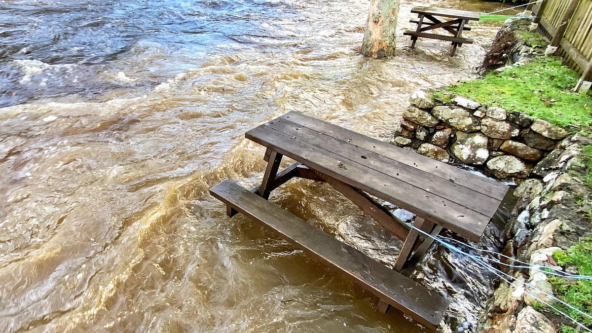
Published: 07:09 EST, 22 November 2026 | Updated: 07:11 EST, 22 November 2026 Flooding is expected to hit parts of the UK due to a slow-moving band of heavy rain that has prompted forecasters to urge caution in the 'treacherous' conditions.A yellow rain warning is in place over the South West, including Exeter, Plymouth and Cornwall for the rest of the day.Up to 100mm of rainfall could cascade onto Dartmoor in particular throughout Sunday, the Met Office warned.More than 25 areas in England have been identified as at risk of possible floods by the Environment Agency, with flooding expected in the south Devon coast at Beesands, Torcross, Slapton and Dawlish. In a post on social media, the Met Office said heavy rain has set in across south-west England.'Take extra care if you are travelling today as conditions will be treacherous at times,' the forecaster added.Meteorologist Greg Dewhurst said: 'We're in a bit of a slow-moving weather pattern at the moment so this weather front isn't going to go anywhere very quickly.'We're expecting some very heavy rain across parts of Devon and Cornwall in particular, for a Met Office yellow rain warning in force for much of the day. Dartmoor will be hit particularly hard by the rain (file photo). High water at torrential River Teign at Fingle Bridge in January 2023 For the rest of the country, a frosty start should give way to a dry day with some sunny spells The Met Office issued a yellow rain warning for parts of the South West from 6am on Sunday to last the entire day. It covers areas Exeter, Plymouth and Cornwall The Met Office has produced a rain map showing a slow-moving band of heavy rain hitting the South West throughout the day'So, there could be some localised disruption as we move through the day ahead.'Looking at the rainfall totals for today, widely across Devon and Cornwall we could see 40mm or so, locally in the south 60mm and perhaps as much as 80mm to 100mm across Dartmoor in particular.'This is likely to lead to some flooding disruptions, so it is worth staying up to date to our warnings as we go through the day ahead as we are expecting some local flooding over the course of the day.'For the rest of the country, a frosty start should give way to a dry day with some sunny spells.Overnight, a widespread frost is expected across northern and eastern areas, with temperatures in rural parts potentially dropping to minus 5C.The deluge over the South West will start to ease in the early hours of Monday, and it should go on to be a drier day for the region, the Met Office said.The UK saw its coldest night since January 9 overnight on Friday as a low of minus 10.6C was recorded at Tulloch Bridge in the Highlands.It comes after the first snow warning of the season, with more than an inch recorded in parts of northern England earlier in the week.A yellow cold health alert is in force for the North West, North East and Yorkshire and the Humber until 9am on Tuesday.The alert means weather conditions could lead to an increased use of healthcare services and a greater risk to life for vulnerable people, the UK Health Security Agency said.
Flooding set to hit parts of Britain with up to four inches of rain set to fall in one day - as Met Office issues warning after coldest night since January
Full Article
Original Source
Read the full article at Dailymail →KhanList aggregates and links to publicly available news content. We do not host full articles from third-party sources. Always verify important information with original sources.