
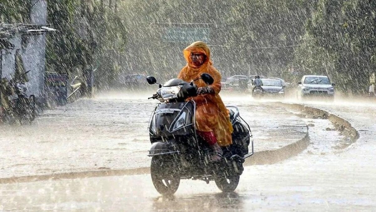
Several parts of eastern and northeastern India are likely to see heavy rain on Thursday, September 10, with one state facing the strongest spell, according to the India Meteorological Department (IMD).Additionally, the weather system over the Bay of Bengal is also expected to become more organised.The IMD said an upper-air cyclonic circulation over the north Bay of Bengal and adjoining Bangladesh coast persists and extends up to 5.8 km above mean sea level.Under its influence, a low-pressure area is likely to form over the north Bay of Bengal and neighbourhood on September 10. People shield themselves from the rain during heavy rain showers. (Photo: PTI) ONE STATE AT RISK OF EXTREME RAINFALLThe one state facing heavy rainfall on Thursday, September 10, is Odisha.Odisha is expected to receive heavy to very heavy rainfall at isolated places, with extremely heavy rainfall also possible at isolated places on September 10. The IMD has also forecast isolated heavy rain over Assam and Meghalaya, Bihar, Chhattisgarh, Gangetic West Bengal, Jharkhand, Kerala and Mahe, Nagaland, Manipur, Mizoram and Tripura, and Uttarakhand. Vehicles wade through a waterlogged road following heavy rainfal. (Photo: PTI) The weather forecast by the IMD suggests that Odisha will continue to see fairly widespread rain through September 13, while Gangetic West Bengal and Jharkhand are expected to remain wet during the next few days.THUNDERSTORMS IN SEVERAL STATESRain will not be the only weather feature in the days ahead.The IMD has forecast thunderstorms accompanied by lightning and gusty winds of 40-50 kmph, with gusts up to 60 kmph, at isolated places over Andhra Pradesh, Gangetic West Bengal, Odisha and Tamil Nadu, Puducherry and Karaikal.Bihar, Jharkhand, Sub-Himalayan West Bengal and Sikkim, and Telangana could see thunderstorms with lightning and winds of 30-40 kmph. Lightning streaks across the sky over buildings during rain and thunderstorm. (Photo: PTI) Lightning is also likely over several areas, including East Uttar Pradesh, Madhya Pradesh, Chhattisgarh, Uttarakhand and parts of the Northeast.The weather will be accompanied by strong surface winds that are likly in isolated places across Andhra Pradesh and Telangana.WHAT IS BEHIND THE WEATHER?The developing low-pressure area over the north Bay of Bengal is the key feature to watch as the monsoon remains active over eastern India. A satellite image shows the system brewing in the Bay of Bengal. (Photo: IMD) The IMD said the monsoon trough currently runs from Jammu through Dehradun, Pantnagar, Basti, Chapra, Purulia and Digha before extending towards the eastcentral Bay of Bengal.Another trough stretches from Rayalaseema to the Gulf of Mannar across Tamil Nadu.Together with the developing Bay of Bengal system, these features are supporting rainfall across several parts of the country.- EndsPublished On: Sep 9, 2026 19:30 IST
East and Northeast India to see heavy rain on Thursday amid monsoon pause
Full Article
Original Source
Read the full article at Indiatoday →KhanList aggregates and links to publicly available news content. We do not host full articles from third-party sources. Always verify important information with original sources.