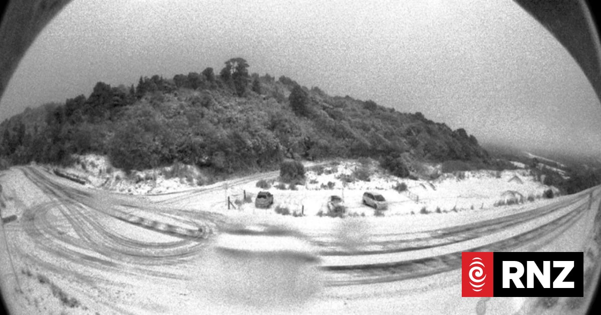
Plunging temperatures have arrived overnight for much of the country - but the worst is still to come.State Highway 87 between Outram and Middlemarch in Otago was closed by snow on Monday night.Meanwhile, SH1 is closed in Dunedin from Pine Hill Road to Leith Valley Road due to heavy snow.And SH75 - the road between Christchurch and Akaroa - is shut between Tai Tapu and Duvauchelle.Do you have snow where you are? Send your pictures and stories to: iwitness@rnz.co.nzMetService meteorologist Ethan Walton-Jones said snow would be falling across the country."In Otago and Canterbury, we're expecting flakes falling right down into the town levels, and then further north, all the way up as far as Gisborne, we'll have a fresh frosting of snow up on the hills."Snow at Port Chalmers Container Terminal on Tuesday morning.Supplied / Port OtagoSnow warnings for parts of the North Island began from 4am Tuesday morning - including Desert Road and Remutaka Hill Road between Wellington and Wairarapa."For all the Crown Range Road, the Dunedin - Waitati Highway, Porters Pass, Lewis Pass and the Remutaka Hill Road. But we're also expecting more of the road snowfall," Walton-Jones said.Snow showers are expected on Remutaka Hill Road, with up to 6 centimetres accumulating near the summit.Heavy snow on Summit Road in Christchurch.RNZ / Nathan MckinnonA heavy swell warning has also started for the Wairarapa area, from Ngawi to Flat Point.Most Cook Strait ferry sailings are cancelled this morning, due to forecast high winds and large swells.Interislander has cancelled all of its sailings, and Bluebridge has done the same except for two services earlier this morning.Wellington's Harbourmaster Grant Nalder said the swell is forecast to reach between 5 and 9 metres at its peak around midday, while Walton-Jones said waves of up to six metres are expected this morning.Nalder said swells would not be as bad as some recent storms Wellington has had, but rough enough to cause disruption.It's going to get colderSpeaking to Morning Report, MetService meteorologist Alwyn Bakker said parts of the South Island had got to -1 or -2C overnight but it wasn't "too cold".The "real excitement" would be Tuesday night into Wednesday when it was going to get even colder.Parts of the South Island would reach -3 or -4C - with Christchurch expected to get down to -5C."That's pretty darn cold," Bakker said.Snow was also expected as far north as the ranges of Gisborne, as well as around Wellington, Canterbury and Marlborough.Moving through the week, Bakker said the bitterly cold weather was even likely to see Auckland frost from Wednesday into Thursday.Taumaranui in Waikato was a "stand out" - expected to get to -6C - although people there were "built a bit tougher".Thursday into Friday would also be cold, she said.
Drivers warned about snow on roads in South Island, Cook Strait ferries cancelled
Full Article
Original Source
Read the full article at Rnz →KhanList aggregates and links to publicly available news content. We do not host full articles from third-party sources. Always verify important information with original sources.