
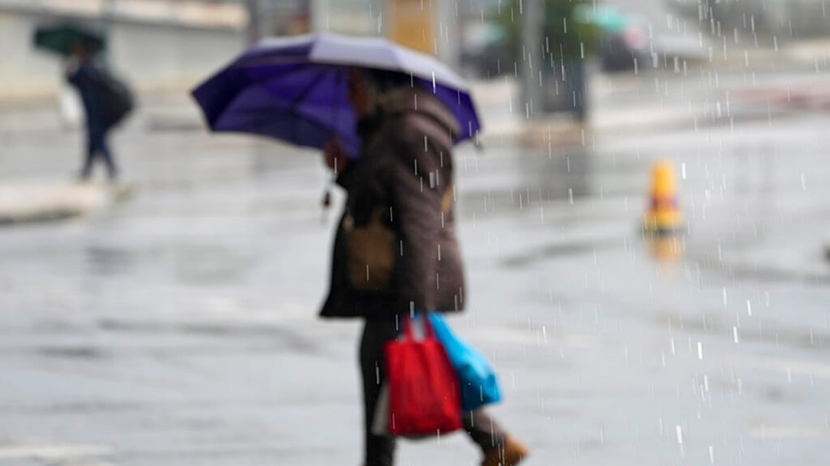
Two storms, Charles and Bruna, are expected to bring a sharp turn in the weather to Portugal, hitting the Atlantic archipelago of Madeira from late on Tuesday and the mainland throughout Wednesday. ADVERTISEMENT ADVERTISEMENT The Portuguese government has issued a warning on social media. “Only go out if it is really necessary”, it said, “especially during peaks of rain and wind”. Anyone who has to drive should do so “with maximum caution”. The authorities also advised people to keep torches or another source of light and charged devices such as power banks close at hand. Portugal’s weather service, the Instituto Português do Mar e da Atmosfera (source in Portuguese) (IPMA), has issued orange warnings for rain, wind and rough seas in several mainland districts. They are Lisbon, Évora, Faro, Setúbal, Santarém, Leiria, Beja and Castelo Branco. IPMA said the effects of Charles were expected to be felt on the mainland from late Tuesday morning, with rainfall “at times heavy over most of the territory”. Gusts could reach 120 km/h and waves up to six metres. Red warning in Madeira In Madeira, a red warning, the highest level, is in force for the mountains and the south coast from 9pm on Tuesday until 6am on Wednesday. It will then drop to orange until 9am. Madeira’s north coast is under an orange warning from 9pm to 9am, and the neighbouring island of Porto Santo is under a yellow warning for the same period. IPMA is forecasting rain or showers from Tuesday afternoon, at times heavy and persistent, and possibly thunderstorms. Winds could reach 130 km/h on high ground, and waves on the south coast could reach 4.5 metres. The government warned of the risk of flooding, landslides, collapsing structures, falling trees and objects, and accidents on the coast. Power and communications could be cut at times. How to prepare The government is urging people to clear drains, gutters and channels of water and debris so they do not get blocked, and to remove anything else that could stop water flowing away. People should stay away from rivers, streams and places that have flooded before. The government warns that “water hides holes and open manholes and can sweep away people and cars”. Beaches, cliffs, breakwaters, piers, riverbanks and anywhere else water could overflow are also dangerous. Drivers are advised not to park in flood-prone areas, in underground car parks or under trees. Scaffolding and other structures that could fall should be properly secured. The government also warned that drainage systems will not be able to cope with the amount of rain expected, so several places, including towns and cities, will flood. 130 incidents in Lisbon overnight Lisbon’s fire brigade, the Regimento de Sapadores Bombeiros (RSBL), dealt with 130 weather-related incidents between midnight and 6am on Tuesday. Most involved flooding in homes and public spaces, and none caused significant damage. “We had some situations with roads closed in the area of the Segunda Circular, in Campo Grande, and in Prior Velho and Olivais, but these have already been resolved”, a source from the brigade told Portuguese news agency Lusa. Three trees also came down, without harming people or property. Portugal’s National Authority for Emergency and Civil Protection (ANEPC) was due to give an update on the storm’s effects at a press conference at 8:30am on Tuesday.
Depression Charles to hit Madeira and Portugal as government urges maximum caution
Full Article
Original Source
Read the full article at Euronews →KhanList aggregates and links to publicly available news content. We do not host full articles from third-party sources. Always verify important information with original sources.