
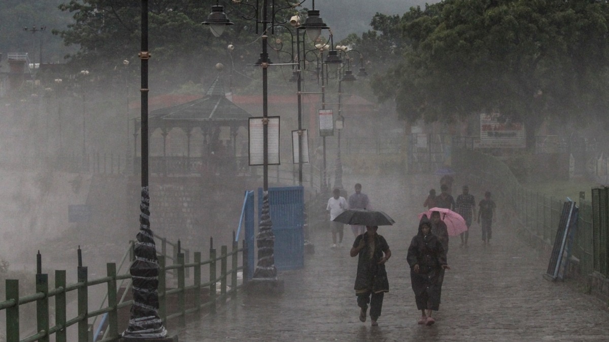
North India is not done with the rain yet.A low-pressure system is moving north from Madhya Pradesh and Uttar Pradesh, setting the stage for another wet spell across Delhi-NCR, Haryana, western Uttar Pradesh and Uttarakhand, with the capital likely to see more showers over the next 24 hours. A vehicle wades through a waterlogged road after heavy rain, in Delhi. (Photo: PTI) The India Meteorological Department (IMD) had forecast fairly widespread rain, accompanied by thunderstorms and lightning, over Haryana, Chandigarh and Delhi on Saturday, September 5.Isolated heavy rain is also likely over these areas, along with Punjab and western Uttar Pradesh, on September 5 and 6. Uttarakhand, meanwhile, is likely to remain wetter for longer, with widespread rainfall and isolated heavy spells expected to continue over the coming days. A satellite map showing the weather system over north India. (Photo: Navdeep Dahiya) ANOTHER WET DAY FOR DELHI-NCRFor Delhi and its neighbouring areas, the forecast points to cloudy skies and spells of light to moderate rain, with heavier showers possible, particularly during the afternoon and evening. Eastern Haryana and parts of western Uttar Pradesh are likely to experience similar conditions. A satellite image illustrated to highlight the weather system. (Photo: Windy) In Uttarakhand, prolonged rainfall remains a concern, with the possibility of flash floods and landslides in vulnerable areas.The fresh spell comes after recent rains disrupted normal life in Delhi-NCR, causing waterlogging and traffic snarls in several parts of the region.Cloudy and rainy conditions are also likely to keep temperatures relatively subdued.WHY IS NORTH INDIA GETTING MORE RAIN?The main weather trigger is the low-pressure area over northwest Madhya Pradesh and adjoining southwest Uttar Pradesh.The system is helping draw moisture into the region, while its interaction with the monsoon circulation is generating widespread cloud development and rainfall.The active monsoon pattern is particularly significant as September marks the latter phase of the southwest monsoon.Although rainfall generally begins to decline as the season progresses, low-pressure systems can still bring intense spells of rain over parts of north and central India.HILLS TO REMAIN WETTER THAN PLAINSRain activity over the plains is expected to gradually ease from September 6, although Uttarakhand could continue to receive widespread rainfall for longer.For residents across the affected areas, the immediate concern will be waterlogging, slower traffic and localised disruption during intense showers.In the hills, the prolonged wet spell could increase the risk of landslides and flash flooding.The IMD's latest forecasts and local weather advisories will remain important as the system moves northwards and the situation evolves.- EndsPublished On: Sep 6, 2026 07:30 IST
Delhi-NCR set for more rain as low-pressure system boosts monsoon
Full Article
Original Source
Read the full article at Indiatoday →KhanList aggregates and links to publicly available news content. We do not host full articles from third-party sources. Always verify important information with original sources.