
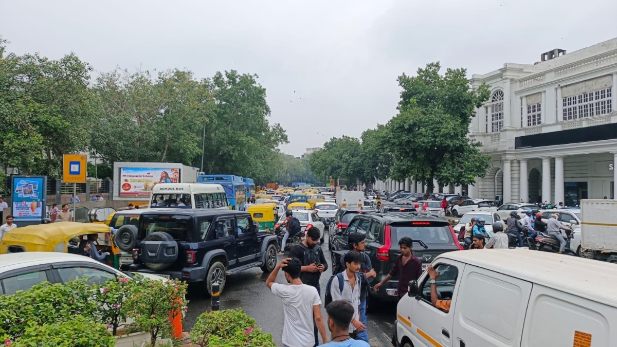
The Delhi government will study congestion and road safety across a 450-km road network. The findings will shape future road projects and public transport planning in the capital.Delhi to map traffic black spots, bottlenecks across 450-km road network. (Photo-ITG)The Delhi government will carry out a comprehensive traffic congestion study and a road safety audit across a 450-km road network in East, North East and parts of Central Delhi. The exercise will cover major intersections and arterial roads in some of the city’s most congested areas.Under the study, the Public Works Department will use AI-based traffic analysis, drone surveys and Automatic Traffic Counters and Classifiers to prepare a Traffic Simulation Model for the next 30 years. The digital counting system tracks the number and types of vehicles on roads, and the model will be used to forecast future traffic pressure and guide road planning.An official said, "The Traffic Simulation Model shall incorporate accident and road safety data to identify high-risk corridors and accident-prone locations (black spots) and contributing factors such as speeding, poor visibility, inadequate signage, unsafe turning movements, pedestrian conflicts, geometric deficiencies and other issues." Based on current congestion levels, the PWD plans to use the findings to frame policy for flyovers, underpasses, elevated corridors and other road interventions that may be needed over the next three decades.According to the plan, the infrastructure feasibility studies are meant to develop an integrated and sustainable mobility framework. This will also assess the performance and future demand of public transport corridors and recommend ways to improve public transport efficiency, reliability and ridership. The official added, "The model shall identify critical congestion points, recurring traffic bottlenecks, delayed corridors and intersections operating beyond acceptable. It shall assess causes of congestion such as inadequate road capacity, poor intersection geometry, on-street parking, mixed traffic movement, encroachments and inefficient signal operations." The study has been planned to address growing local and regional travel, which has increased pressure on road infrastructure and led to higher congestion, vehicle emissions and travel time.Officials said, "The traffic study will function as a decision-support system for integrated urban transport planning, enabling evidence-based interventions aimed at improving mobility, road safety, operational efficiency, accessibility and environmental sustainability." The PWD plans to hire a consultant for more than a year for the study at a cost of over Rs 3 crore and submit a report. In the first phase, the study will cover a 450-km network in the East Zone, including roads such as Vikas Marg, GK Enclave Road, Noida Link Road, Geeta Colony Road, Maharaja Agrasen Marg, Patparganj Road and Khichripur Road. At present, the PWD manages around 1,400 km of roads across Delhi, covering roads that are 60 feet wide and above. Overall, the study is intended to map congestion and road safety risks across key Delhi corridors, project future demand and support decisions on road and public transport improvements.- EndsPublished By: India Today Web Desk Published On: Aug 31, 2026 20:28 IST
Delhi govt plans 30-year traffic study to tackle congestion, black spots
Full Article
Original Source
Read the full article at Indiatoday →KhanList aggregates and links to publicly available news content. We do not host full articles from third-party sources. Always verify important information with original sources.