
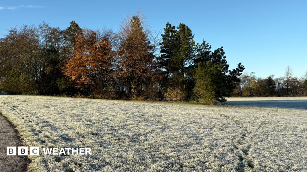
Cold health alerts begin as surge of Arctic air sees temperatures plummetImage source, BBC Weather Watchers / Crazy DaisyByBen RichLead Weather PresenterNortherly winds are sweeping across the UK, bringing cold air from the Arctic and some of the most widespread low temperatures of the autumn so far. Thursday afternoon's highs will remain in single digits for most whilst overnight lows will widely fall below freezing, potentially dropping to -7C.Strong winds will bring a significant wind chill, especially on northern and eastern coasts, so it will feel colder than the reading on the thermometer would suggest.Yellow cold health alerts from the UK Health Security Agency (UKHSA) have come into force.Whilst the cold weather will come with sunshine in most areas, showers will also feature in northern parts of the UK, some of which could be wintry over high ground.Which areas have cold health alerts?The first cold health alerts of the season cover the West Midlands and north-west England, external.They have been issued by the UKHSA, in association with the Met Office, and are valid from now until 12:00 on Saturday.The yellow alerts warn of minor impacts on the health and social care sector, with increased use of healthcare services by vulnerable people - who face a greater risk to life.Cold weather for allThe air affecting the UK on Thursday has come all the way from the Arctic. It is a relatively clear air mass meaning plenty of sunshine and far less of the mist and fog that has plagued some areas recently.Despite largely blue skies overhead, temperatures will struggle.Afternoon highs are expected to range from 6 to 10C and the wind chill will make it feel colder than that.Image caption, Temperatures will be a degree or two below the mid-November average for manyThe strongest winds will be in north-east Scotland where gusts will touch 50-60mph for a time. Blustery conditions will also affect the east coast of England and it will remain breezy elsewhere.Why does windchill make things feel even colder?Showers will be blown into northern Scotland, falling as a mix of rain, sleet and hail - with a little snow possible over high ground.This is not unusual for November as meteorological autumn draws into its final weeks.Scattered showers will also affect Northern Ireland as well as northern and eastern England although the majority of these will be of rain.Thursday night will be one of the most widely cold of autumn so far with temperatures forecast to drop below freezing in many areas.Image caption, The coldest spot could get down to -7C but there'll be a widespread frost across the UK on Friday morningAs well as a widespread frost, a few icy stretches are possible - especially in northern Scotland.Friday will bring more sunshine for many and generally lighter winds, although parts of northern Scotland will remain blustery.Showers are most likely in Northern Ireland, Wales, north-west England and Scotland, where cloud amounts will tend to increase during the afternoon.Slow changes over the weekendFriday night will deliver another frost for many areas and the weekend will stay generally chilly - although temperatures will gradually start to climb by a degree or two in both the day and night, as southerly winds develop.Morning fog will become more of a feature again by Sunday morning and as high pressure starts to give way to low pressure and frontal systems, chances of rain will increase.Next week looks more unsettled with stronger winds and rain at times.Temperatures will, generally, be a little higher but incursions of cold air could continue to bring some wintry weather over Scottish mountains.You can keep up to date with your local forecast by checking BBC Weather online and on the app.More on this story
Cold health alerts begin as surge of Arctic air sees temperatures plummet
Full Article
Original Source
Read the full article at Bbc →KhanList aggregates and links to publicly available news content. We do not host full articles from third-party sources. Always verify important information with original sources.