
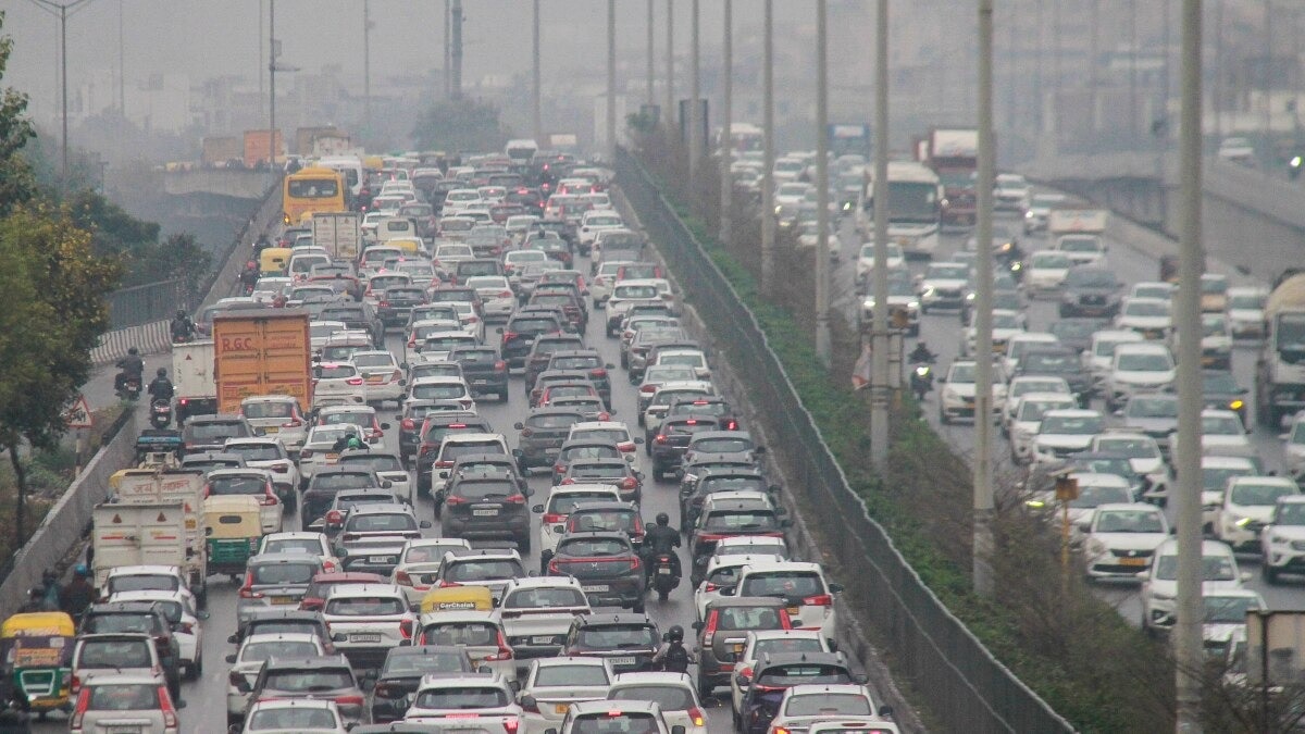
Traffic diversions and regulated movement will be in place from 11 am to 3 pm on September 1 for the BRICS Leaders' Summit 2026 motorcade rehearsal. The advisory map marks controlled roads, prohibited areas, alternative routes and diversion points.Traffic diversions and regulated movement will be in place from 11 AM to 3 PM on September 1 for the BRICS Leaders' Summit 2026 motorcade rehearsal.(File Photo: PTI)Traffic movement across key parts of New Delhi will be regulated on September 1, 2026, in view of the motorcade rehearsal for the 18th BRICS Leaders' Summit 2026.As per the traffic advisory, the rehearsal will take place between 11 am and 3 pm. The accompanying traffic map identifies controlled roads, prohibited areas, alternative routes and diversion points across New Delhi.Commuters have been advised to plan their journeys in advance, allow extra travel time and use public transport, especially the Metro.TRAFFIC TO BE REGULATED FROM 11 AM TO 3 PMDuring the four-hour rehearsal window, traffic movement will be regulated on roads marked as controlled roads on the advisory map. The controlled stretches shown on the map cover several important roads in and around the New Delhi area. These include Sardar Patel Marg, Mother Teresa Crescent, Kautilya Marg, Shanti Path, Satya Marg, Akbar Road, Rajesh Pilot Marg, Rafi Marg, Ashoka Road, Janpath, Barakhamba Road, Mathura Road and Dr Zakir Hussain Marg, among other stretches marked on the map.The map also shows controlled stretches around Patel Road, Ring Road, Sardar Patel Marg, Africa Avenue Road and roads connecting towards the central New Delhi area.ROUTES MARKED AS ALTERNATIVE CORRIDORS The traffic advisory map marks alternative routes in blue/purple around the controlled zone.Major roads visible as alternative corridors on the map include Ring Road, NH-48, Sardar Patel Marg, Vande Mataram Marg, Rao Tula Ram Marg, Africa Avenue Road and Mathura Road.The map also shows alternative movement around the wider New Delhi area through roads connecting West Delhi, South Delhi and the eastern side of the city, allowing traffic to bypass the areas marked for controlled movement.Commuters should follow the marked alternative routes according to their direction of travel and the instructions given by traffic personnel at the diversion points. BRICS Summit 2026: Delhi Traffic Police shares traffic route map on X ahead of September 1 motorcade rehearsal. PROHIBITED AREAS MARKED ON THE MAPThe map uses pink shading to identify prohibited areas.These areas are concentrated around parts of the central New Delhi zone and include stretches close to important locations and roads where movement will be restricted during the motorcade rehearsal.Motorists should avoid entering areas marked as prohibited during the period of regulated movement.DIVERSION POINTS MARKED ACROSS NEW DELHIThe advisory map identifies multiple diversion points with red star symbols and numbered markers.These points are spread across the controlled-road network, including areas around Patel Road, Ring Road, Sardar Patel Marg, central New Delhi, Rafi Marg, Mathura Road and other connecting roads shown on the map.Traffic personnel will guide commuters at these diversion points during the rehearsal.KEY ROUTES TO KEEP IN MINDThe map highlights several major corridors around the affected area. These include:Ring RoadNH-48Sardar Patel MargVande Mataram MargRao Tula Ram MargAfrica Avenue RoadMathura RoadPatel RoadRafi MargBarakhamba RoadJanpathAshoka RoadAkbar RoadRajesh Pilot MargDr Zakir Hussain MargShanti PathSatya MargKautilya MargThe map also marks roads and diversion points around the India Gate, National Stadium, Rajpath/Kartavya Path area, Connaught Place and other parts of central New Delhi.COMMUTERS ADVISED TO PLAN JOURNEYS IN ADVANCECommuters travelling through New Delhi during the rehearsal period have been advised to plan their journeys in advance and allow extra travel time.Those travelling through areas shown as controlled or prohibited on the map should use the marked alternative routes wherever applicable and follow instructions issued by traffic personnel.USE PUBLIC TRANSPORT, ESPECIALLY METROThe traffic advisory has advised commuters to use public transport, especially the Metro, during the period of traffic regulation.Using public transport can help commuters avoid road diversions and regulated movement during the motorcade rehearsal.EMERGENCY AND ESSENTIAL SERVICE VEHICLES TO GET PRIORITYAccording to the advisory provided, emergency and essential service vehicles will be provided priority passage during the traffic arrangements.Other motorists are advised to cooperate with traffic personnel and follow the directions given at the diversion points.CHECK THE MAP BEFORE STARTING YOUR JOURNEYThe traffic map provides a visual guide to the arrangements, with blue/purple lines representing alternative routes, orange lines representing controlled roads, pink areas representing prohibited areas and red stars representing diversion points.Commuters travelling through New Delhi on September 1 between 11 AM and 3 PM should check the affected corridors before leaving, keep additional travel time and, wherever possible, use the Metro or other public transport.The traffic arrangements are being put in place for the motorcade rehearsal ahead of the 18th BRICS Leaders' Summit 2026.- EndsPublished By: Chaitanya DhawanPublished On: Sep 1, 2026 09:02 IST
BRICS Summit 2026: Traffic diversions in Delhi on September 1, details here
Full Article
Original Source
Read the full article at Indiatoday →KhanList aggregates and links to publicly available news content. We do not host full articles from third-party sources. Always verify important information with original sources.