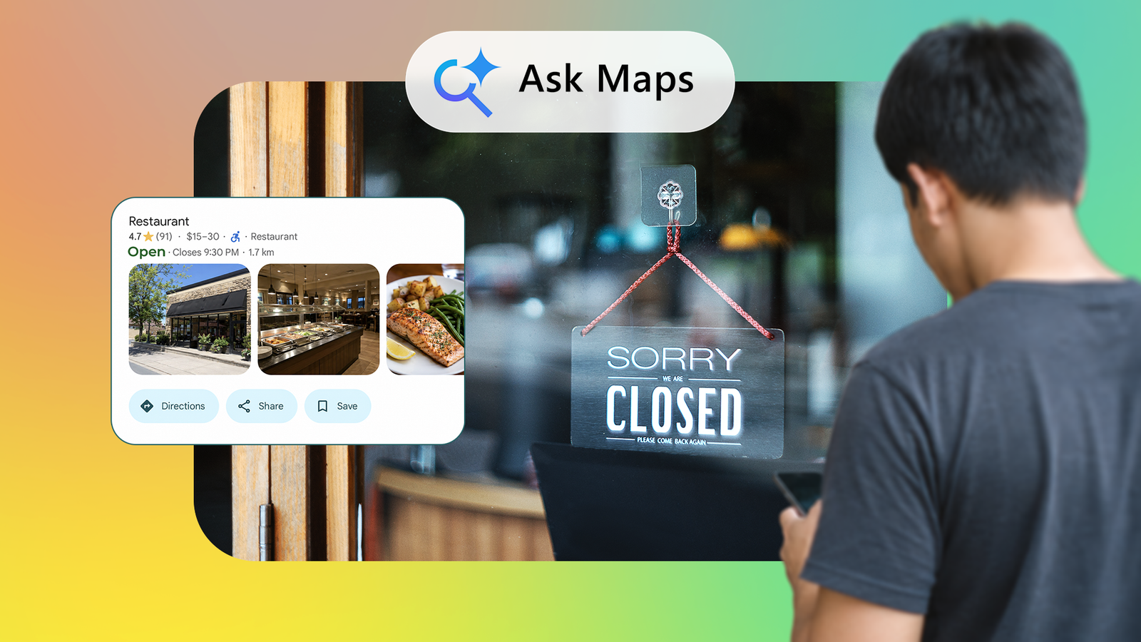
Published Jul 20, 2026, 8:00 AM EDT Oluwaniyi Raji is a tech content specialist who covers consumer technology, software, and digital tools. He has published over 300 articles for outlets including BGR (Boy Genius Report), MakeUseOf, TestGorilla, and Vervoe, focusing on helping readers make informed decisions about the technology they use. His work combines technical accuracy with practical buying advice. When he’s not writing, Oluwaniyi enjoys exploring new productivity tools and watching football. I was never big on using Google Maps' many features, but recently I decided to be more open-minded. The recent improvements and push for AI have made using Google Maps much more intuitive, especially for finding new places. So, when Google shipped Ask Maps in March 2026 and called it the biggest Maps update in about a decade, I was definitely interested. I gave it two weeks of my evenings and some disposable income, and it earned most of that billing. But it also parked me outside a dark building at 9 p.m. on a weekday with nothing to eat. What's interesting isn't that it got one wrong. I already knew about Google Maps' listing issues. It's that I didn't catch the wrong listing despite my knowledge. What Ask Maps does that search can't Google Maps has had keyword search forever, and I've used this feature since the beginning to find banks and gas stations. It's pretty easy to use. Type a term and get every matching listing sorted by distance. That works when the thing you want is functional and interchangeable. I don't care which bank owns the ATM, and I expect every gas station to be equally greasy. Ask Maps runs on Gemini and pulls from more than 300 million places and over 500 million reviews. It also weights results using your search history and saved places. That means it answers questions a listing can't, such as What's the parking like? Is their Wi-Fi fast? What kind of service should I expect? It's already good enough to plan date nights around, and I wanted to know if it was reliable for over two weeks instead of one evening. Two weeks of giving it my evenings It cleared every bar I set I started with prompts I figured were simple enough. On day one, it found a coffee shop with fast Wi-Fi, a work-friendly room, and good pastries, with no issues at all. Prompts like "Green space within walking distance" and "independent non-chain restaurant with short wait times on weekdays" weren't a problem at all. When I asked for "budget-friendly stops on a road trip to..." and it found my new favorite bookstore, I stopped testing it and decided to get more adventurous with Ask Maps. All this works even better thanks to Maps' Immersive Navigation, which has given me more confidence exploring new places. Things kept going well until the second week, when I wanted to try something new for dinner. The night it sent me nowhere The listing was perfect, but the restaurant was gone Thursday of week two, I wanted something sweet. I asked for a well-rated dinner spot with a solid dessert menu and drove over with anticipation. However, the place had been closed for months, and it was obvious from looking at the parking lot. I checked the listing myself afterward. The place had nearly five stars, several reviews praising the desserts, and was still marked open. Ask Maps had read it correctly. Google Maps listings go stale, and that's not a Gemini problem. Businesses close, and it can take weeks before anyone flags it. Maps has struggled with listing accuracy for years, and no amount of AI on top fixes the underlying issues. Quiz 8 Questions · Test Your KnowledgeGoogle Maps and its historyTrivia challenge From humble startup to world navigator — how well do you know the story behind Google Maps? HistoryFeaturesAcquisitionsNavigationMilestones Begin What company originally developed the technology that became Google Maps? AMapQuestBWhere 2 TechnologiesCKeyhole Inc.DNavTeq That's right! Where 2 Technologies, a small Sydney-based startup, created the mapping engine that Google acquired in October 2004. The founders, Lars and Jens Rasmussen, went on to lead the Google Maps team and later co-founded Google Wave. Not quite. The answer is Where 2 Technologies, an Australian startup acquired by Google in 2004. You might have been thinking of Keyhole Inc., which Google also acquired around the same time — but Keyhole's tech became Google Earth, not Google Maps. Continue In what year did Google Maps officially launch to the public? A2003B2004C2005D2006 Correct! Google Maps launched publicly in February 2005, initially only for the United States. It debuted as a web application and quickly stood out for its smooth drag-and-pan interface, which was revolutionary compared to competitors at the time. Not quite — Google Maps launched in February 2005. It may seem like it has been around forever, but 2005 was when the public first got access. Google had been working on the underlying technology since acquiring Where 2 Technologies in late 2004. Continue Which Google Maps feature, launched in 2007, allows users to explore street-level panoramic imagery? AGoogle TerrainBGoogle Earth ViewCStreet ViewDLive View Spot on! Street View launched in May 2007, initially covering five US cities. Google used specially equipped cars fitted with cameras to capture 360-degree imagery, and the feature has since expanded to cover roads, trails, and interiors across the globe. The correct answer is Street View, launched in 2007. Live View is actually a more recent AR walking navigation feature, while Google Earth View is a separate experience. Street View remains one of the most ambitious and recognizable features Google has ever built. Continue Google acquired Waze in 2013 for approximately how much money? A$500 millionB$750 millionC$1.1 billionD$1.8 billion Correct! Google acquired the Israeli navigation app Waze for approximately $1.1 billion in June 2013. It was one of Google's largest acquisitions at the time, and the deal was highly competitive — both Apple and Facebook were reportedly also in talks to buy Waze. The actual price was around $1.1 billion. The Waze acquisition in 2013 was notable not just for its size but for the fierce bidding war it sparked, with Apple and Facebook reportedly competing against Google. Waze has continued to operate as a separate app since the acquisition. Continue Which feature did Google Maps introduce in 2020 to help users navigate public transit while tracking COVID-19 crowding? ATransit alertsBBusyness indicatorsCLive busyness and transit crowdednessDSafe routing Well done! In 2020, Google Maps added live busyness and transit crowdedness information to help users avoid packed buses and trains during the pandemic. The feature used aggregated and anonymized data to show how busy a transit vehicle was in real time. The correct answer is live busyness and transit crowdedness, introduced in 2020. This was one of several pandemic-era updates Google pushed to Maps to help people make safer travel decisions. Google also added COVID-19 layer information showing case trends by region around the same period. Continue Before being integrated into Google Maps, what was the name of the product that powered Google Earth? AEarthViewer 3DBTerraServerCGlobeQuestDSkyMap Pro Correct! The product was called EarthViewer 3D, developed by Keyhole Inc. Google acquired Keyhole in October 2004 and rebranded the software as Google Earth in 2005. The CIA's venture capital arm, In-Q-Tel, had previously invested in Keyhole before Google came along. The answer is EarthViewer 3D, made by Keyhole Inc. before Google acquired the company in 2004. TerraServer was actually a real Microsoft project that predated Google Earth, but Keyhole's EarthViewer was the direct predecessor. The CIA had also invested in Keyhole, making it one of the more colorful backstories in Google's acquisition history. Continue What is the name of Google Maps' augmented reality walking navigation feature that overlays directions onto the real world through your phone's camera? AAR WalkBStreet View NavigationCLive ViewDVisual Navigate That's right! Live View uses augmented reality to overlay directional arrows and street names onto your phone's camera feed, making it much easier to orient yourself at busy intersections. Google first demoed the feature at Google I/O 2018 and rolled it out more broadly in 2019 and 2020. The correct answer is Live View, Google's AR walking navigation tool. It was first shown off at Google I/O 2018 and uses a combination of Street View data and your device's camera to figure out exactly where you're standing and which way you're facing, then overlays directions in real time. Continue Approximately how many users does Google Maps have worldwide as of the early 2020s, making it one of the most used apps on the planet? A500 millionB750 millionC1 billionD2 billion Correct! Google Maps has surpassed 1 billion monthly active users, a milestone Google confirmed around 2021. That makes it one of only a handful of apps ever to reach that threshold, sitting alongside the likes of YouTube, WhatsApp, and Instagram in that elite club. The answer is approximately 1 billion monthly active users, a milestone Google confirmed in the early 2020s. While 2 billion might seem plausible given Google's scale, Maps sits at around 1 billion — still an extraordinary number that reflects how deeply embedded it has become in daily life across the world. See My Score Challenge CompleteYour Score / 8 Thanks for playing! Try Again Why I didn't catch it myself Good answers hide their own sourcing Credit: Lucas Gouveia / Android Police | Gorodenkoff / Shutterstock During the drive home, I thought about what I could do to avoid repeating this incident. When keyword search shows me ten listings, I skim through them. It's easy for me to notice that the newest review is from two years ago, or that the photos look dated, because I'm the one doing the sorting. With Ask Maps, Gemini does the sorting for me and hands over the conclusion. A confident sentence about a dessert menu doesn't show how it arrived at its results, and I never opened the listing to confirm. In short, the failure wasn't bad data. It was that the new interface removed the process that would have led me to spot the bad data in the first place. Ask it to do the part it skipped Now I open the listing before I drive anywhere new and check the date on the top review. If the most recent one is old, I'd usually skip the place unless I already knew the place was still running. Since then, I've caught one other bad suggestion, and it took about as long as reading this sentence. Then I got the obvious idea and started asking Ask Maps to filter out anywhere without recent reviews. It does it, and I've been clean since the first week of July. This works because it brings back the step that the conversational workflow removed. The data is the same, but now Ask Maps looks at it the same way I used to. Worth it, with your eyes open Ask Maps has changed my after-work habits more than any Maps update I can remember, and I'm already planning to use it during my next vacation. It took two weeks to discover this issue because the recommendations were accurate often enough that the one miss clearly stands out because it was the only one. What I'd tell anyone starting now is to be careful about the polish, because a tool that answers in full sentences feels more certain than the data it's presenting actually is. The ten seconds spent checking a review date or additional information is the cost of using it well. It's the same instinct you should keep as Gemini spreads into the rest of Google's apps, but that's a trade I'm willing to make. I wish I'd learned about it before I drove all the way to a restaurant that had closed months ago.
Ask Maps changed how I plan outings, but one closed listing taught me a hard lesson
Full Article
Original Source
Read the full article at Androidpolice →KhanList aggregates and links to publicly available news content. We do not host full articles from third-party sources. Always verify important information with original sources.