
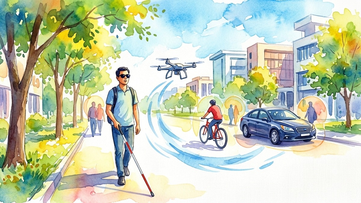
IISc researchers have developed NeoARCADE, a method that helps small drones measure real-world distances using a single camera. The technology could eventually help visually impaired people navigate safely around obstacles.IISc researchers develop drone technology to help visually impaired people navigate (AI-generated image)New Delhi,Oct 28, 2026 12:22 ISTA drone that flies alongside a visually impaired person and warns them about nearby obstacles could one day offer a new way to navigate busy streets. Researchers at the Indian Institute of Science (IISc), Bengaluru, have developed a method that could help make this possible by allowing small drones to estimate how far away objects are.The research addresses a key challenge in drone navigation: figuring out actual distances using just one camera. The findings were published in the journal ACM Transactions on Cyber-Physical Systems.WHY A SINGLE CAMERA STRUGGLES TO MEASURE DISTANCEMore than 2.2 billion people worldwide live with some form of visual impairment, according to the World Health Organisation. While aids such as smart canes can help users detect obstacles nearby, drones could potentially offer an additional layer of assistance by identifying objects around them.However, small, affordable drones often rely on a single camera, making it difficult to distinguish between a small object nearby and a larger one farther away. Existing software can generate what are known as depth maps, assigning scores to pixels to indicate which objects appear closer or farther away. But these scores do not directly translate into actual distances in metres.HOW IISC's PROJECT WORKSTo address this limitation, Yogesh Simmhan and his team at IISc's Department of Computational and Data Sciences developed a method called NeoARCADE, according to the official website of IISc. The system first asks a user to stand at a few known distances from the drone. It then uses the camera's depth scores at those positions to establish a relationship between the scores and actual distances. The same relationship can subsequently be used to estimate the distance to objects such as cars, bicycles and pedestrians.The method also accounts for changing conditions. If variations in lighting or surroundings affect its estimates, the system can detect the drift and recalibrate itself.WHAT THE DRONE TESTS REVEALEDThe researchers, led by doctoral student Suman Raj, tested the method using a commercially available small drone that followed a student acting as a visually impaired person on campus. The computing was performed using a compact GPU device that could fit inside a backpack, according to IISc's website.According to the study, NeoARCADE estimated the distance between the drone and the person it followed with an error of up to 25 centimetres. For cars and bicycles, the error was within 60 centimetres.In comparison, existing depth-map software was found to have errors of around 1.4 to 2 metres.WHAT LIES AHEADThe technology is still at an early stage, and further work would be needed before it could be used reliably in everyday settings. The researchers hope the approach could eventually support drones that help visually impaired people navigate obstacles, as well as drones used to survey large areas autonomously.- Ends
A little help from the skies: How IISc drones could guide the visually impaired
Full Article
Original Source
Read the full article at Indiatoday →KhanList aggregates and links to publicly available news content. We do not host full articles from third-party sources. Always verify important information with original sources.